Topics > Northumberland > Civil Parishes in Northumberland > Lowick Civil Parish > Historic Buildings and Monuments in Lowick Civil Parish
Historic Buildings and Monuments in Lowick Civil Parish
Listed buildings and scheduled monuments in Lowick Civil Parish, Northumberland, from the National Heritage List for England[1]. Use the Search (below) if looking for a specific building / monument.
| Structure | List No. | Grade | Built~ | Notes |
|---|---|---|---|---|
| 11 and 13, Main Street | 1156297 | II | ||
| 15, Main Street | 1042257 | II | ||
| 17-21, Main Street | 1156305 | II | ||
| 2 Monuments to Lee Family, C 20 Yards South-West of Church of St John | 1042255 | II | ||
| 22, Main Street | 1156314 | II | ||
| 5, Cheviot View | 1156067 | II | ||
| Barmoor Castle | 1156023 | II* | C14th | Largely rebuilt in 1801 |
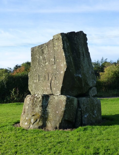
| Barmoor War Memorial | 1392221 | II | 1920 | |
| Bridge C 250 Yards North-West of Hunting Hall Farm | 1370939 | II | ||
| Cartshed C 10 Yards North of Hunting Hall Farm Cottages | 1156184 | II | ||
| Church of St Edward (Roman Catholic) and Attached School | 1370961 | II | ||
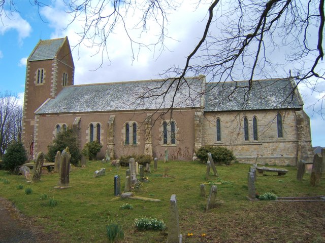
| Church of St John | 1042253 | II | 1794 | Lowick |
| Cottage and Granary C 30 Yards North-East of Holburn Mill | 1156094 | II | ||
| Drying Kiln C 5 Yards East of Holburn Mill | 1370938 | II | ||
| Farmbuildimgs C 20 Yards West of Lowick High Steads Farmhouse | 1155924 | II | ||
| Farmbuildings at West Holburn Farm | 1156167 | II | ||
| Farmbuildings C 40 Yards East of Lowick Northfield Farmhouse | 1042289 | II | ||
| Group of 3 Havery Tombs C 5 Yards South of Church of St John | 1370960 | II | ||
| Holburn Mill | 1042292 | II | C19th | Corn mill |
| Hunting Hall Farm Cottages | 1042293 | II | ||
| Lowick Hall | 1370962 | II | ||
| Lowick High Steads Farmhouse | 1042287 | II | ||
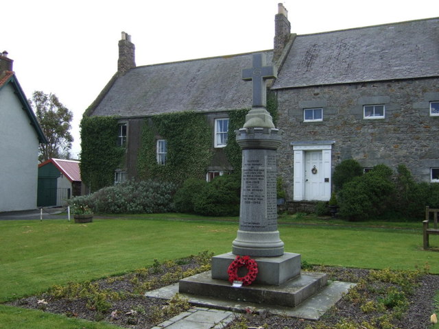
| Lowick War Memorial | 1392222 | II | 1920 | |
| Milepost 1/2 Mile West of Dunsall | 1042286 | II | ||
| Milepost by Lowick Vicarage | 1042294 | II | ||
| Milepost C 1/4 Mile North of Lowick Northfield Farm | 1042290 | II | ||
| Milepost C 1/4 Mile South of Moss Hall | 1042288 | II | ||
| Milepost C 40 Yards East of Red Lion Inn | 1303131 | II | ||
| Milepost Circa 1/4 Mile West of Junction with B6525 | 1155847 | II | ||
| Monument to Harrigade Family C 5 Yards South-West of Church of St John | 1042254 | II | ||
| Presbyterian Church of Scotland | 1042291 | II | ||
| Screen to Farmbuildings C 200 Yards South of Barmoor Castle | 1156052 | II | ||
| St Edwards Presbytery | 1042256 | II | ||
| Stable Block, Including 2 Cottages, Adjoining Barmoor Castle | 1370937 | II | ||
| The Hermitage | 1370959 | II | ||
| The Vicarage | 1156196 | II | ||
| The Village Store | 1042258 | II | ||
| White House and Wall Attached | 1155940 | II | ||
| Earthwork 370yds (340m) E of Low Stead | 1006529 | n/a | Scheduled Monument | |
| Roman temporary camp, 435m north west of Hetton North Farm | 1006480 | n/a | Scheduled Monument |
Primary source: the National Heritage List for England - NHLE is the register of nationally protected historic buildings and sites in England, including listed buildings, scheduled monuments, protected wrecks, registered parks and gardens, and battlefields. The list is maintained by Historic England. Check NHLE for updates and new entries.
Secondary sources: British Listed Buildings and Keys to the Past.
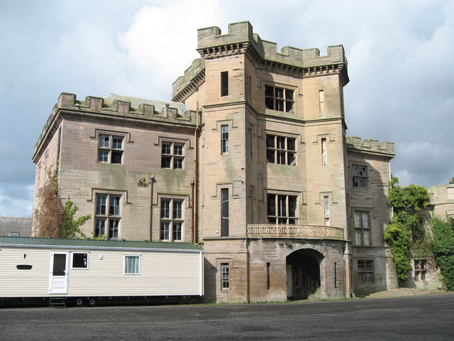
Co-Curate Page
Barmoor Castle
- Overview Barmoor Castle Map Barmoor Castle was first recorded in 1341 when the Muschampe family was granted a licence to crenellate. In 1415 it was described as a fortalice. Barmoor was …
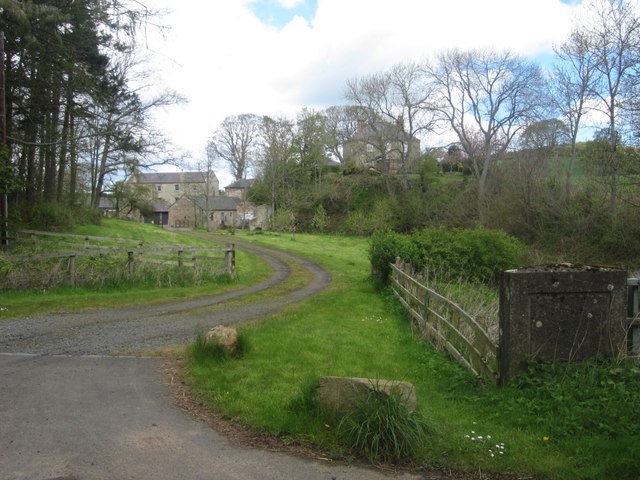
Co-Curate Page
Holburn Mill
- Located by Hetton Burn, just south of the hamlet of Holburn in Northumberland.


Co-Curate Page
Barmoor Castle
- Overview Barmoor Castle Map Barmoor Castle was first recorded in 1341 when the Muschampe family was granted a licence to crenellate. In 1415 it was described as a fortalice. Barmoor was …

