Topics > Northumberland > High Angerton
High Angerton
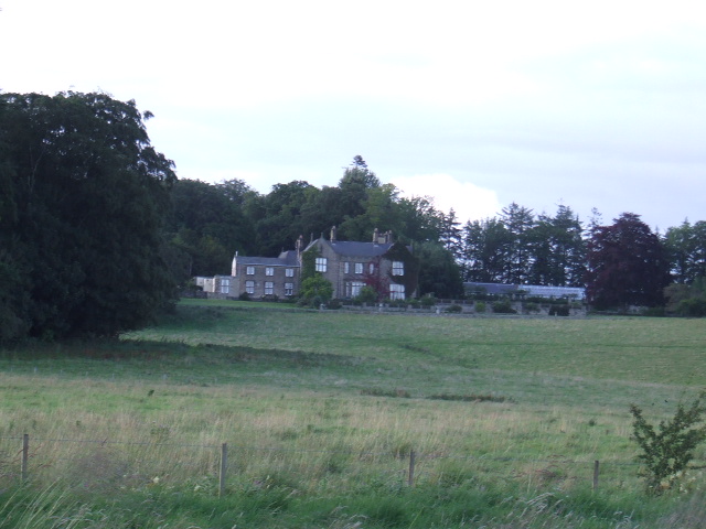
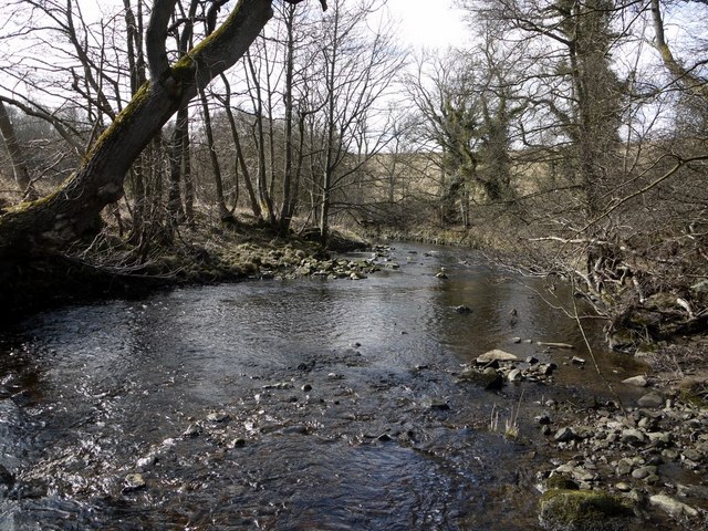
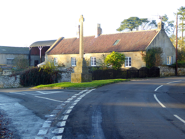
High Angerton is a hamlet in Northumberland, situated on the south banks of Hart Burn (river). It is located about ½ mile south-east of the village of Hartburn and 6½ miles west of Morpeth. Angerton Hall is to the south of the hamlet. Historically, the wider area formed the township of High Angerton, in the ancient parish of Hartburn. From 1866 to 1955, High Angerton was a civil parish. Since then High Angerton has been part of Hartburn Civil Parish.

Co-Curate Page
Hartburn
- Overview About Hartburn Map Street View Hartburn is a village and civil parish in Northumberland. The village is situated by the Hart Burn (river), and located about 6 miles west …

Co-Curate Page
Hartburn Parish, 1855
- Extract from: History, Topography, and Directory of Northumberland...Whellan, William, & Co, 1855. HARTBURN PARISH HARTBURN, a parish partly in the west division of Morpeth Ward, and partly in the …


Co-Curate Page
Hartburn
- Overview About Hartburn Map Street View Hartburn is a village and civil parish in Northumberland. The village is situated by the Hart Burn (river), and located about 6 miles west …
Co-Curate Page
Hartburn Parish, 1855
- Extract from: History, Topography, and Directory of Northumberland...Whellan, William, & Co, 1855. HARTBURN PARISH HARTBURN, a parish partly in the west division of Morpeth Ward, and partly in the …