Topics > Northumberland > Shoreswood > HFDF Tower, Shoreswood
HFDF Tower, Shoreswood
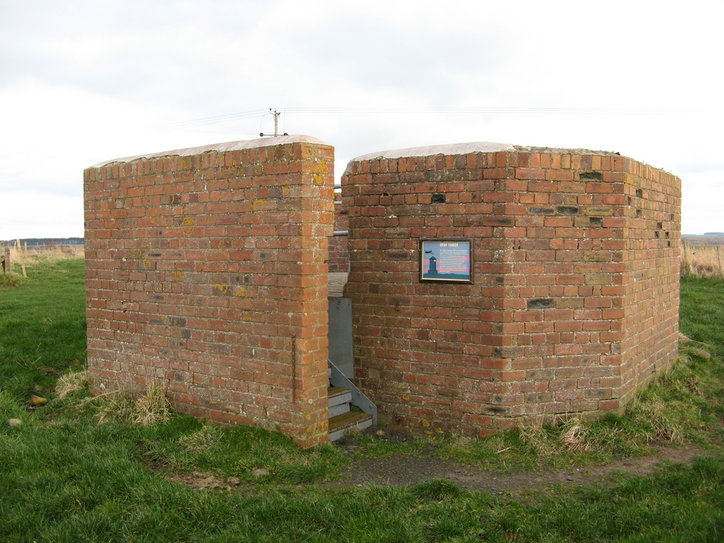
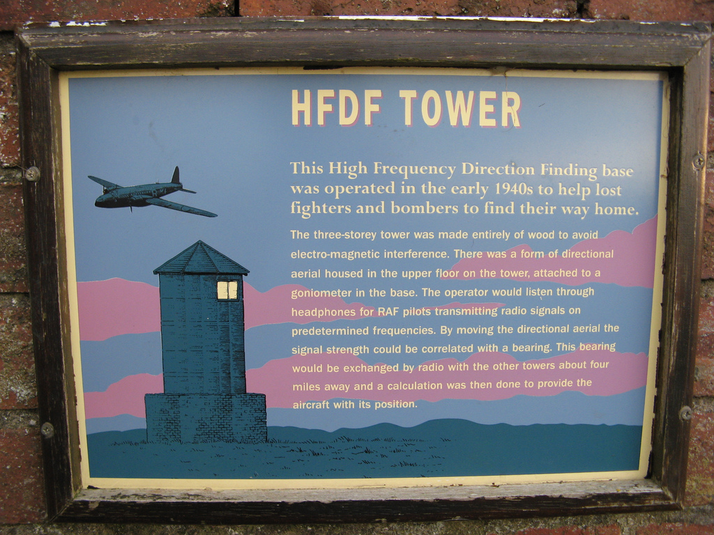
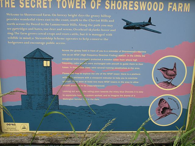
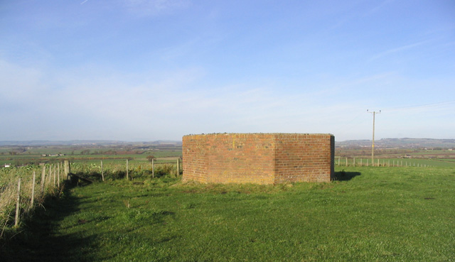
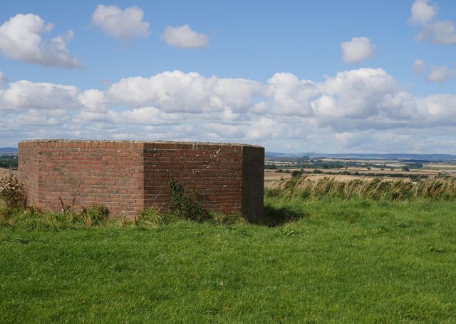
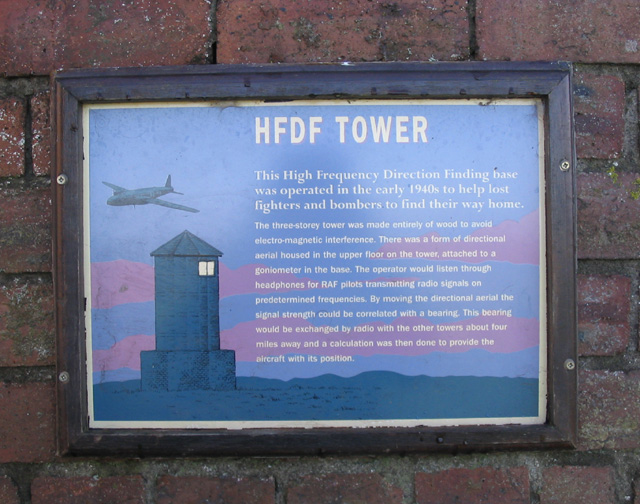
On Shoreswood Ewe Hill, by Shoreswood in Northumberland, there is the octagonal brick base of a High Frequency Direction Finding (HFDF) station, built during the Second World War. In the 1940's the brick base supported a 3 storey wooden tower, from which high frequency radio signals were exchanged with aircraft to guide them to their bases. During the war there were several aerodromes and at least 2 more HFDF towers in the area, to triangulate aircraft positions.[1] Today, there are modern radio masts and a square covered reservoir built next to the old HFDF base.
from Geograph (geograph)
The remains of a High Frequency Direction Finding Tower
Pinned by Simon Cotterill
from Geograph (geograph)
High Frequency Direction Finding (HFDF) tower base, Shoreswood
Pinned by Simon Cotterill
from Geograph (geograph)
Information board on the HFDF tower base at Shoreswood Ewe Hill
Pinned by Simon Cotterill

from https://keystothepast.info/se…
Direction Finder (Shoreswood)
- "This is the concrete base of a World War II direction finder, used for locating enemy aeroplanes."
Added by
Simon Cotterill


from Geograph (geograph)
The remains of a High Frequency Direction Finding Tower
Pinned by Simon Cotterill

from Geograph (geograph)
High Frequency Direction Finding (HFDF) tower base, Shoreswood
Pinned by Simon Cotterill

from Geograph (geograph)
Information board on the HFDF tower base at Shoreswood Ewe Hill
Pinned by Simon Cotterill

from https://keystothepast.info/se…
Direction Finder (Shoreswood)
- "This is the concrete base of a World War II direction finder, used for locating enemy aeroplanes."
Added by
Simon Cotterill
