Topics > Northumberland > Grindon, near Haydon Bridge
Grindon, near Haydon Bridge
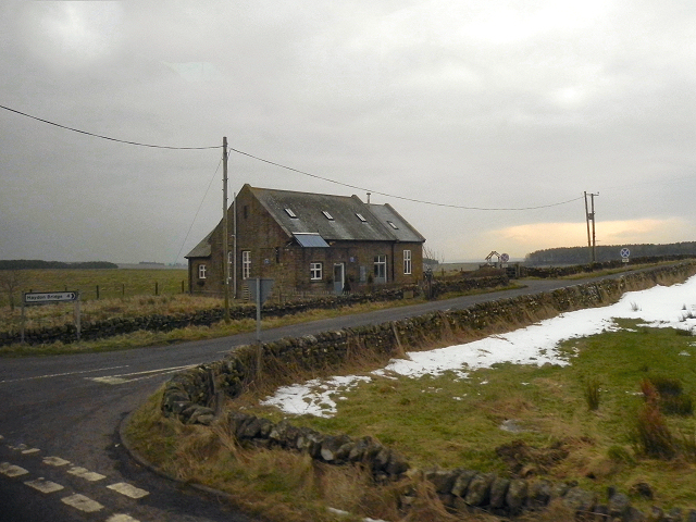
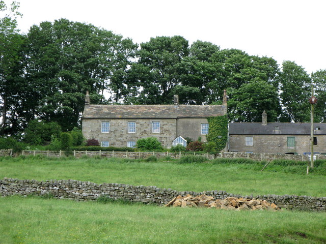
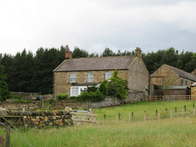
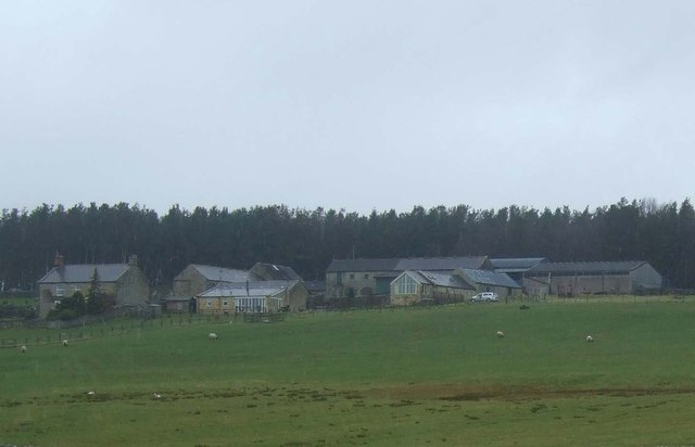
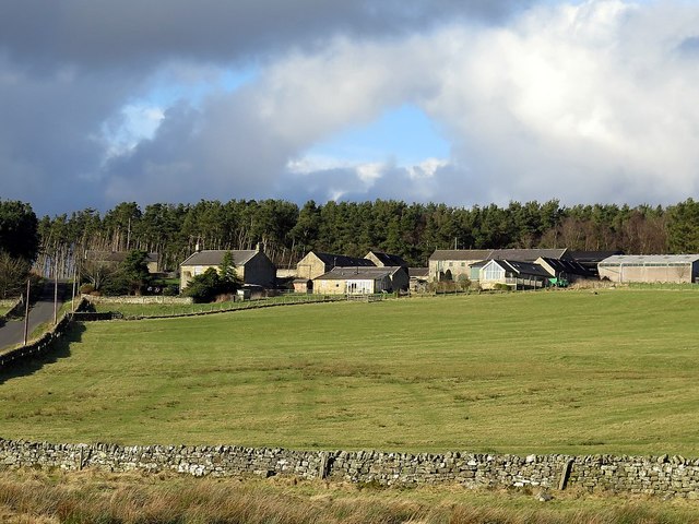
Grindon is a farm / hamlet near Hadrian's Wall and about 5½ miles north of Haydon Bridge. Whellan's 1855 directory of Northumberland lists Grindon under Haydon Chapelry and John Woodman Jnr as farmer here at that time.

from https://keystothepast.info/se…
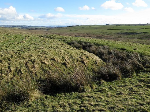
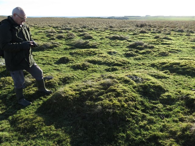
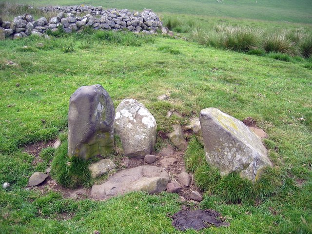
Cord rig plough marks, Grindon (Haydon)
- "Farmers in the Iron Age period ploughed small plots of land here creating narrow ridges and furrows known as cord rig...."
Added by
Simon Cotterill

Co-Curate Page
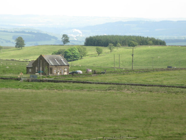
Turret 34A (Grindon West), Hadrian's Wall
- Overview Map Street View Interactive Glossary Turret 34A (Grindon West) in Wall Mile 34 of Hadrian's Wall, about ¾mile north-west of Grindon Farm. It is a well-preserved, consolidated watchtower, noted …

from https://keystothepast.info/se…
Cord rig plough marks, Grindon (Haydon)
- "Farmers in the Iron Age period ploughed small plots of land here creating narrow ridges and furrows known as cord rig...."
Added by
Simon Cotterill