Topics > Northumberland > Glanton
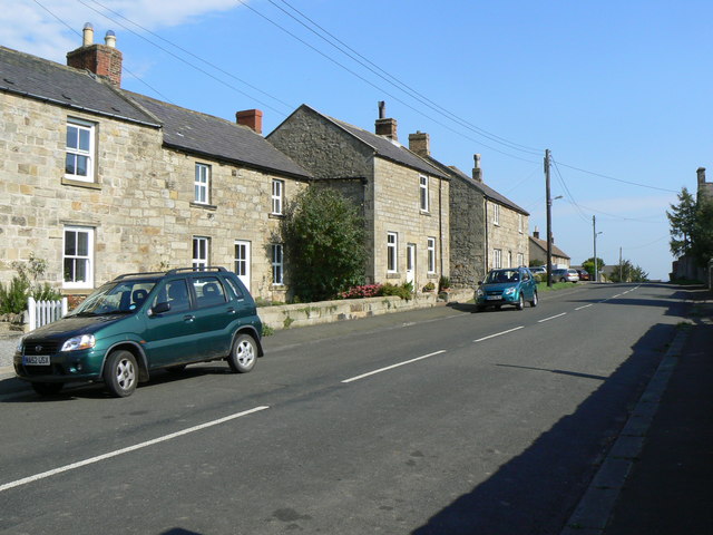
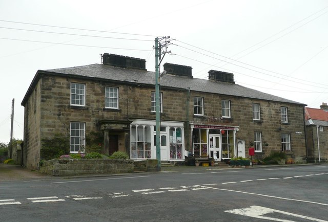
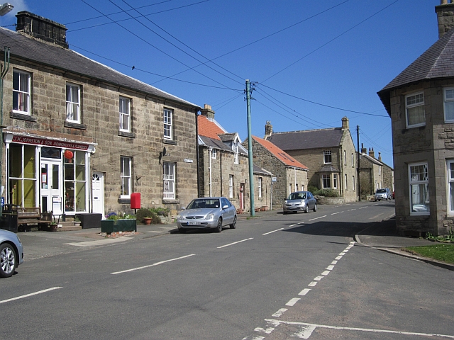
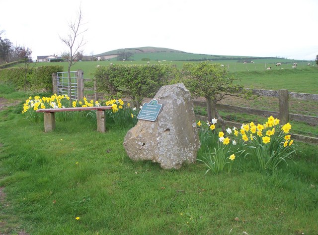
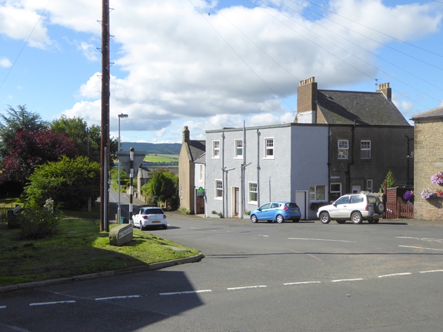
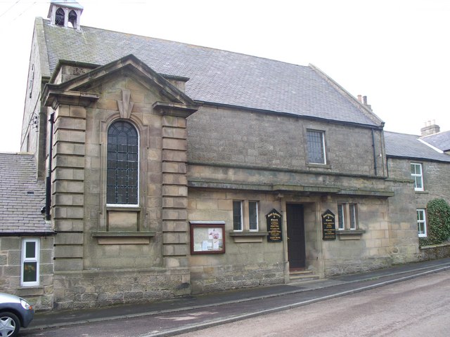
Glanton
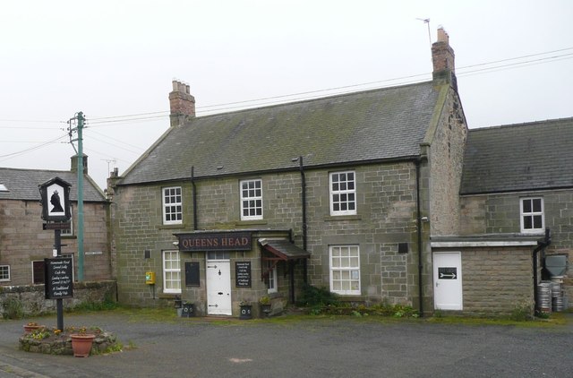
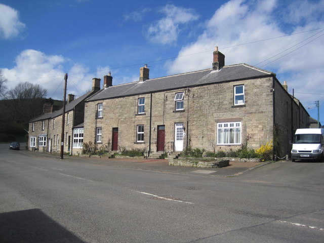
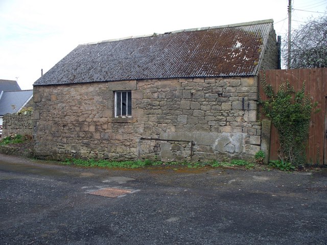
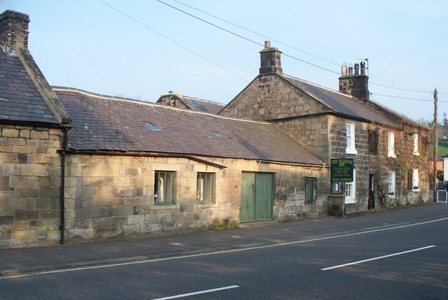
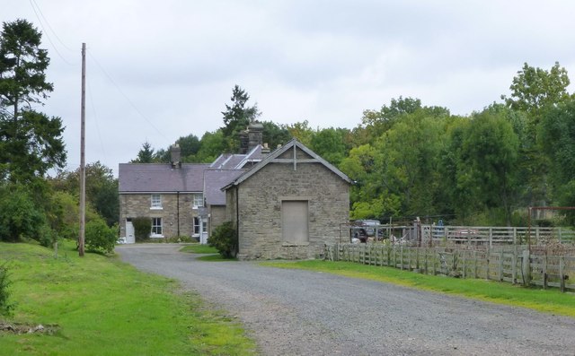
Glanton is a small rural village, in the county of Northumberland, England. Historically, Glanton was a relatively industrial village, although in recent years the level of industry has declined. Agriculture now dominates the surrounding area.
Governance
Glanton is in the parliamentary constituency of Berwick-upon-Tweed. As a district, it is a part of the unitary authority of Northumberland.
Landmarks
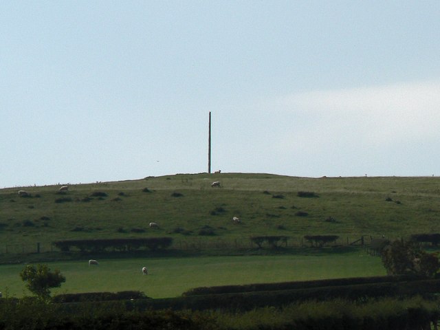
The Devil's Causeway passes the eastern edge of the village. The causeway was a Roman road which started at Port Gate on Hadrian's Wall, north of Corbridge, and extended 55 miles (89 km) northwards across Northumberland to the mouth of the River Tweed at Berwick-upon-Tweed.
Notable people
- Hugh Trevor-Roper, Lord Dacre of Glanton, historian
from IllustratedChronicles (flickr)
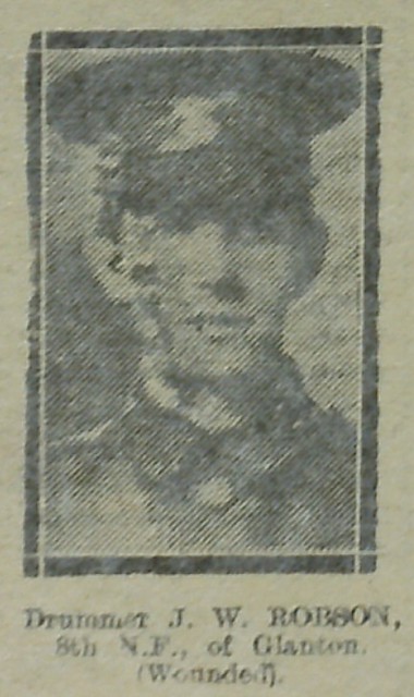
JW Robson - 8th NF - Glanton (Wounded)
Pinned by Simon Cotterill
from IllustratedChronicles (flickr)
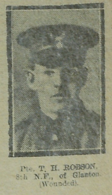
TH Robson - 8th NF - Glanton (Wounded)
Pinned by Simon Cotterill
Co-Curate Page
Powburn
- Overview About Powburn Map Street View Powburn is a small village on the A697 in Northumberland, England about south of Wooler and northwest of Alnwick. Landmarks The Devil's Causeway …

Co-Curate Page
Glanton, 1848
- GLANTON, a township, in the parish of Whittingham, union of Alnwick, N. division of Coquetdale ward and of Northumberland, 8 miles (W.) from Alnwick; containing 592 inhabitants. The village is pleasantly …

Co-Curate Page
Whittingham Parish, 1855
- Extract from: History, Topography, and Directory of Northumberland...Whellan, William, & Co, 1855. WHlTTINGHAM PARISH WHITTINGHAM parish comprises the townships of Callaley with Yetlington, Glanton, Lorbottle, Ryle Great, Ryle Little, …

from IllustratedChronicles (flickr)
JW Robson - 8th NF - Glanton (Wounded)
Pinned by Simon Cotterill
from IllustratedChronicles (flickr)
TH Robson - 8th NF - Glanton (Wounded)
Pinned by Simon Cotterill
Co-Curate Page
Powburn
- Overview About Powburn Map Street View Powburn is a small village on the A697 in Northumberland, England about south of Wooler and northwest of Alnwick. Landmarks The Devil's Causeway …
Co-Curate Page
Glanton, 1848
- GLANTON, a township, in the parish of Whittingham, union of Alnwick, N. division of Coquetdale ward and of Northumberland, 8 miles (W.) from Alnwick; containing 592 inhabitants. The village is pleasantly …


