Topics > Newcastle City Centre > Streets > Forth Street
Forth Street
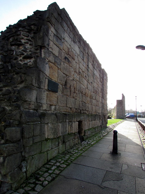
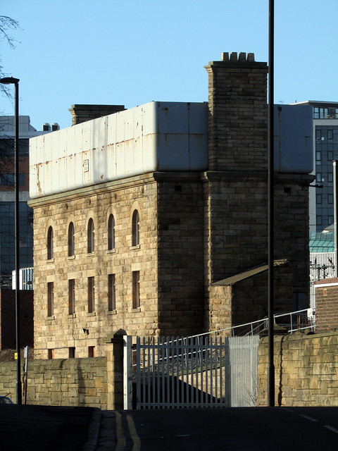
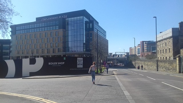
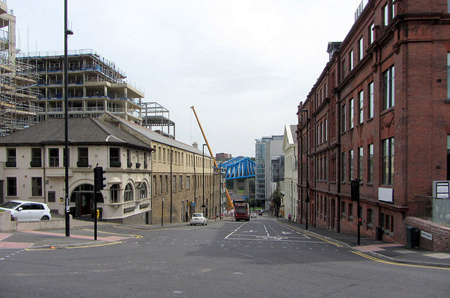
"Forth Street was laid out 1811 as an extension of the medieval street called The Postern to link to Forth Banks...It was moved south before 1896 as a result of the widening of the railway viaduct for the Newcastle York and Berwick Railway." (SiteLines)
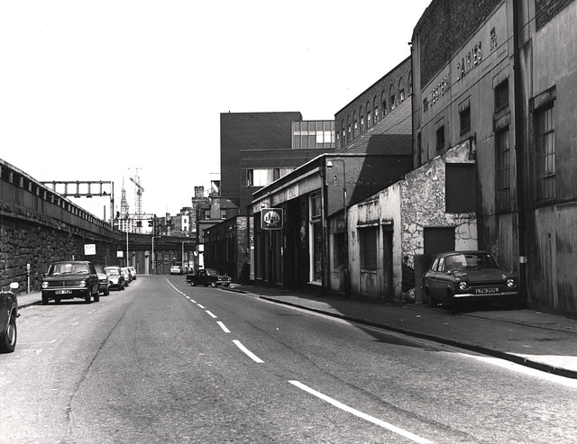
from Newcastle libraries (flickr)
023305:Forth Street, Newcastle upon Tyne, City Engineers 1975
Pinned by Simon Cotterill
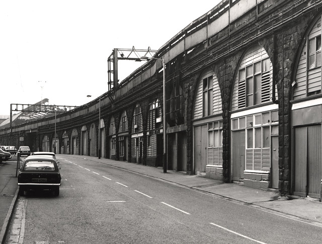
from Newcastle libraries (flickr)
023303:Forth Street Newcastle upon Tyne City Engineers 1975
Pinned by Simon Cotterill
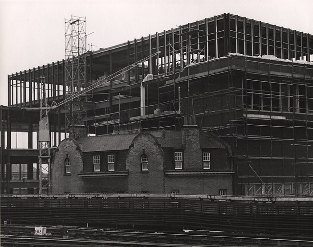
from Newcastle libraries (flickr)
018357:Federation Breweries extension and Telegraph Pub, Forth Street, Newcastle upon Tyne,1968
Pinned by Simon Cotterill
from http://twsitelines.info/SMR/1…
Tyne and Wear HER(15053): Newcastle, Forth Street
- "Forth Street was laid out 1811 as an extension of the medieval street called The Postern to link to Forth Banks. 'The Road to it [the Forth] had also been …
Added by
Simon Cotterill
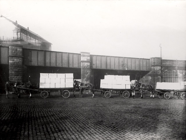
from Newcastle libraries (flickr)
024122: Forth Goods Station, Forth Street, Newcastle upon Tyne c.1890
Pinned by Simon Cotterill
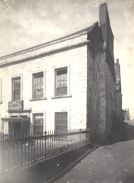
Co-Curate Page
Clavering Place
- Overview Map Street View Clavering Place is a street in Newcastle, which runs south from Westgate Road under a railway viaduct down to Tuthill Stairs, which lead down to the …


from Newcastle libraries (flickr)
023305:Forth Street, Newcastle upon Tyne, City Engineers 1975
Pinned by Simon Cotterill

from Newcastle libraries (flickr)
023303:Forth Street Newcastle upon Tyne City Engineers 1975
Pinned by Simon Cotterill

from Newcastle libraries (flickr)
018357:Federation Breweries extension and Telegraph Pub, Forth Street, Newcastle upon Tyne,1968
Pinned by Simon Cotterill

from http://twsitelines.info/SMR/1…
Tyne and Wear HER(15053): Newcastle, Forth Street
- "Forth Street was laid out 1811 as an extension of the medieval street called The Postern to link to Forth Banks. 'The Road to it [the Forth] had also been …
Added by
Simon Cotterill

from Newcastle libraries (flickr)
024122: Forth Goods Station, Forth Street, Newcastle upon Tyne c.1890
Pinned by Simon Cotterill

Co-Curate Page
Clavering Place
- Overview Map Street View Clavering Place is a street in Newcastle, which runs south from Westgate Road under a railway viaduct down to Tuthill Stairs, which lead down to the …
Borough: Newcastle
