Topics > Geography > Rivers > River Coquet > Floods 2008, River Coquet
Floods 2008, River Coquet
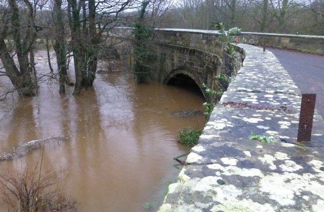
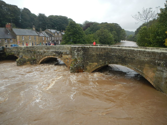
At the monitoring station at Rothbury, the typical level of the River Coquet is 0.26m to 1.80m deep - on the 6th of September 2008, following heavy rain, the river flooded reaching a level of 4.05m.[1]
from Geograph (geograph)
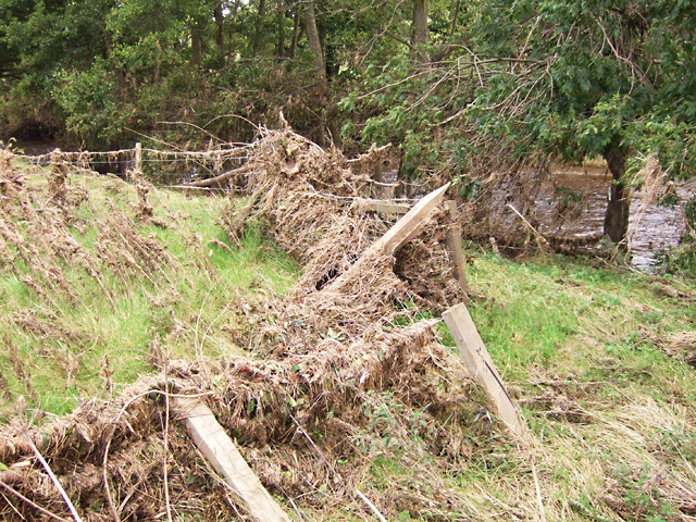
The River Coquet – fence broken by September 2008 floods
Pinned by Simon Cotterill


from https://flood-warning-informa…
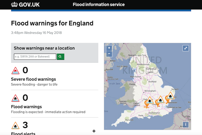
River level - River Coquet at Rothbury
- River level information from the monitoring station at Rothbury.
Added by
Simon Cotterill

from Geograph (geograph)
The River Coquet – fence broken by September 2008 floods
Pinned by Simon Cotterill
from https://flood-warning-informa…
River level - River Coquet at Rothbury
- River level information from the monitoring station at Rothbury.
Added by
Simon Cotterill