Topics > Geography > Rivers > River Aln > Cawledge Burn > Firth Burn
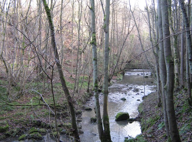
Firth Burn
Firth Burn is a tributary of Cawledge Burn. It flows near St Margaret's Farm and Snipe House, to the south-west of Alnwick.


Co-Curate Page
St Margaret's Farm, Denwick
- Overview Map Street View St Margaret's is located about 2½ miles south-west of the town of Alnwick. It is situated near Firth Burn. Whellan's 1855 directory of Northumberland lists Thomas …

Co-Curate Page
Snipe House, Denwick
- Overview Map Snipe House is a farm / hamlet in Northumberland, located about 3 miles south-west of Alnwick and 2 miles west of Shilbottle. Whellan's 1855 directory of Northumberland lists …

Co-Curate Page
St Margaret's Farm, Denwick
- Overview Map Street View St Margaret's is located about 2½ miles south-west of the town of Alnwick. It is situated near Firth Burn. Whellan's 1855 directory of Northumberland lists Thomas …