Topics > Northumberland > Civil Parishes in Northumberland > Earle Civil Parish
Earle Civil Parish
Area: 34.8 km²
Population:
<100 (2021 Census)
Co-Curate Page
Earle
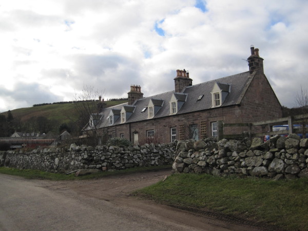
- Overview About Earle Map Street View Earle is a small rural village and a civil parish in Northumberland close to the Cheviot hills. The village is 2 miles south of …
Co-Curate Page
Langleeford
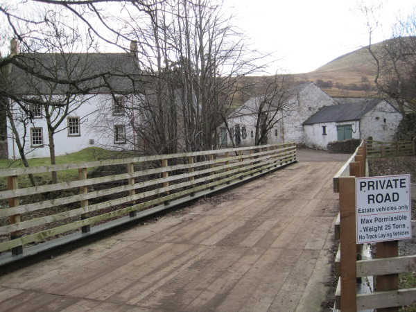
- Overview Map Street View Langleeford is a remote hamlet in Northumberland, located by the Harthope Burn, about 5 miles south-west of Wooler. Langleeford forms part of the Civil Parish of …
Co-Curate Page
Langleeford Hope
- Overview Map Langleeford Hope is a remote farmstead by the Harthope Burn in Northumberland, located near The Cheviot (hill), about 6 miles south-west of Wooler. The hamet of Langleeford, also …
Co-Curate Page
Middleton Hall, near Wooler
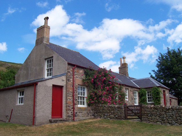
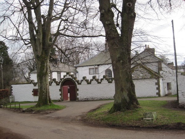
- Overview Map Street View Middleton Hall in Earle, near Wooler, was built in 1807. The hall was built on the site of a medieval basstle house and Middleton Hall (sometimes …

Co-Curate Page
Earle Township, 1848
- EARL, or Yeard-Hill, a township, in the parish of Doddington, union, and E. division of the ward, of Glendale, N. division of Northumberland, 1¼ mile (S. by W.) from Wooler; …

Co-Curate Page
Earle
- Overview About Earle Map Street View Earle is a small rural village and a civil parish in Northumberland close to the Cheviot hills. The village is 2 miles south of …
Co-Curate Page
Langleeford
- Overview Map Street View Langleeford is a remote hamlet in Northumberland, located by the Harthope Burn, about 5 miles south-west of Wooler. Langleeford forms part of the Civil Parish of …
Co-Curate Page
Langleeford Hope
- Overview Map Langleeford Hope is a remote farmstead by the Harthope Burn in Northumberland, located near The Cheviot (hill), about 6 miles south-west of Wooler. The hamet of Langleeford, also …
Co-Curate Page
Middleton Hall, near Wooler
- Overview Map Street View Middleton Hall in Earle, near Wooler, was built in 1807. The hall was built on the site of a medieval basstle house and Middleton Hall (sometimes …


