Topics > Northumberland > Civil Parishes in Northumberland > Denwick Civil Parish
Denwick Civil Parish
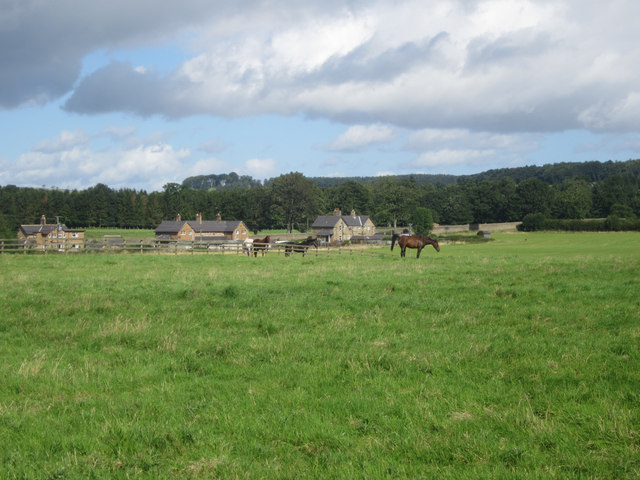
The map above is the main part of Denwick Civil Parish, located to the north of the town of Alnwick. The map below is the Detached part of Denwick Civil Parish, located to the south of Alnwick.
Parish boundaries may have changed - for the latest map see the Parish Council or Northumberland County Council.
About the Parish
| Overview: |
Denwick Civil Parish in Northumberland was created on the 30th September 1894 out of the rural parts of the Civil Parish of Alnwick. Unusually, the new civil parish was divided into two separate areas, to the north and south of the town of Alnwick. The southern portion is known as "Denwick Detached". |
| Settlements: |
Denwick (village), Broomhouse, Heckly, Heckly-Grange, Loaninghead, and Whitehouse Denwick Detached includes: East Cawledge, Greensfield Moor, Hobberlaw, Middle Cawledge Park, Rugley, St Margaret's, Shiel Dykes, Snipe House & West Cawledge Park |
| Population: |
172 (2021 Census) 267 (2011 Census) 266 (2001 Census) |
| Area: | 28.1 km² |
| Parish Council: | Denwick Parish Council |
| Unitary Authority: | Northumberland County Council |
Historical |
|
|
Ancient Townships (in modern CP area) |
Population:
Gazetteer:
Population:
Gazetteer:
Population:
Gazetteer:
Population:
Gazetteer:
Townships generally became civil parishes in their own right in 1866 (see below). However, this was not the case with the townships in the ancient parish of Alnwick. |
| Ancient Parish: |
Population:
Gazetteers:
The parish covered a wider geographical area compared to todays Alnwick Civil Parish. Ancient parishes refer to the parishes before the split between ecclesiastical (church) and civil parishes in the 19th century. They had a parish church and often were composed of multiple townships and chapelries. In many cases, townships and parishes were originally based on the territory of manors from the feudal system during medieval times. Civil parishes were created following the Poor Law Amendment Act 1866, in which Church of England parishes, extra-parochial areas, townships and chapelries, became "civil parishes" which could set their own poor rate (tax). Then the reforms of Local Government Act 1894 established elected civil parish councils (or parish meetings for parishes with less than 300 residents) and created urban and rural districts. Boundaries of parishes and civil parishes may have changed over time. |
| Ancient District: |
Bambrough (ward) |
| Poor Law Union: |
Alnwick Poor Law Union, formed in 1836. Alnwick Union Workhouse was built in 1841 on Wagon Way Road, south-east of Alnwick, built to house 120 inmates. Prior to that there were smaller workhouses in Alnwick, Birling and Warkworth. Under the Poor Law Amendment Act of 1834 parishes were grouped into Unions, each of which had to build a workhouse if they did not already have one. It ended the old system of locally provided poor relief which had come under strain as numbers out of work grew, following increasing mechanisation of agriculture and the economic downturn after the Napoleonic Wars, along with changing social attitudes. The workhouse provided those unable to support themselves financially with accommodation and work. Inmates were generally segregated into men, women, boys and girls. The workhouse system was abolished by the Local Government Act 1929, but many workhouses lived on as ‘Public Assistance Institutions’ until the National Assistance Act 1948. |
|
District Council: |
Alnwick Rural District formed in 1894. The district was abolished in 1974, following the Local Government Act 1972. Alnwick District from 1974 to 2009. Alnwick District covered the area of 4 former districts (Alnwick Urban District, Amble Urban District, Alnwick Rural District and Rothbury Rural District). The district council was abolished when Northumberland became a unitary authority on the 1st of April 2009. |
|
Major Boundary Changes |
1894 - Denwick Civil Parish created from the rural parts of Alnwick Civil Parish. |
|
County / Unitary Authority |
The ancient county of Northumberland was enlarged following the Counties (Detached Parts) Act 1844; Bedlingtonshire, Norhamshire, Islandshire, the Farne Islands and Monks' House all became part of Northumberland. Up to then they had been enclaves of County Durham. Northumberland County Council formed 1889. Major boundary changes came into effect on the 1st April 1974. This followed the Local Government Act 1972, which formed the non-metropolitan county of Northumberland. This excluded the City of Newcastle upon Tyne and North Tyneside, which up to then had been part of Northumberland, but now became part of the newly formed Tyne & Wear. Northumberland County Council became a unitary authority on the 1st of April 2009. |
See also: ![]() Historic Buildings and Monuments in Denwick Civil Parish. Note: listed buildings are generally the responsibility of the county council / unitary authority, rather than the parish council.
Historic Buildings and Monuments in Denwick Civil Parish. Note: listed buildings are generally the responsibility of the county council / unitary authority, rather than the parish council.
Co-Curate Page
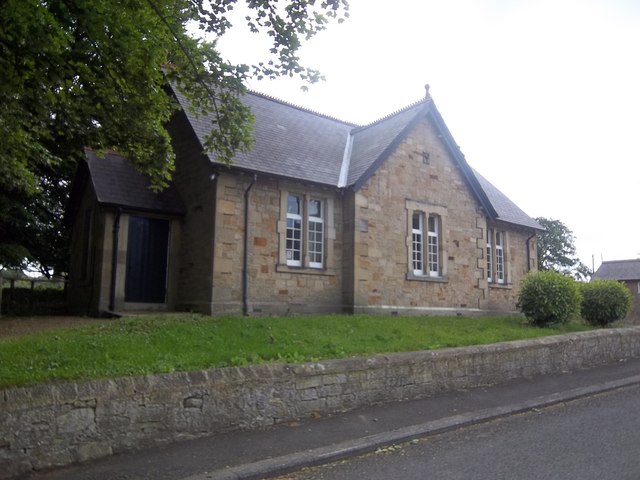
Denwick
- Overview About Denwick Map Street View Denwick is a village in Northumberland, located to the north of the River Aln and about a mile and a half north-east of Alnwick. …
Co-Curate Page
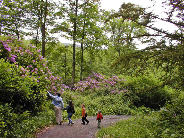
Hulne Park
- Hulne Park is a large country park to the north-west of Alnwick, and part of the Duke of Northumberland's estates. It covers about 3,000 acres around the River Aln with …
Co-Curate Page
Shiel Dykes
- Overview Map Street View Shiel Dykes (Shield Dykes, Shieldykes) is a hamlet / farm, located about 5 miles south-west of Alnwick and 1½ miles north-west of Newton on the Moor …

Co-Curate Page
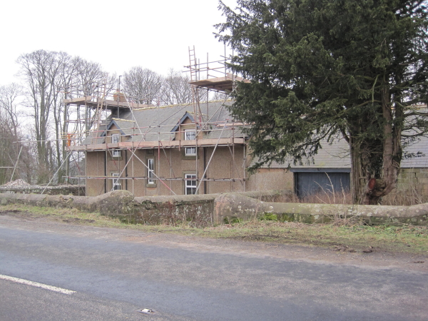
Broomhouse (Denwick)
- Overview Map Street View Broom House (aka Broomhouse) is located about 1 mile north of Alnwick and 1 mile west of the village of Denwick. It is by the junction …
Co-Curate Page
Loaning Head
- Overview Map Street View Loaning Head is a farm in Northumberland, located by the B6341 (the old Great North Road), near its junction with Smiley Lane. It is close to …
Co-Curate Page
Abbeylands
- Overview Map Street View Abbeylands is a hamlet in Northumberland, located near the River Aln, about 1 mile north of Alnwick. Historically, Abbeylands was a township in the ancient Parish …

Co-Curate Page
Heckley, Denwick
- Overview Map Street View Heckley is a distributed group of farms/hamlets, located about 1½ miles north of Alnwick in Northumberland. They include Heckley House, Heckley High House and Heckley Fence. …

Co-Curate Page
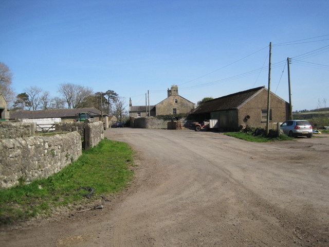
Rugley, Denwick
- Overview Map Street View Rugley Farm is located off Rugley Road, about 2 miles south-west of Alnwick. Rugley Burn flows to the north of the farm, past Rugley Woods. Old …

Co-Curate Page
East Cawledge
- Overview Map Street View East Cawledge (historic spelling: Cauledge) is a hamlet located about half mile south-east of Alnwick. There is East Cawledge Farm and a couple of cottages, situated …


Co-Curate Page
West Cawledge Park
- Overview Map West Cawledge Park is a former dairy farm which supplied milk to Alnwick until the 1950s. The land was dispersed to adjoining farms in the 1960s. The owners …

Co-Curate Page
Greensfield Moor Farm (Denwick)
- Overview Map Street View Greensfield Moor Farm is located off the A1 about 1 mile south of Alnwick town centre. It is situated to the north of Cawledge Burn. The …

Co-Curate Page
Hobberlaw
- Overview Map Street View Hobberlaw is a farm in Northumberland, located off Rugley Road, south west of Alnwick. A settlement existed here in medieval times, which was part of the …

from https://northumberlandparishe…
Denwick Parish Council
- Website of Denwick Parish Council. "The small village of Denwick lies in one corner of the civil parish that, unusually, is divided into two separate areas to the north and …
Added by
Simon Cotterill

Co-Curate Page
Denwick
- Overview About Denwick Map Street View Denwick is a village in Northumberland, located to the north of the River Aln and about a mile and a half north-east of Alnwick. …
Co-Curate Page
Hulne Park
- Hulne Park is a large country park to the north-west of Alnwick, and part of the Duke of Northumberland's estates. It covers about 3,000 acres around the River Aln with …
Co-Curate Page
Shiel Dykes
- Overview Map Street View Shiel Dykes (Shield Dykes, Shieldykes) is a hamlet / farm, located about 5 miles south-west of Alnwick and 1½ miles north-west of Newton on the Moor …
Co-Curate Page
Broomhouse (Denwick)
- Overview Map Street View Broom House (aka Broomhouse) is located about 1 mile north of Alnwick and 1 mile west of the village of Denwick. It is by the junction …
Co-Curate Page
Loaning Head
- Overview Map Street View Loaning Head is a farm in Northumberland, located by the B6341 (the old Great North Road), near its junction with Smiley Lane. It is close to …
Co-Curate Page
Abbeylands
- Overview Map Street View Abbeylands is a hamlet in Northumberland, located near the River Aln, about 1 mile north of Alnwick. Historically, Abbeylands was a township in the ancient Parish …
Co-Curate Page
Heckley, Denwick
- Overview Map Street View Heckley is a distributed group of farms/hamlets, located about 1½ miles north of Alnwick in Northumberland. They include Heckley House, Heckley High House and Heckley Fence. …
Co-Curate Page
Rugley, Denwick
- Overview Map Street View Rugley Farm is located off Rugley Road, about 2 miles south-west of Alnwick. Rugley Burn flows to the north of the farm, past Rugley Woods. Old …
Co-Curate Page
East Cawledge
- Overview Map Street View East Cawledge (historic spelling: Cauledge) is a hamlet located about half mile south-east of Alnwick. There is East Cawledge Farm and a couple of cottages, situated …
Co-Curate Page
West Cawledge Park
- Overview Map West Cawledge Park is a former dairy farm which supplied milk to Alnwick until the 1950s. The land was dispersed to adjoining farms in the 1960s. The owners …
Co-Curate Page
Greensfield Moor Farm (Denwick)
- Overview Map Street View Greensfield Moor Farm is located off the A1 about 1 mile south of Alnwick town centre. It is situated to the north of Cawledge Burn. The …
Co-Curate Page
Hobberlaw
- Overview Map Street View Hobberlaw is a farm in Northumberland, located off Rugley Road, south west of Alnwick. A settlement existed here in medieval times, which was part of the …
from https://northumberlandparishe…
Denwick Parish Council
- Website of Denwick Parish Council. "The small village of Denwick lies in one corner of the civil parish that, unusually, is divided into two separate areas to the north and …
Added by
Simon Cotterill


