Topics > Cumbria > Rivers in Cumbria > River Eden (Cumbria) > Croglin Water
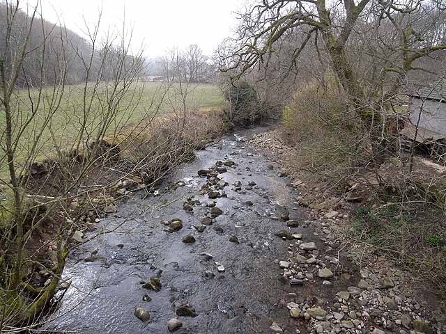
Croglin Water
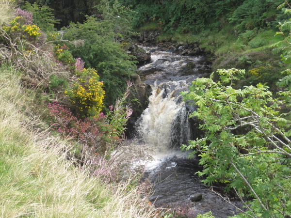
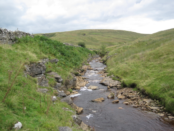
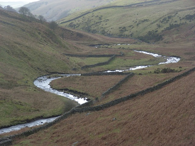
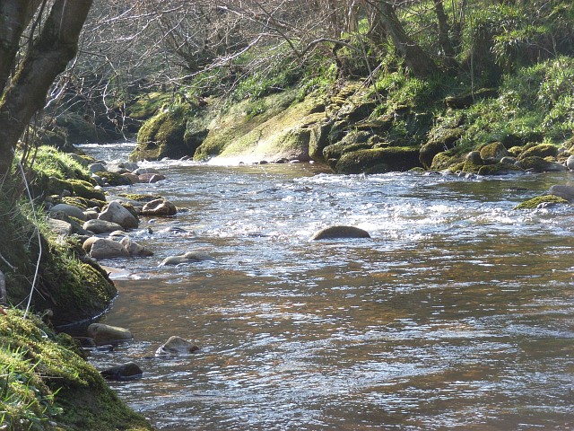
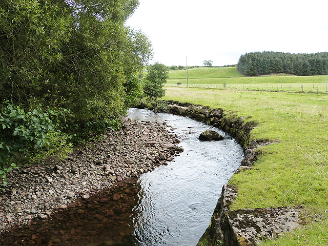
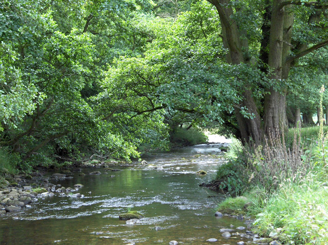
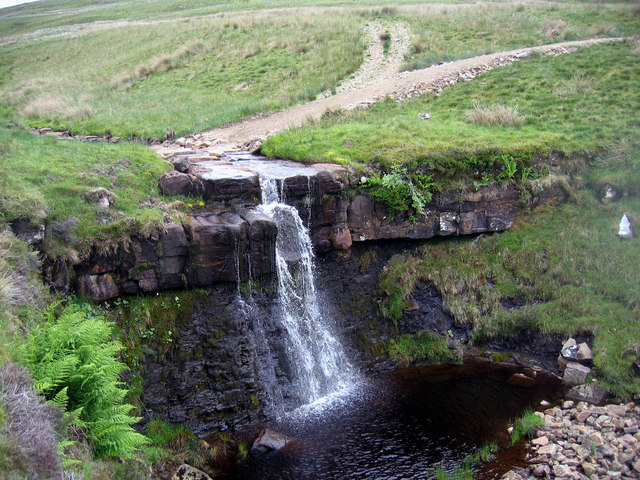
Croglin Water is a river which is a tributary of the River Eden in Cumbria.

Co-Curate Page
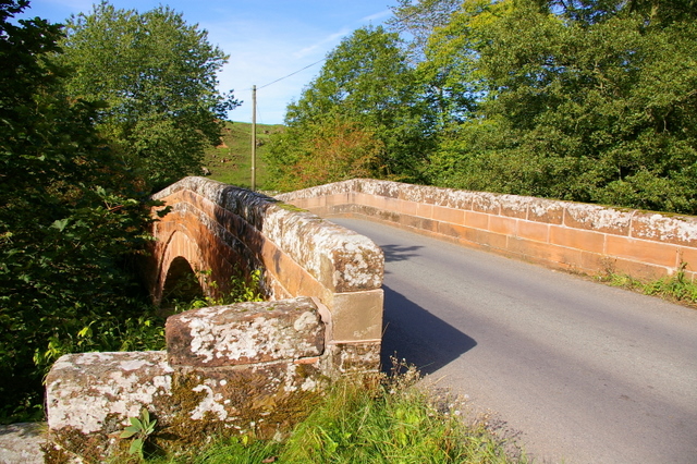
Croglin Bridge
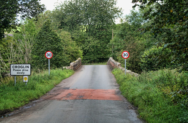
- Overview Map Street View A stone bridge carries the B6413 road over Croglin Water at the south of the village of Croglin in Cumbria. It was known as Croglin High …

Co-Curate Page
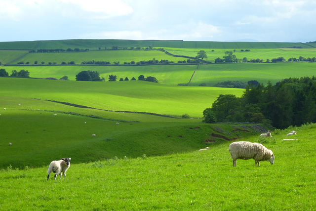
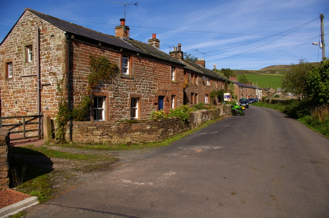
Croglin Low Hall
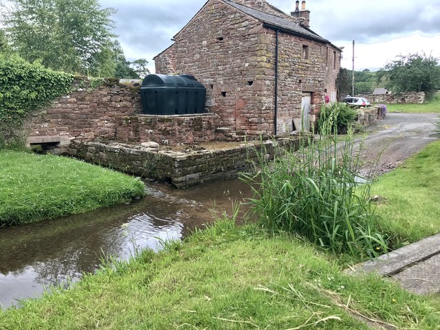
- Overview Map Street View Croglin Low Hall is located about 10 miles south-east of Carlisle and is about 2 miles south-west of the village of Croglin. It is situated near …

Co-Curate Page
Croglin Bridge
- Overview Map Street View A stone bridge carries the B6413 road over Croglin Water at the south of the village of Croglin in Cumbria. It was known as Croglin High …
Co-Curate Page
Croglin Low Hall
- Overview Map Street View Croglin Low Hall is located about 10 miles south-east of Carlisle and is about 2 miles south-west of the village of Croglin. It is situated near …


Grid ref:
NY5865447565
")


