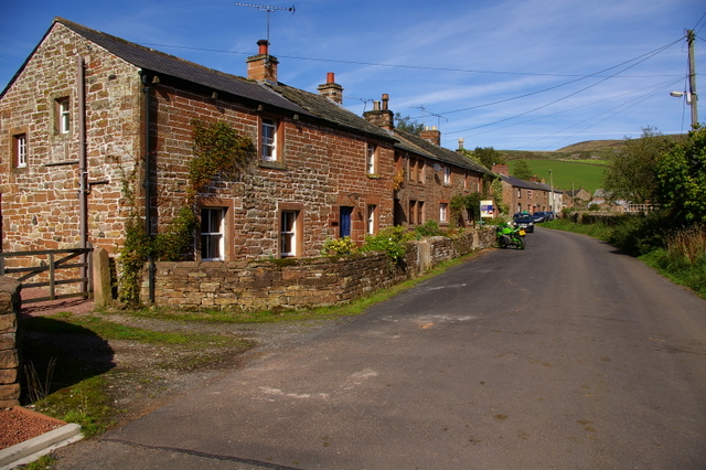
Topics > Cumbria > Croglin > Croglin Bridge

Croglin Bridge


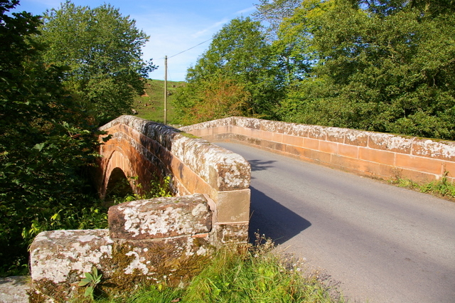
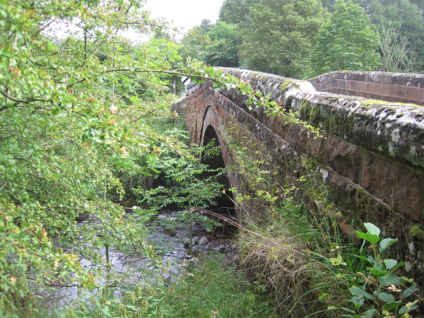
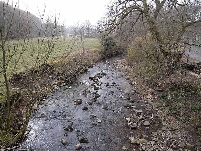
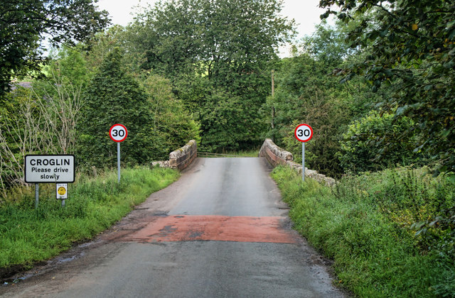
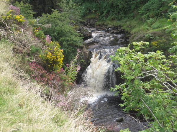
A stone bridge carries the B6413 road over Croglin Water at the south of the village of Croglin in Cumbria. It was known as Croglin High Bridge (Croglin Low Bridge being located downstream on Croglin Water, near Nunnery Walks). Croglin High Bridge was rebuilt in 1773 and the Low Bridge in 1775. Perhaps, this followed the Great Flood of 1771, which damaged or destroyed most bridges across Northern England.

Croglin Historic Buildings and Monuments in Ainstable Parish Croglin Water Bridges
from Geograph (geograph)
Croglin Bridge

Pinned by Simon Cotterill
from Geograph (geograph)
Croglin Bridge, Croglin

Pinned by Simon Cotterill
from Geograph (geograph)
Croglin Water

Pinned by Simon Cotterill
from Geograph (geograph)
Croglin Bridge

Pinned by Simon Cotterill

Comments

Add a comment or share a memory.

Login to add a comment. Sign-up if you don't already have an account.


County: Cumbria
Grid ref: NY5756146977
Unitary Auth: Westmorland & Furness

ABOUT US

Co-Curate is a project which brings together online collections, museums, universities, schools and community groups to make and re-make stories and images from North East England and Cumbria. Co-Curate is a trans-disciplinary project that will open up 'official' museum and 'un-officia'l co-created community-based collections and archives through innovative collaborative approaches using social media and open archives/data.

LATEST SHARED RESOURCES