Topics > Geography > Rivers > River Tyne > Cor Burn
Cor Burn
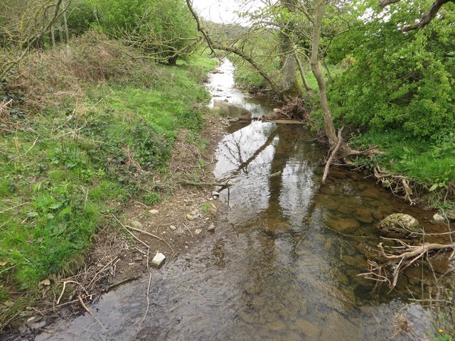
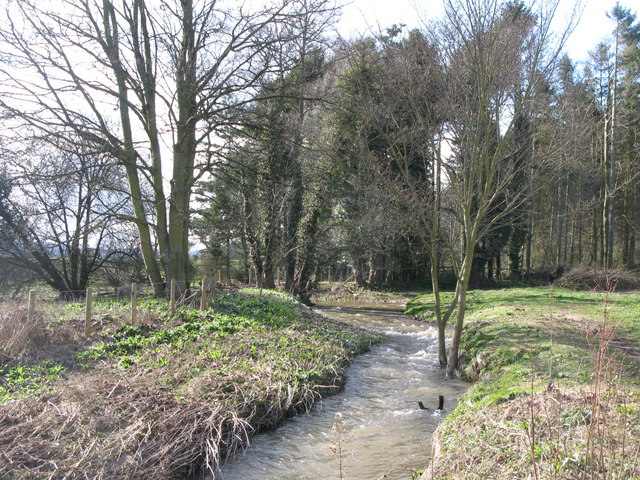
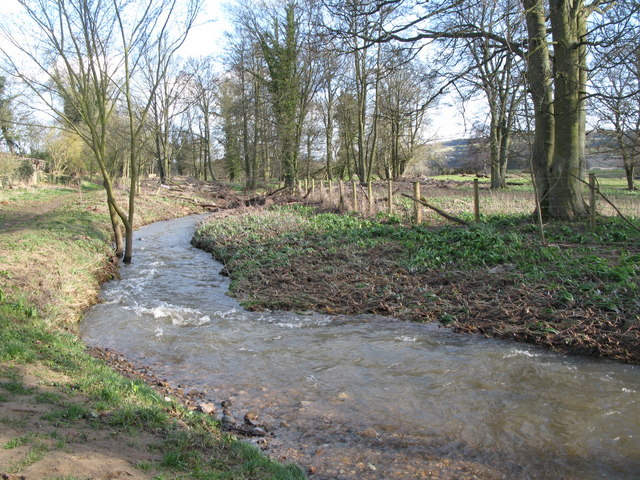
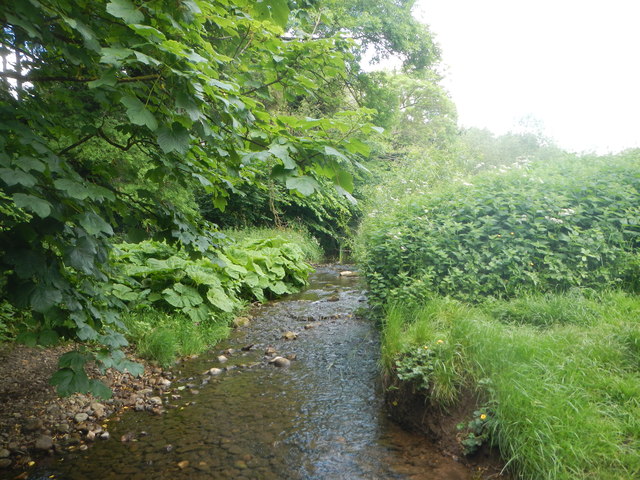
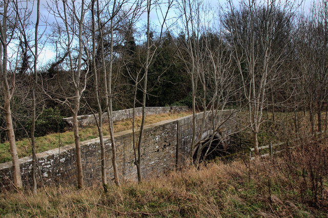
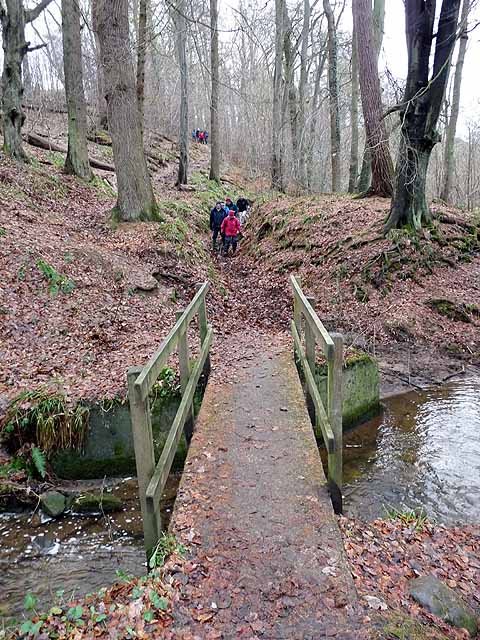
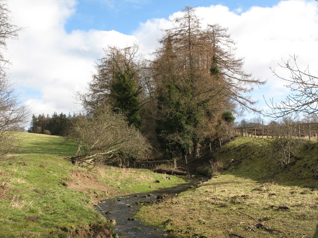
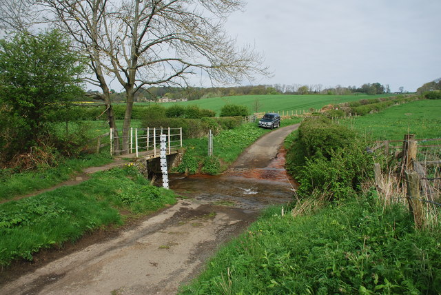
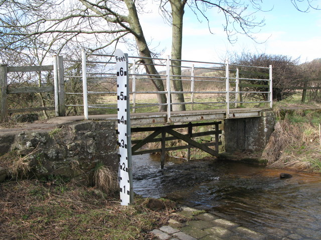
Cor Burn is a small river in Northumberland, which is a tributary of the River Tyne. The Cor Burn is 4.4km long and flows roughly south-westerly, past Aydon Castle, to join the Tyne to the west of Corbridge, near the Roman fort. The burn has a catchment area of 16.2 km2.[1] There is an old 18th century bridge over the Cor Burn, just to the north of Corbridge, which is Grade I listed.
Co-Curate Page
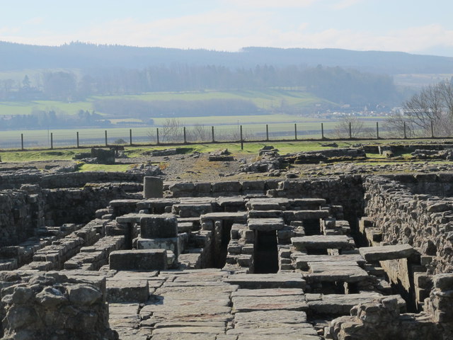
Corbridge Roman Town and Fort
- Overview About Corbridge Roman Fort/Town Map Street View Corstopitum Coria was a fort and town 2.5 miles (4.0 km) south of Hadrian's Wall, in the Roman province of Britannia at a …
Co-Curate Page
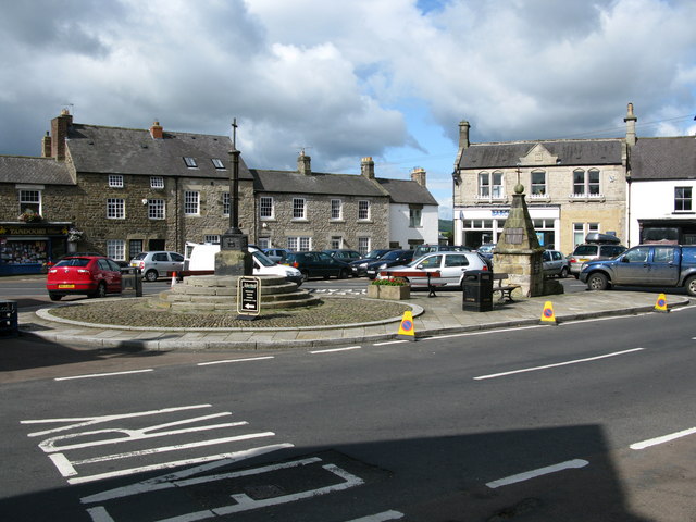
Corbridge
- Overview About Corbridge Map Timeline Street View Corbridge is a large village by the River Tyne, located about 3 miles east of Hexham and 17 miles west of Newcastle. Corbridge …
Co-Curate Page
Aydon Castle
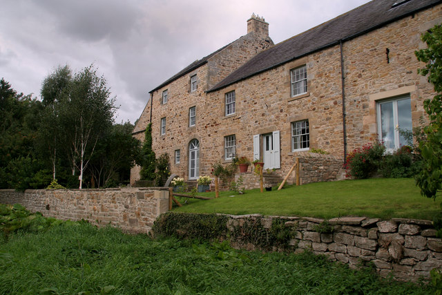
- Overview About Aydon Castle Map Street View Aydon Castle is a 13th century English manor house, located one mile from Corbridge. The house was heavily fortified on the outbreak of …


Co-Curate Page
Corbridge Roman Town and Fort
- Overview About Corbridge Roman Fort/Town Map Street View Corstopitum Coria was a fort and town 2.5 miles (4.0 km) south of Hadrian's Wall, in the Roman province of Britannia at a …

Co-Curate Page
Corbridge
- Overview About Corbridge Map Timeline Street View Corbridge is a large village by the River Tyne, located about 3 miles east of Hexham and 17 miles west of Newcastle. Corbridge …

Co-Curate Page
Aydon Castle
- Overview About Aydon Castle Map Street View Aydon Castle is a 13th century English manor house, located one mile from Corbridge. The house was heavily fortified on the outbreak of …
Grid ref:
NY9910265664
