Topics > County Durham > Sunderland Bridge > Church of St Bartholomew
Church of St Bartholomew
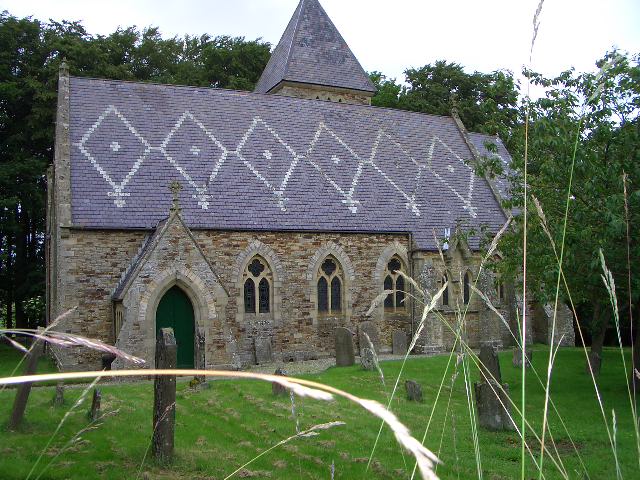
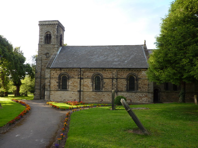
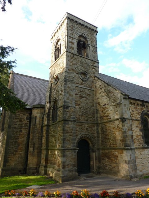
St Bartholomew's is the parish church in Sunderland Bridge, County Durham. The church was built 1843-1846 by George Pickering. St Bartholomew's Church is Grade II listed on the National Heritage List for England.
from Geograph (geograph)
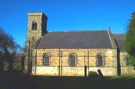
The Parish Church of St Bartholomew's, Sunderland Bridge, Tower
Pinned by Simon Cotterill

from Geograph (geograph)
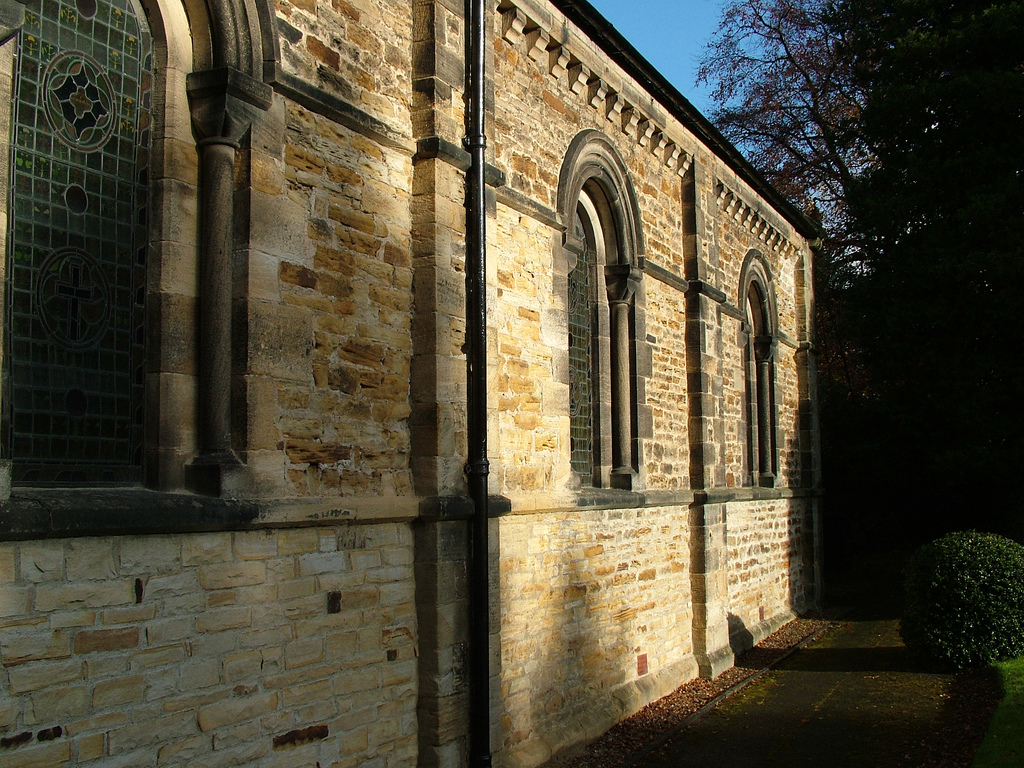
The Parish Church of St Bartholomew's, Sunderland Bridge, Doorway
Pinned by Simon Cotterill
from Geograph (geograph)
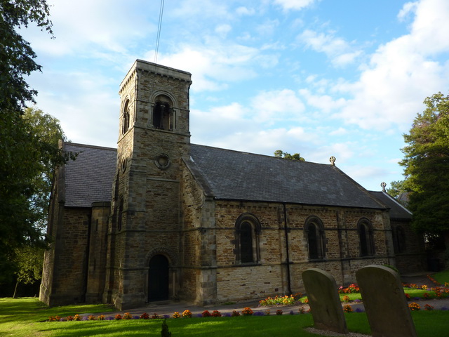
The Parish Church of St Bartholomew's, Sunderland Bridge
Pinned by Simon Cotterill
from Geograph (geograph)
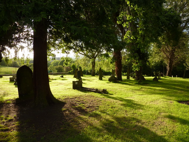
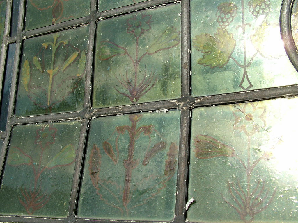
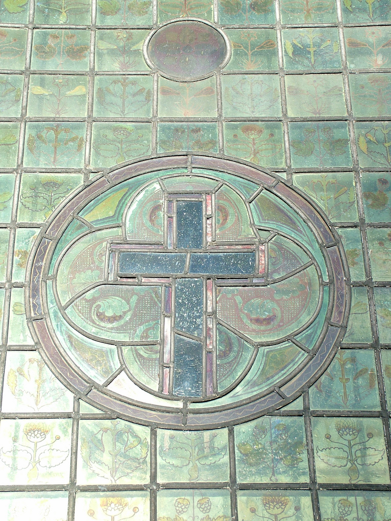
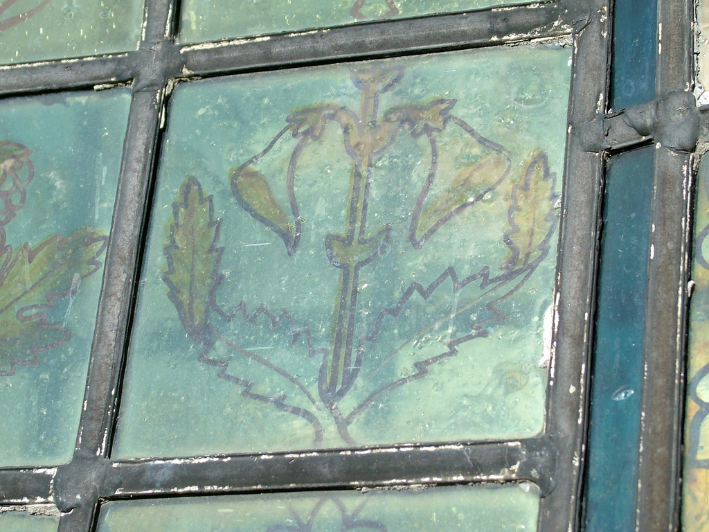
The Parish Church of St Bartholomew's, Sunderland Bridge, Graveyard
Pinned by Simon Cotterill

from https://historicengland.org.u…
CHURCH OF ST BARTHOLOMEW - Sunderland Bridge - List Entry
- "Parish church. 1843-6 by George Pickering; north wall demolished and new nave and chancel added 1876-8 by C.H. Fowler. Romanesque style with Decorated Gothic additions. Squared sandstone with dressings and …
Added by
Simon Cotterill
from Flickr (flickr)
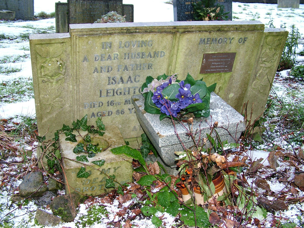
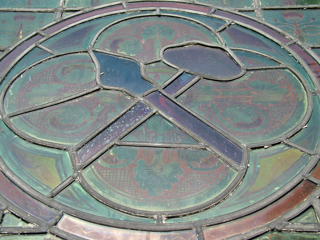
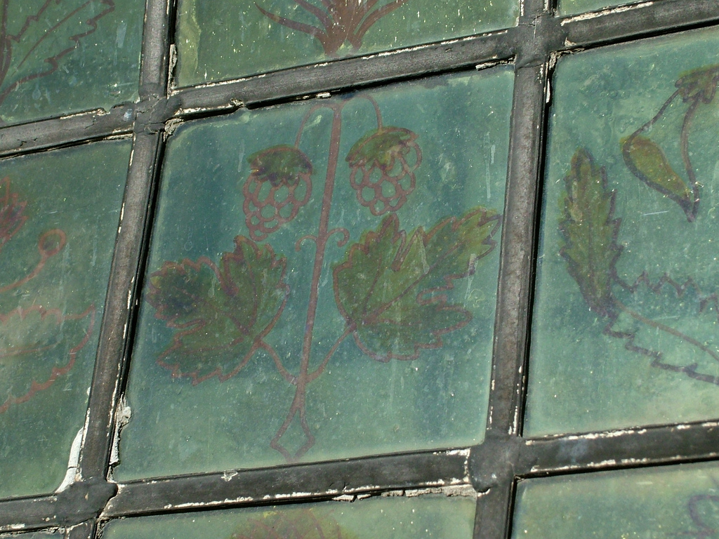
66 - Grave, St Bartholomew's Church Sunderland Bridge Village
Pinned by Pat Thomson
Co-Curate Page
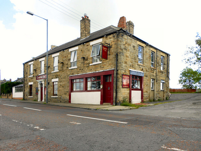
Croxdale
- Overview About Croxdale Map Street View Croxdale is a village in County Durham, located near the River Wear, about 4 miles south of Durham and 2 miles north of Spennymoor. The …
Co-Curate Page
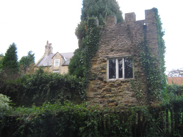
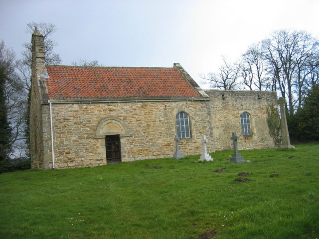
Old Chapel, Croxdale
- The "Old Church" of St Bartholomew, located by Croxdale Hall, was originally built in the late 11th, or early 12th century. It was formerly a chapel of ease for St …

from Geograph (geograph)
The Parish Church of St Bartholomew's, Sunderland Bridge, Tower
Pinned by Simon Cotterill
from Geograph (geograph)
The Parish Church of St Bartholomew's, Sunderland Bridge, Doorway
Pinned by Simon Cotterill
from Geograph (geograph)
The Parish Church of St Bartholomew's, Sunderland Bridge
Pinned by Simon Cotterill
from Geograph (geograph)
The Parish Church of St Bartholomew's, Sunderland Bridge, Graveyard
Pinned by Simon Cotterill
from https://historicengland.org.u…
CHURCH OF ST BARTHOLOMEW - Sunderland Bridge - List Entry
- "Parish church. 1843-6 by George Pickering; north wall demolished and new nave and chancel added 1876-8 by C.H. Fowler. Romanesque style with Decorated Gothic additions. Squared sandstone with dressings and …
Added by
Simon Cotterill
from Flickr (flickr)
66 - Grave, St Bartholomew's Church Sunderland Bridge Village
Pinned by Pat Thomson
Co-Curate Page
Croxdale
- Overview About Croxdale Map Street View Croxdale is a village in County Durham, located near the River Wear, about 4 miles south of Durham and 2 miles north of Spennymoor. The …