Topics > Geography > Rivers > River North Tyne > Chirdon Burn
Chirdon Burn
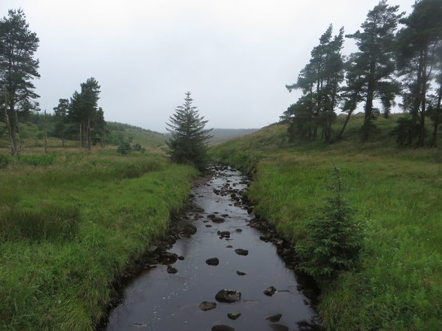
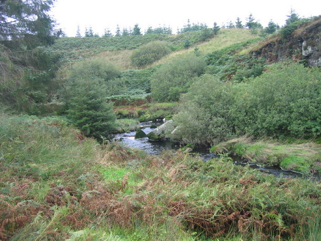
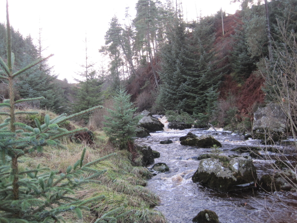
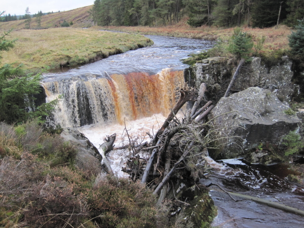
Chirdon Burn is a river in Northumberland, which is a tributary of the River North Tyne. The river is about 24 km long, with a catchment area of 51.8 km2.[1] The river arises near Paddaburn Moor and flows roughly north-easterly, close to the southern side of Kielder Forest, joining the North Tyne near Tarset.
from Geograph (geograph)
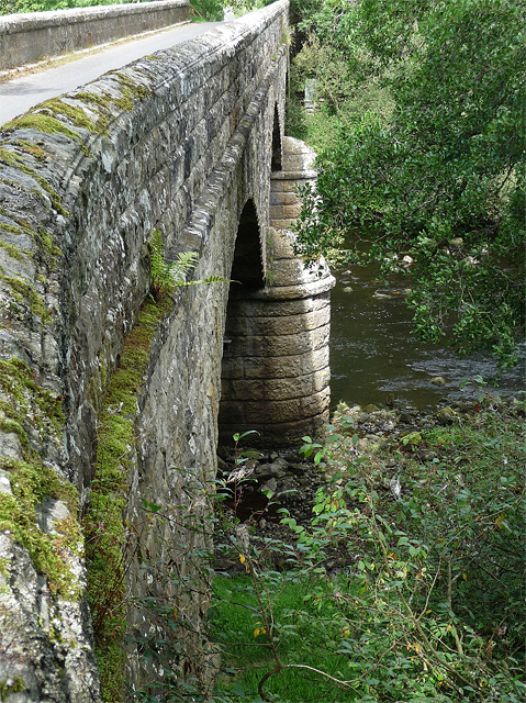
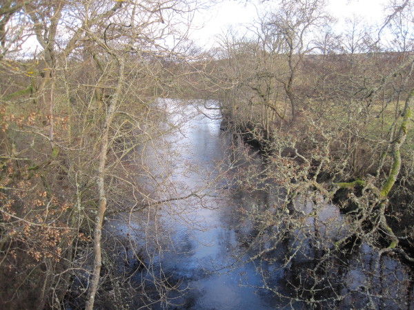
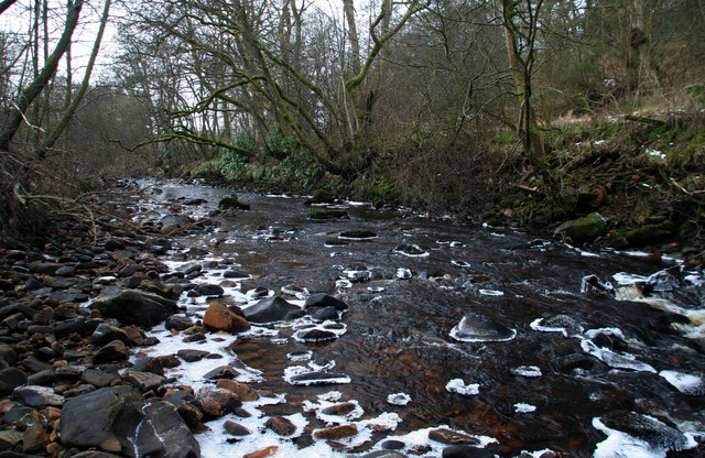
Confluence of the Chirdon Burn and the River North Tyne
Pinned by Simon Cotterill

Co-Curate Page
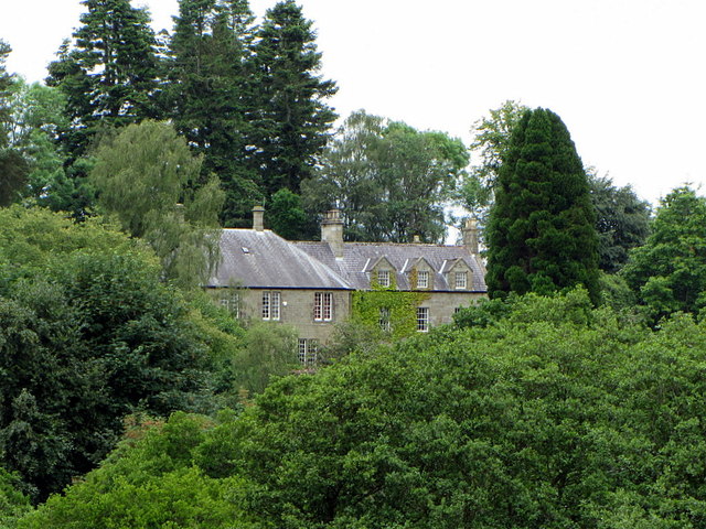
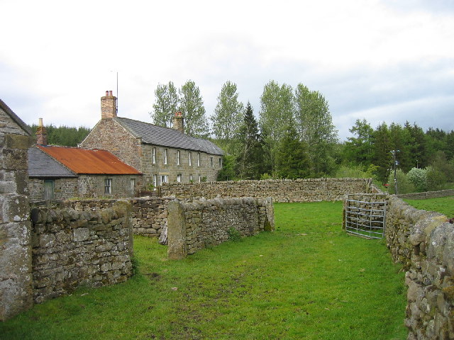
The Bower, Northumberland
- Overview Map Street View The Bower is a farm in Northumberland, within Greystead Civil Parish. Bower is situated by Chirdon Burn in the Tarset Valley. The Bower was first recorded …

from Geograph (geograph)
Confluence of the Chirdon Burn and the River North Tyne
Pinned by Simon Cotterill