Topics > Civil Parishes in Cumbria > Casterton Civil Parish
Casterton Civil Parish
Area: 17.5 km²
Population:
353 (2021 Census)
425 (2011 Census)
500 (2001 Census)
Co-Curate Page
Casterton
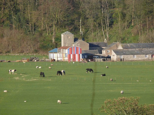
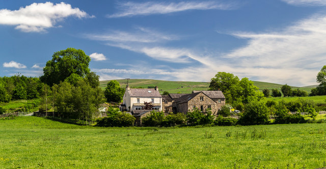
- Overview About Casterton Map Street View Casterton is a village in the South Lakeland district of Cumbria, located by the River Lune and about ¾ mile north-east of Kirkby Lonsdale …
Co-Curate Page
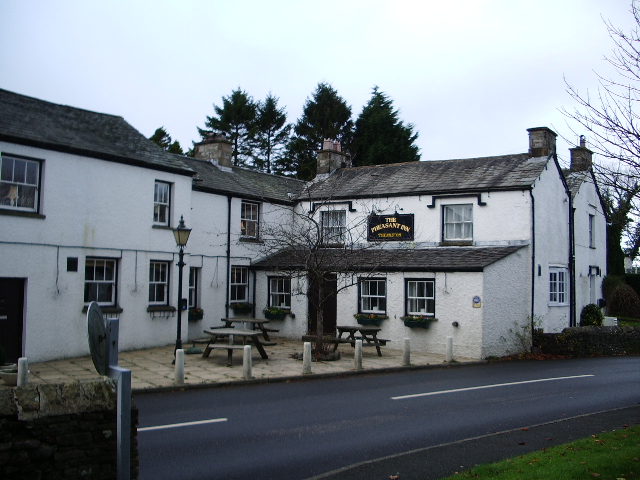
High Casterton
- Overview Map Street View High Casterton is a village in the South Lakeland district of Cumbria, located a short distance south from Casterton (aka Low Casterton) and about ½ mile …

from https://www.cumbriacountyhist…
Casterton
- "Township in Kirkby Lonsdale parish, Lonsdale ward, Westmorland....Landownership:
manor of Casterton was part of Richmond fee of barony of Kendal (q.v.). Leased 1669 to Wilson (later Carus-Wilson) family, who remained …
Added by
Simon Cotterill

Co-Curate Page
Casterton
- Overview About Casterton Map Street View Casterton is a village in the South Lakeland district of Cumbria, located by the River Lune and about ¾ mile north-east of Kirkby Lonsdale …
Co-Curate Page
High Casterton
- Overview Map Street View High Casterton is a village in the South Lakeland district of Cumbria, located a short distance south from Casterton (aka Low Casterton) and about ½ mile …
from https://www.cumbriacountyhist…
Casterton
- "Township in Kirkby Lonsdale parish, Lonsdale ward, Westmorland....Landownership:
manor of Casterton was part of Richmond fee of barony of Kendal (q.v.). Leased 1669 to Wilson (later Carus-Wilson) family, who remained …
Added by
Simon Cotterill