Topics > Newcastle City Centre > Streets > Carliol Street
Carliol Street
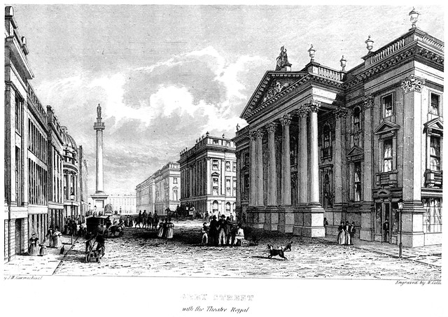
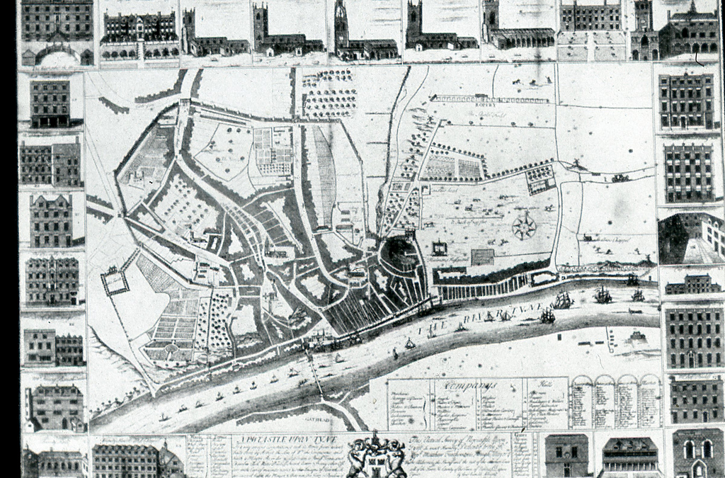
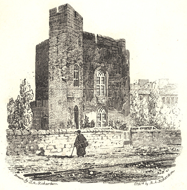
Carliol Street runs from Market Street to Carliol Square and runs on into John Dobson Street in Newcastle. The street takes its name from the 13th Century Carliol Tower, which used to be located near to where Carliol Street meets John Dobson Street.
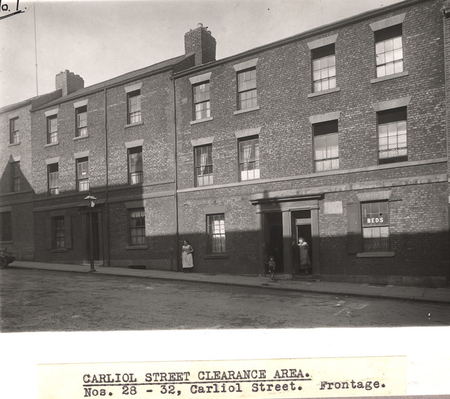
from Newcastle libraries (flickr)
035367:Carliol Street Newcastle upon Tyne Dept of Environmental Health c.1935
Pinned by Simon Cotterill
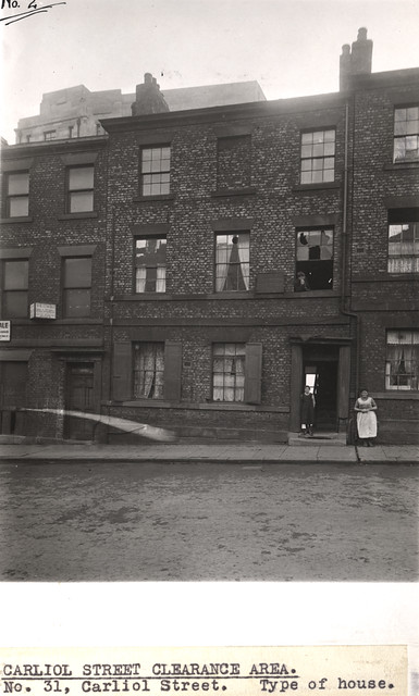
from Newcastle libraries (flickr)
035364:Carliol Street Newcastle upon Tyne Dept of Environmental Health c.1935
Pinned by Simon Cotterill
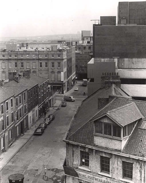
from Newcastle libraries (flickr)
022231:Carliol Street Newcastle upon Tyne Signey J. 1972
Pinned by Simon Cotterill
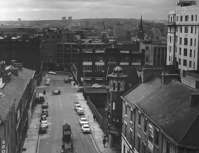
from Newcastle libraries (flickr)
025296:Carliol Street Central Newcastle upon Tyne City Engineers 1967
Pinned by Simon Cotterill
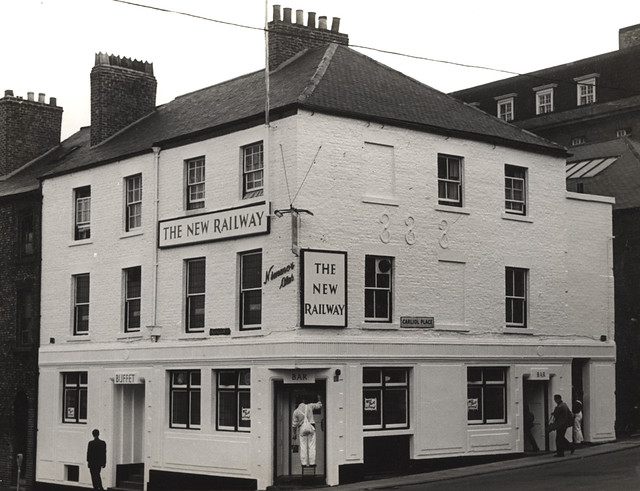
from Newcastle libraries (flickr)
015318:The New Railway Trafalgar Street/Carliol Place 1966
Pinned by Simon Cotterill
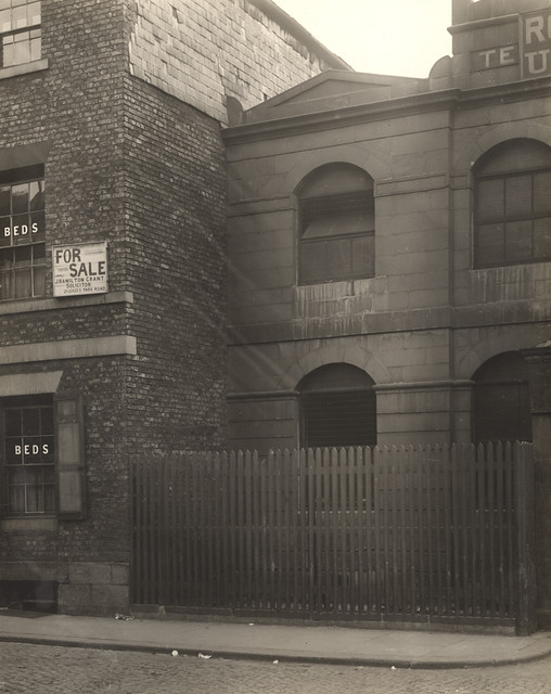
from Newcastle libraries (flickr)
042425:Carliol Street Newcastle upon Tyne Unknown c.1900
Pinned by Simon Cotterill
Co-Curate Page
Carliol Tower
- Carliol Tower was a 2 storey semi-circular tower that was on the north-east section of the Medieval town walls of Newcastle. The upper room was rib-vaulted, and based on cannon …
Co-Curate Page
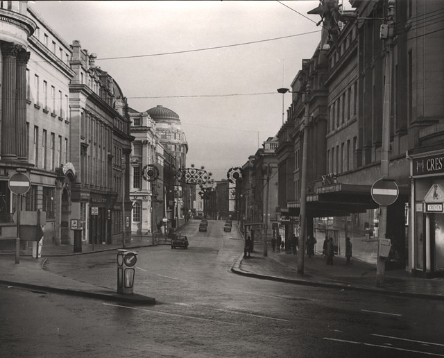
Market Street
- Overview Map Street View Market Street in Newcastle runs from the west of the city centre near the central motorway to Grainger Street and the Grainger Market. Most of the …
Co-Curate Page
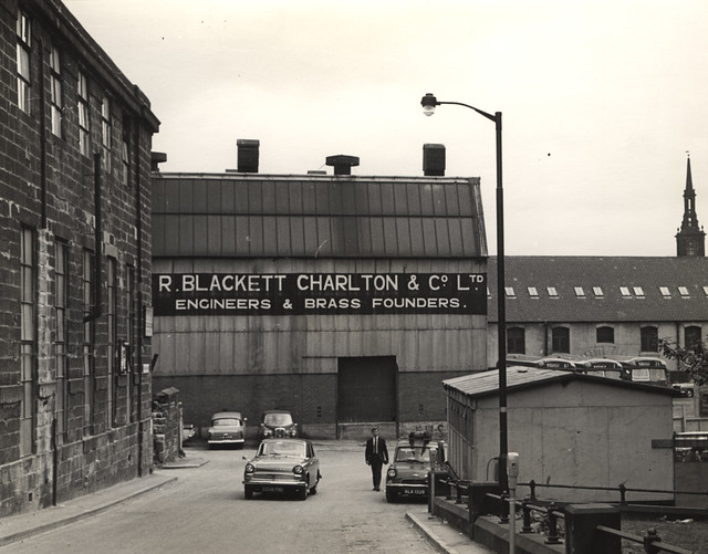
Carliol Square
- Overview Map Street View Carliol Square is located on the east side of Newcastle city centre. The name derives from the Carilol family who once owned land here (the family …
Co-Curate Page
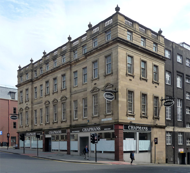
Plummer House, Market Street East, Newcastle
- Overview Map Street View Plummer House is located on Market Street East in Newcastle, siding on Croft Street and Carliol Street. It was originally built as banquet and assembly rooms …


from Newcastle libraries (flickr)
035367:Carliol Street Newcastle upon Tyne Dept of Environmental Health c.1935
Pinned by Simon Cotterill

from Newcastle libraries (flickr)
035364:Carliol Street Newcastle upon Tyne Dept of Environmental Health c.1935
Pinned by Simon Cotterill

from Newcastle libraries (flickr)
022231:Carliol Street Newcastle upon Tyne Signey J. 1972
Pinned by Simon Cotterill

from Newcastle libraries (flickr)
025296:Carliol Street Central Newcastle upon Tyne City Engineers 1967
Pinned by Simon Cotterill

from Newcastle libraries (flickr)
015318:The New Railway Trafalgar Street/Carliol Place 1966
Pinned by Simon Cotterill

from Newcastle libraries (flickr)
042425:Carliol Street Newcastle upon Tyne Unknown c.1900
Pinned by Simon Cotterill

Co-Curate Page
Carliol Tower
- Carliol Tower was a 2 storey semi-circular tower that was on the north-east section of the Medieval town walls of Newcastle. The upper room was rib-vaulted, and based on cannon …

Co-Curate Page
Market Street
- Overview Map Street View Market Street in Newcastle runs from the west of the city centre near the central motorway to Grainger Street and the Grainger Market. Most of the …

Co-Curate Page
Carliol Square
- Overview Map Street View Carliol Square is located on the east side of Newcastle city centre. The name derives from the Carilol family who once owned land here (the family …

Co-Curate Page
Plummer House, Market Street East, Newcastle
- Overview Map Street View Plummer House is located on Market Street East in Newcastle, siding on Croft Street and Carliol Street. It was originally built as banquet and assembly rooms …
Borough: Newcastle
