Topics > Civil Parishes in Cumbria > Burgh by Sands Civil Parish
Burgh by Sands Civil Parish
Area: 23.5 km²
Population:
1,242 (2021 Census)
1,176 (2011 Census)
1,143 (2001 Census)
Co-Curate Page
Longburgh
- Overview Map Street View Longburgh is a village in the City of Carlisle district of Cumbria, located about half a mile west of Burgh by Sands, and just over 5 …
Co-Curate Page
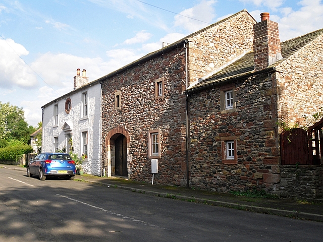
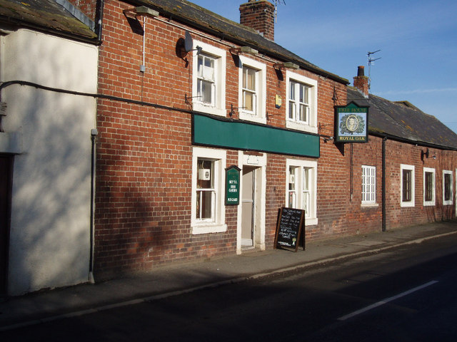
Burgh by Sands
- Overview About Burgh by Sands Map Street View Burgh by Sands is a village in Cumbria, located near the Solway Firth, and about 4 miles north-west of Carlsile. St Michael's …
Co-Curate Page
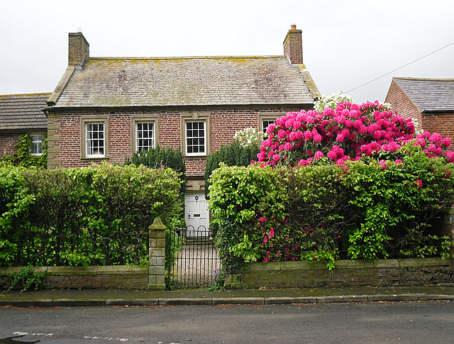
Boustead Hill
- Overview About Boustead Hill Map Street View Boustead Hill is a hamlet situated by the Solway Firth in Cumbria, it stands on high ground around Burgh Marsh. The settlement is …
Co-Curate Page
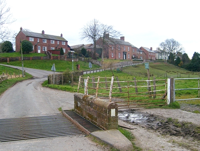
Moorhouse
- Overview About Moorhouse Map Street View Moorhouse is a village in Cumbria, located about 3½ miles west of Carlisle and 1½ miles south of Burgh by Sands. It is a …

Co-Curate Page
Longburgh
- Overview Map Street View Longburgh is a village in the City of Carlisle district of Cumbria, located about half a mile west of Burgh by Sands, and just over 5 …
Co-Curate Page
Burgh by Sands
- Overview About Burgh by Sands Map Street View Burgh by Sands is a village in Cumbria, located near the Solway Firth, and about 4 miles north-west of Carlsile. St Michael's …
Co-Curate Page
Boustead Hill
- Overview About Boustead Hill Map Street View Boustead Hill is a hamlet situated by the Solway Firth in Cumbria, it stands on high ground around Burgh Marsh. The settlement is …


