Topics > Northumberland > Civil Parishes in Northumberland > Brinkburn Civil Parish
Brinkburn Civil Parish
A joint parish council covers the two parishes of Brinkburn and Hesleyhurst. Settlements include: Brinkburn, Embleton Terrace, Healy Cote, Low Hesleyhurst, Pauperhaugh and Weldon Bridge.
Area: 20.8 km²
Population:
219 (2021 Census)
222 (2011 Census)
200 (2001 Census)
from https://northumberlandparishe…
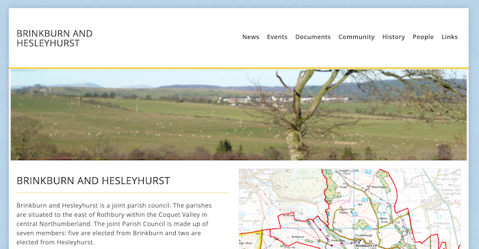
Brinkburn and Hesleyhurst Parish Council
- "....Brinkburn and Hesleyhurst is a joint parish council. The parishes are situated to the east of Rothbury within the Coquet Valley in central Northumberland. The joint Parish Council is made …
Added by
Simon Cotterill

Co-Curate Page
Low Hesleyhurst
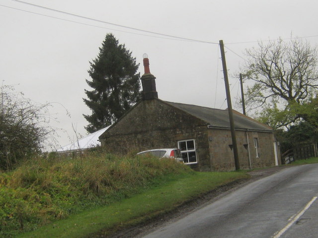
- Overview Map Street View There is no village of Hesleyhurst as such, rather it is a sparcely populated rural area. Embleton Terrace is a row of terrace houses by Low Hesleyhurst.
Co-Curate Page
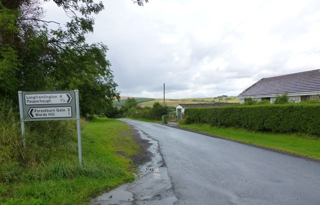
Pauperhaugh
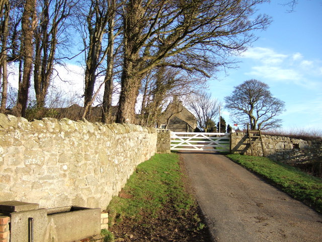
- Overview Map Street View Pauperhaugh is a hamlet by the River Coquet in Northumberland, located about 4 miles south-east of Rothbury. Historically, Pauperhaugh was a township in the ancient parish …
Co-Curate Page
Weldon Bridge
- Overview Map Street View Weldon Bridge is a hamlet situated by the River Coquet in Northumberland; located just off the A697 road between Longhorsley and Longframlington. The stone bridge, which …

from https://keystothepast.info/se…
Local History: Brinkburn and Hesleyhurst
- "The parish of Brinkburn lies in central Northumberland and is divided by the River Coquet. At its western end the parish stretches from just outside the fringes of Rothbury along …
Added by
Simon Cotterill
Co-Curate Page
Healey Cote
- Overview Map Street View Healy Cote is a hamlet in Northumberland, located about 1 mile west of Longframlington and 3 miles south-east of Rothbury. Historically, Healy Cote was part of …
Co-Curate Page
Healey (Rothbury)
- Overview Map Street View Healey is a farmstead in Northumberland, located about 2 miles west of Longframlington and 2 miles south-east of Rothbury. Healey is though to be the site …
Co-Curate Page
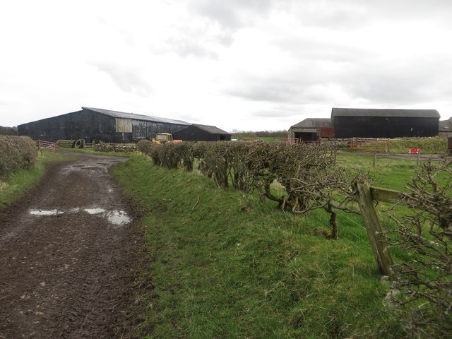
Raw, Northumberland
- Overview Map (West Raw) Map (East Raw) Street View West Raw Farm is located by the River Coquet, about 2½ miles south-east of Rothbury in Northumberland. The hamlet of East Raw …
Co-Curate Page
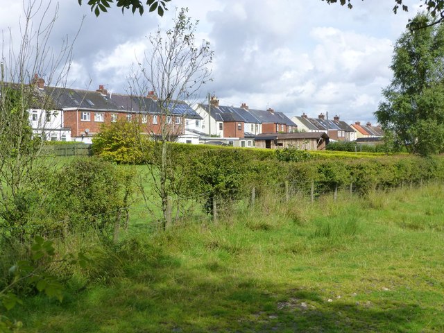
Embleton Terrace, Northumberland
- Overview Map Street View Embleton Terrace is a hamlet in Northumberland, located about 10 miles north-west of Morpeth and 3 miles south-east of Rothbury. It is likely the terrace was …

from https://northumberlandparishe…
Brinkburn and Hesleyhurst Parish Council
- "....Brinkburn and Hesleyhurst is a joint parish council. The parishes are situated to the east of Rothbury within the Coquet Valley in central Northumberland. The joint Parish Council is made …
Added by
Simon Cotterill
Co-Curate Page
Low Hesleyhurst
- Overview Map Street View There is no village of Hesleyhurst as such, rather it is a sparcely populated rural area. Embleton Terrace is a row of terrace houses by Low Hesleyhurst.
Co-Curate Page
Pauperhaugh
- Overview Map Street View Pauperhaugh is a hamlet by the River Coquet in Northumberland, located about 4 miles south-east of Rothbury. Historically, Pauperhaugh was a township in the ancient parish …
Co-Curate Page
Weldon Bridge
- Overview Map Street View Weldon Bridge is a hamlet situated by the River Coquet in Northumberland; located just off the A697 road between Longhorsley and Longframlington. The stone bridge, which …
from https://keystothepast.info/se…
Local History: Brinkburn and Hesleyhurst
- "The parish of Brinkburn lies in central Northumberland and is divided by the River Coquet. At its western end the parish stretches from just outside the fringes of Rothbury along …
Added by
Simon Cotterill
Co-Curate Page
Healey Cote
- Overview Map Street View Healy Cote is a hamlet in Northumberland, located about 1 mile west of Longframlington and 3 miles south-east of Rothbury. Historically, Healy Cote was part of …
Co-Curate Page
Healey (Rothbury)
- Overview Map Street View Healey is a farmstead in Northumberland, located about 2 miles west of Longframlington and 2 miles south-east of Rothbury. Healey is though to be the site …
Co-Curate Page
Raw, Northumberland
- Overview Map (West Raw) Map (East Raw) Street View West Raw Farm is located by the River Coquet, about 2½ miles south-east of Rothbury in Northumberland. The hamlet of East Raw …


