Topics > Northumberland > Briery Hill
Briery Hill
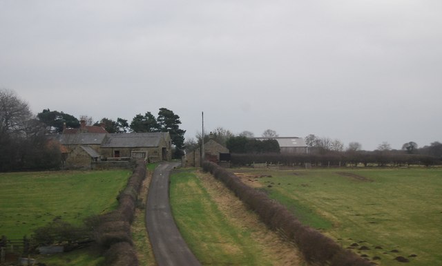
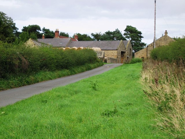
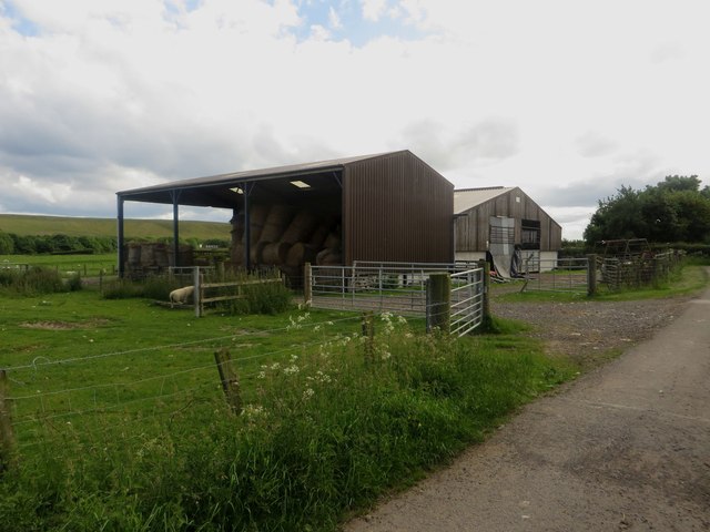
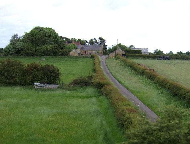
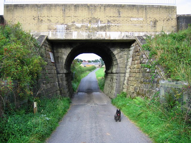
Briery Hill Farm is located off Briery Hill Lane, about ¾ mile east of the village of Stannington. The farm has an early 19th century Gin gang, which is Grade II listed on the National Heritage List for England. To the south of the farm, towards Stannington Vale, there were small scale coal workings in the 18th or 19th century. There is a railway bridge to the west of the farm. Briery Hill is part of Stannington Civil Parish.

from https://historicengland.org.u…
GIN GANG ON WEST SIDE OF BARN TO SOUTH WEST OF BRIERY HILL FARMHOUSE - Stannington - List Entry
- "Gin gang, early C19. Tooled stone with pantile roof. Octagonal plan with 7 square piers, those at centre on north and south larger and multi-stepped; later boarded infill with part-slatted …
Added by
Simon Cotterill

from https://keystothepast.info/se…
Coal workings Briery Hill (Stannington)
- A small group of earthworks that are likely to be the remains of post medieval coal working are visible as earthworks on lidar imagery. These comprise a mine shaft and …
Added by
Simon Cotterill


from https://historicengland.org.u…
GIN GANG ON WEST SIDE OF BARN TO SOUTH WEST OF BRIERY HILL FARMHOUSE - Stannington - List Entry
- "Gin gang, early C19. Tooled stone with pantile roof. Octagonal plan with 7 square piers, those at centre on north and south larger and multi-stepped; later boarded infill with part-slatted …
Added by
Simon Cotterill

from https://keystothepast.info/se…
Coal workings Briery Hill (Stannington)
- A small group of earthworks that are likely to be the remains of post medieval coal working are visible as earthworks on lidar imagery. These comprise a mine shaft and …
Added by
Simon Cotterill
