Topics > Civil Parishes in Cumbria > Boltons Civil Parish (Allerdale)
Boltons Civil Parish (Allerdale)
Area: 34.2 km²
Population:
608 (2021 Census)
629 (2011 Census)
585 (2001 Census)
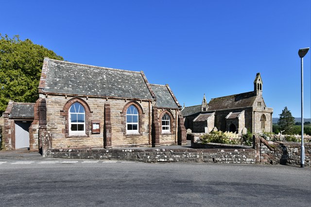
Co-Curate Page
Boltongate
- Overview About Boltongate Map Street View Boltongate is a village in Cumbria, England. It is situated about 10 miles (16 km) north-east of Cockermouth. It is located just outside …
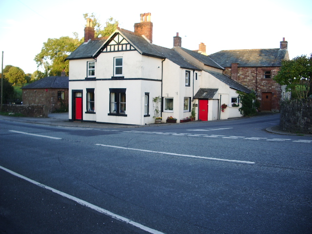
Co-Curate Page
Mealsgate
- Overview About Mealsgate Map Street View Mealsgate is a village in the Allerdale district of Cumbria, located about 5 miles south-west of Wigton and 9 miles north-west of Cockermouth. Mealsgate …

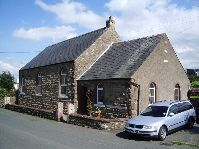
Co-Curate Page
Boltongate
- Overview About Boltongate Map Street View Boltongate is a village in Cumbria, England. It is situated about 10 miles (16 km) north-east of Cockermouth. It is located just outside …


