Topics > Geography > Rivers > River South Tyne > Black Burn (tributary of the River South Tyne)
Black Burn (tributary of the River South Tyne)
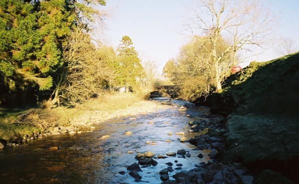
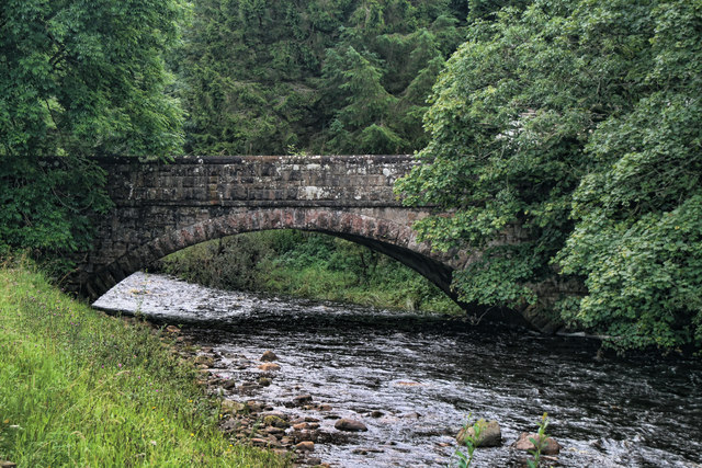
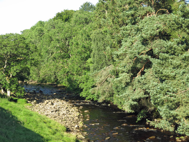
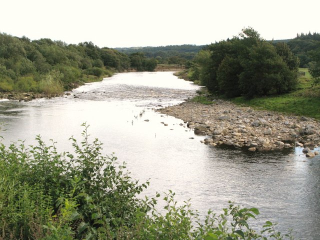
The Black Burn is a river in Cumbria, which is a tributary of the River South Tyne. The burn flows in a roughly north-easterly direction and joins the South Tyne near Leadgate, where it is crossed by Blackburn Bridge, to the south of Alston. The river is about 12 miles long, with a catchment area of 36 km2.
Co-Curate Page
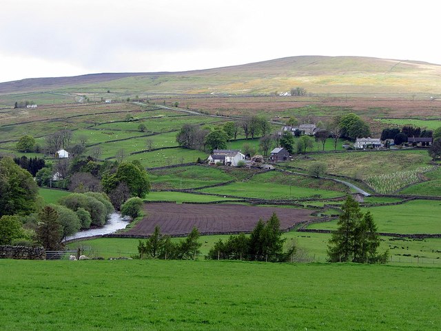
Leadgate
- Overview About Leadgate Map Street View Leadgate is a hamlet in the Eden sistrict of Cumbria, located about 2 miles south of Alston and 3 miles north-west of Garrigill. Leadgate …

from https://environment.data.gov.…
Black Burn from Aglionby Beck - South Tyne
Added by
Simon Cotterill

from https://environment.data.gov.…
Black Burn from Source to Aglionby Beck
Added by
Simon Cotterill
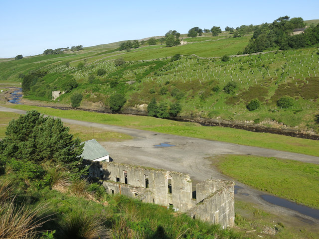
from Geograph (geograph)
The remains of Rotherhope Fell Mine by Black Burn
Pinned by Simon Cotterill
Co-Curate Page
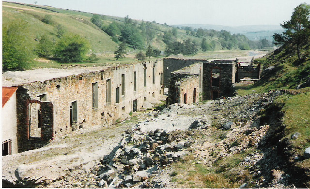
Rotherhope Fell Mine
- Overview Map (area 1) Map (area 2) "...The monument, which is divided into two areas, is situated on the north east side of Rotherhope Fell above Black Burn. It includes …


Co-Curate Page
Leadgate
- Overview About Leadgate Map Street View Leadgate is a hamlet in the Eden sistrict of Cumbria, located about 2 miles south of Alston and 3 miles north-west of Garrigill. Leadgate …

from https://environment.data.gov.…
Black Burn from Aglionby Beck - South Tyne
Added by
Simon Cotterill

from https://environment.data.gov.…
Black Burn from Source to Aglionby Beck
Added by
Simon Cotterill

from Geograph (geograph)
The remains of Rotherhope Fell Mine by Black Burn
Pinned by Simon Cotterill

