Topics > Northumberland > Rochester > Birdhopecraig
Birdhopecraig
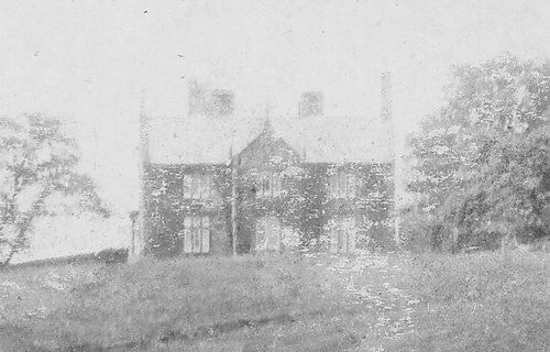
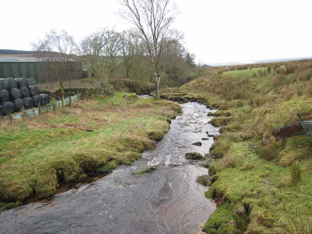
Birdhopecraig (aka Birdhope Craig, or Burnhopecrag) in Redesdale is a former estate which included Birdhopecraig Hall, first recorded in 1584. The Hall was badly damaged by fire in August 1957 and demolished in 1963.[1] Burdhopecrag Farm is located by the A68, about 1 mile north-west of the village of Rochester. The former Birdhope Craig Church is on the western edge of Rochester village. It dates from 1824 and replaced an earlier chapel, which had been located forther north, near the Hall. Birdhope Craig Church is located by the west banks of Sills Burn, close to it's confluence with the River Rede. Birdhope Craig was listed as a hamlet under Rochester township, Elsdon parish, in Whellan's 1855 directory of Northumberland. Today, Birdhopecraig is part of Rochester with Byreness Civil Parish.
Note: Birdhope (presumably a separate entity) is listed in the 1860 Northumberland Farms Index under Troughend township. The index also includes Birdhopecrag Hall under Rochester township. Both under the ancient parish of Elsdon.
Co-Curate Page
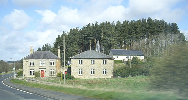
Former Birdhopecraig Church, Rochester
- Overview Map Street View The former Birdhopecraig Church, now converted into a holiday home, is located at the northern edge of the village of Rochester in Northumberland. It was built …

Co-Curate Page
Old Milestone South of Birdhopecraig Church, Rochester
- There is an old Milestone by the A68, located to the south of the former Birdhopecraig Church in Rochester, Northumberland. The milestone was erected by the Elsdon and Rudwater Turnpike …


Co-Curate Page
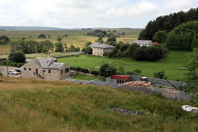
Burdhopecrag
- Overview Map Street View Burdhopecrag is a farm located by the A68, about 1 mile north-west of the village of Rochester. It is situated by the junction of the A68 …

Co-Curate Page
Former Birdhopecraig Church, Rochester
- Overview Map Street View The former Birdhopecraig Church, now converted into a holiday home, is located at the northern edge of the village of Rochester in Northumberland. It was built …
Co-Curate Page
Old Milestone South of Birdhopecraig Church, Rochester
- There is an old Milestone by the A68, located to the south of the former Birdhopecraig Church in Rochester, Northumberland. The milestone was erected by the Elsdon and Rudwater Turnpike …

")

