Topics > Transport and Travel > Road > B6318 Military Road
B6318 Military Road
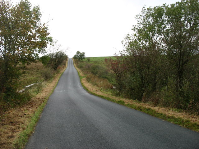
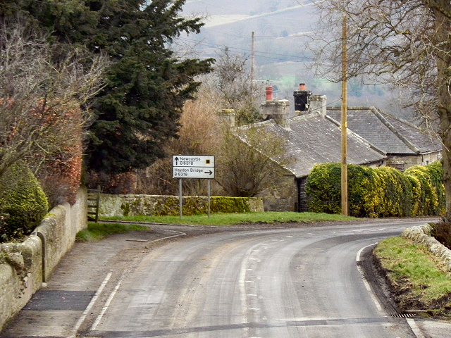
The B6318 Military Road is known for it's long straight stretches of road, many of which follow the course of Hadrian's Wall. The road was commissioned as a response to the Jacobite Rising of 1745, after General George Wade's forces were delayed by poor road conditions between Newcastle and Carlisle, taking nearly a week to make the journey in 1746.
The route was surveyed in 1749 and construction of the Military Road started in 1751 and was finished in 1757. The road cost over £22,000 (about £6million in 2026). Whilst it was built by the military, the road was to become maintained and managed by the newly formed Newcastle upon Tyne to Carlisle Turnpike Trust. The section of the road from Heddon-on-the-Wall to Greenhead often utilized the direct, straight foundations of Hadrian’s Wall, leading to the destruction of significant portions of the Roman structure. The more challenging topography west of Sewingshields made it necessary for the Military Road to diverge from the Wall, accounting for the remains of Hadrian's Wall which survive today. The modern B6318 is one of Britain's longest B-roads, about 61 miles long. Many of the old milestones from the old turnpike route can stll be seen by the roadside.


Co-Curate Page
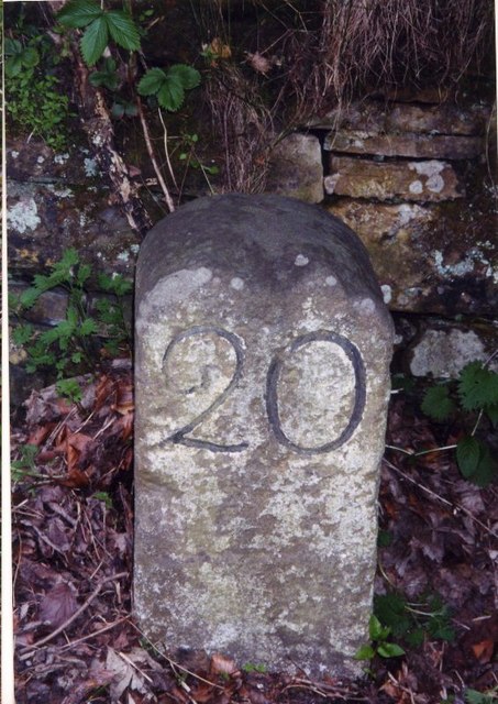
Old Milestone B6318, near Milecastle 24
- There is an old Milestone by the B6318 Military Road, near Milecastle 24 of Hadrian's Wall. It indicates 18 mile to Newcastle. The Military Road was built by the Newcastle …

Co-Curate Page
Milestone East of St Oswalds Hill Head Farm
- Milestone on B6318, East of St Oswalds Hill Head Farm


from Geograph (geograph)
Realignment of the Military Road east of Port Gate roundabout
Pinned by Simon Cotterill


from Geograph (geograph)
B6318, Road junction near the Old Repeater Station
Pinned by Simon Cotterill

Co-Curate Page
Halton Red House
- Overview Map Street View Halton Red House is a farm in Northumberland, located about 2½ miles NNE of Corbridge. It is situated by the B6318 Military Road, which overlays the …

Co-Curate Page
Old Milestone B6318, near Milecastle 24
- There is an old Milestone by the B6318 Military Road, near Milecastle 24 of Hadrian's Wall. It indicates 18 mile to Newcastle. The Military Road was built by the Newcastle …
Co-Curate Page
Milestone East of St Oswalds Hill Head Farm
- Milestone on B6318, East of St Oswalds Hill Head Farm
from Geograph (geograph)
Realignment of the Military Road east of Port Gate roundabout
Pinned by Simon Cotterill
from Geograph (geograph)
B6318, Road junction near the Old Repeater Station
Pinned by Simon Cotterill