Topics > Northumberland > Heddon-on-the-Wall
Heddon-on-the-Wall
Heddon-on-the-Wall is a village in Northumberland, England, located on Hadrian's Wall. Heddon-on-the-Wall is roughly 9 miles west of the centre of Newcastle upon Tyne, and just outside Throckley. The place-name 'Heddon' means 'hill where heather grew'.
Etymology
Heddon seems in origin to be an Old English name, deriving from the personal name Hidda + *winn 'pasture', thus 'Hidda's pasture'.
History
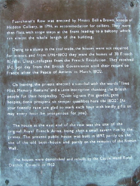
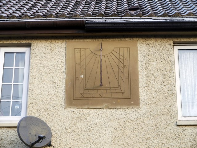
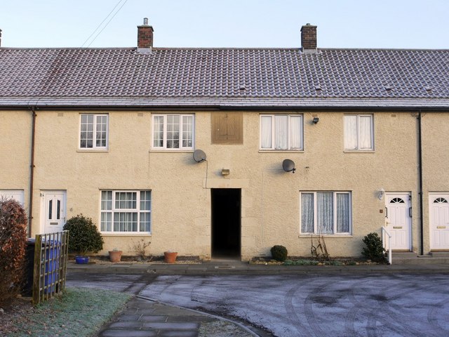
A Roman milecastle ('Milecastle 12') was located at the site of the present-day village, under what is now Town Farm, but no traces of it are currently visible. Prior to the 1960s, Heddon-on-the-Wall was a small village with an economy based strongly on traditional industry including farming and coal mining.
Large-scale coal mining close to the village began in the late 1950s with the opening of the Bays Leap, a opencast mine site located a short distance north of Heddon-on-the-Wall. The site supported seven coal seams at its peak, and evidence was found of earlier mine shafts. Bays Leap closed in 1966. Urban development west of Newcastle saw the village expand substantially during the 1960s.
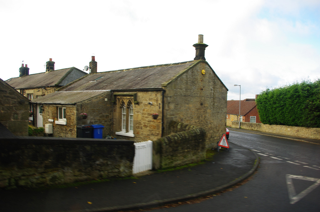
Heddon-on-the-Wall grew up around Hexham Road, which until 1973 was the main road from Newcastle to Hexham. The new A69 road bypasses Heddon-on-the-Wall en route from Newcastle to Carlisle, also passing Hexham. Heddon-on-the-Wall benefits from its proximity to the A69 but is more popular with retired people rather than commuters due to its lack of a railway station, from which its close neighbour Wylam benefits. A railway station on the Scotswood, Newburn & Wylam Railway was opened in the village in 1881, but closed in 1958.
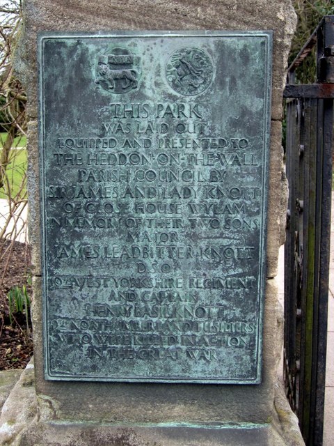
Heddon-on-the-Wall came to prominence when it was revealed in February 2001 that the 2001 outbreak of Foot-and-mouth disease originated from a farm in the village. This severely affected Heddon-on-the-Wall's primary industry which is agriculture. Over the years however other industries have existed in Heddon-on-the-Wall. These include salmon fishing in the River Tyne, coal mining, the quarrying of sandstone and limestone, and brick making. A number of blacksmiths were in the village until recent times. In the seventies there was a perfumery manufacturing business and recently a brewery.
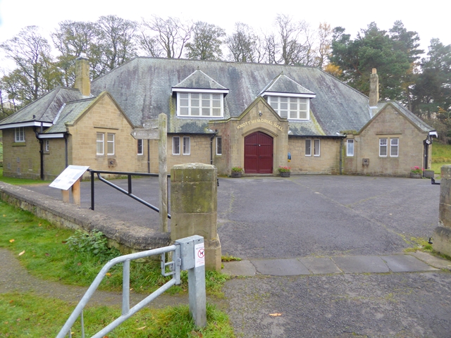
Culture and facilities
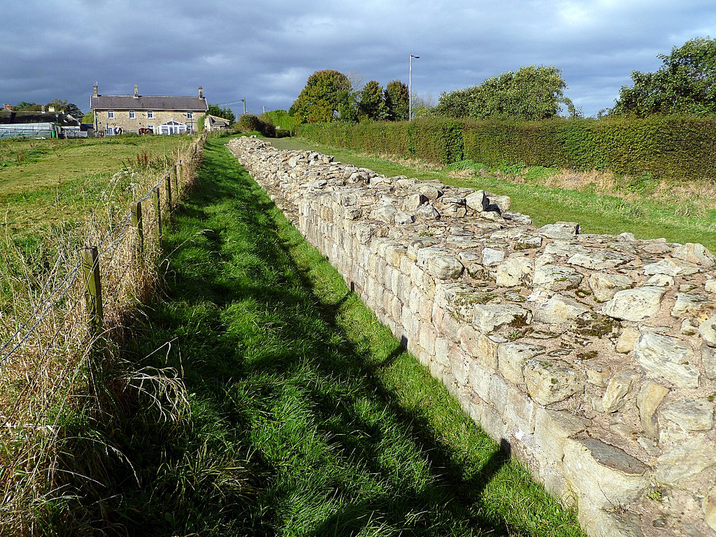
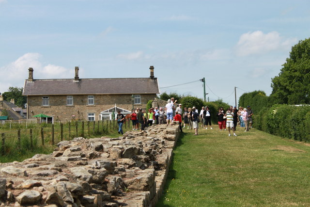
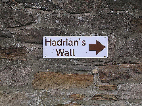
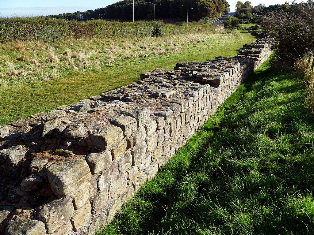
Heddon-on-the-Wall attracts tourists passing through on tours of Hadrian’s Wall. Heddon-on-the-Wall is located on the Hadrian's Wall Path, and contains the longest section of unbroken wall at its original and planned width, now known as Broad Wall. Later sections were not built to the full width to save time and money.
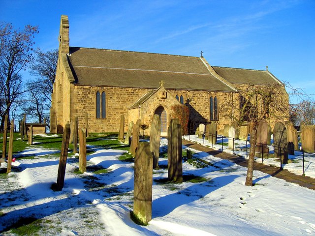
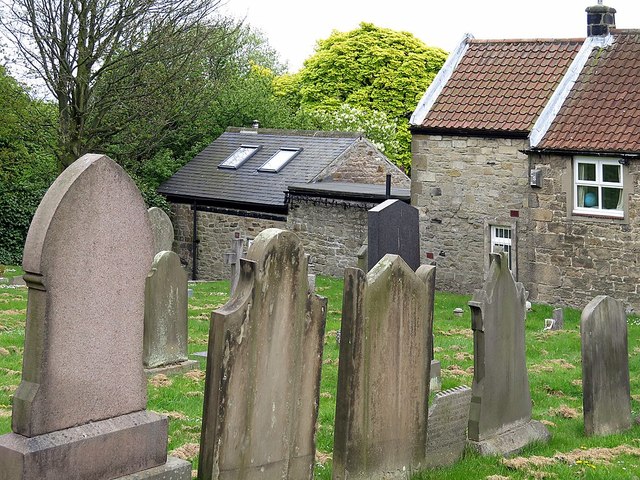
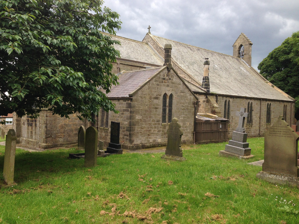
St Andrew's Church is located opposite the Swan Inn and parts of it are Saxon dating back to 680 AD. It was originally consecrated in 630AD. The oldest parts of St Andrew's are still visible in some of the walls of the chancel behind the choir stalls. The original stone structure was built using recycled stone from Hadrian’s Wall. Before St Andrew's church was built it is believed that the site was used for pagan ceremonies, so the hilltop location may always have been of religious significance.
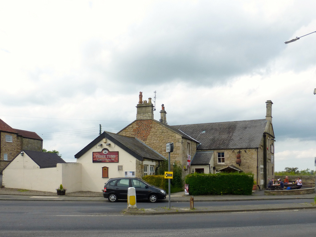
Heddon-on-the-Wall has two public houses, The Three Tuns and The Swan Inn.
You can cycle up to Heddon on the Wall from the National Cycle Route running along the river. There is a route through a farmyard about 1/4 mile west of Blayney Row as you have to slow down to go through 2 sties/gates. Pedal through the farmyard and prepare to attempt Station Bank. It's a gruelling straight climb up the side of the Tyne Valley to Heddon on the Wall. Beautiful views as you approach the top.
Visit the page: Heddon-on-the-Wall for references and further details. You can contribute to this article on Wikipedia.

from http://www.english-heritage.o…
Hadrian's Wall at Heddon-on-the-Wall
- Iformation and history from English Heritage
Added by
Simon Cotterill
Co-Curate Page
Hadrian's Wall at Heddon-on-the-Wall
- A consolidated stretch of Wall, up to 2 metres (61⁄2 feet) thick in places. "Stretches of Hadrian’s Wall 220 metres long and of the Wall-ditch to its north are visible …
from http://heddonhistory.weebly.c…
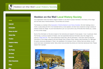
Heddon on the Wall Local History Society
- "Heddon on the Wall Local History Society
is an organisation within the historic village of Heddon on the Wall for people interested in the history of the village and the …
Added by
Simon Cotterill
from IllustratedChronicles (flickr)
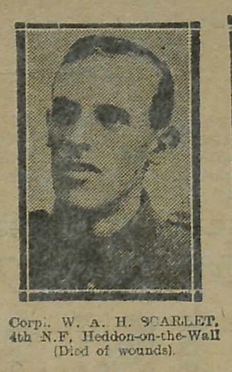
Scarlet, W A H - 4th N.F - Heddon-on-the-Wall - Died of wounds
Pinned by Simon Cotterill
Co-Curate Page
Houghton
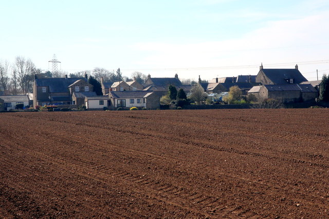
- Overview Map Street View Houghton is a hamlet in Northumberland, located a short distance west of Heddon on the Wall. The settlement includes two farms, the Houghton Country equestrian centre and …
from IllustratedChronicles (flickr)
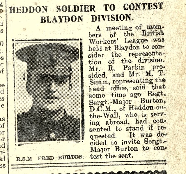
Reg.Sergt.Major F. BURTON D.C.M., Heddon-on-the-Wall, (Standing for office).
Pinned by Simon Cotterill
from IllustratedChronicles (flickr)
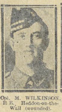
m. Wilkinson - RE - Heddon on the Wall - Wounded
Pinned by Simon Cotterill

Co-Curate Page
Historic Buildings and Monuments in Heddon-on-the-Wall CP
- Listed buildings and scheduled monuments in Heddon-on-the-Wall, Northumberland, from the National Heritage List for England[1]. Use the Search (below) if looking for a specific building / monument. Structure List No. …

from http://www.english-heritage.o…
Hadrian's Wall at Heddon-on-the-Wall
- Iformation and history from English Heritage
Added by
Simon Cotterill
Co-Curate Page
Hadrian's Wall at Heddon-on-the-Wall
- A consolidated stretch of Wall, up to 2 metres (61⁄2 feet) thick in places. "Stretches of Hadrian’s Wall 220 metres long and of the Wall-ditch to its north are visible …
from http://heddonhistory.weebly.c…
Heddon on the Wall Local History Society
- "Heddon on the Wall Local History Society
is an organisation within the historic village of Heddon on the Wall for people interested in the history of the village and the …
Added by
Simon Cotterill
from IllustratedChronicles (flickr)
Scarlet, W A H - 4th N.F - Heddon-on-the-Wall - Died of wounds
Pinned by Simon Cotterill
Co-Curate Page
Houghton
- Overview Map Street View Houghton is a hamlet in Northumberland, located a short distance west of Heddon on the Wall. The settlement includes two farms, the Houghton Country equestrian centre and …
from IllustratedChronicles (flickr)
Reg.Sergt.Major F. BURTON D.C.M., Heddon-on-the-Wall, (Standing for office).
Pinned by Simon Cotterill
from IllustratedChronicles (flickr)
m. Wilkinson - RE - Heddon on the Wall - Wounded
Pinned by Simon Cotterill