Topics > Historical Periods > 19th Century > 1860s > 1866
1866
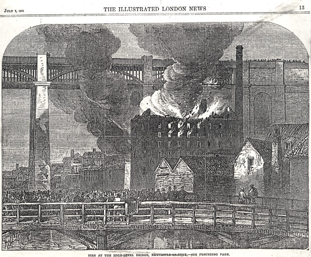
from Newcastle libraries (flickr)
043532:High Level Bridge Newcastle upon Tyne Unknown artist 1866
Pinned by Simon Cotterill
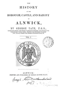
from http://books.google.co.uk/boo…
The history of the borough, castle, and barony of Alnwick, Volume 1. George Tate, 1866
- Free eBook digitised by Google
Added by
Simon Cotterill
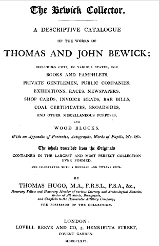
from http://books.google.co.uk/boo…
The Bewick collector: A descriptive catalogue of the works of Thomas and John Bewick; by Thomas Hugo, 1866
- including cuts, in various states, for books and pamphlets, private gentlemen, public companies, exhibitions, races, newspapers, shop cards, invoice heads, bar bills, coal certificates, broadsides, and other miscellaneous purposes, and …
Added by
Simon Cotterill

from https://commons.wikimedia.org…
Isometric View of Alnwick Castle, 1866
- From the book The history of the borough, castle, and barony of Alnwick (1866), by George Tate
Added by
Lucy (Year 4)
from http://www.searlecanada.org/s…
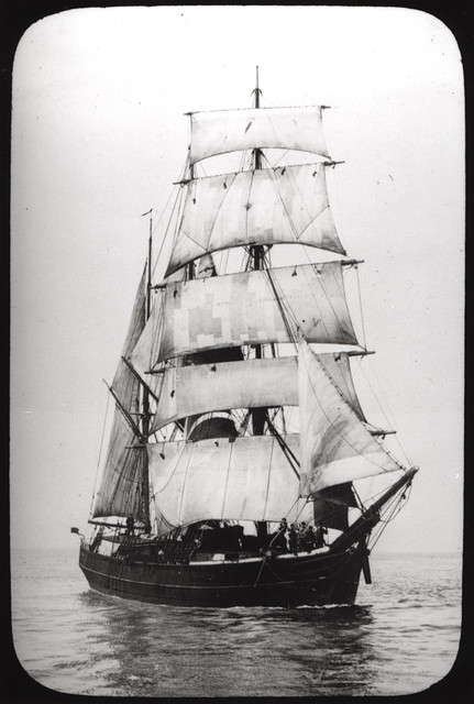
TENTERDEN Shipwreck
- The ship that crashed in 1866!
Added by
Lucy (Year 4)
Co-Curate Page
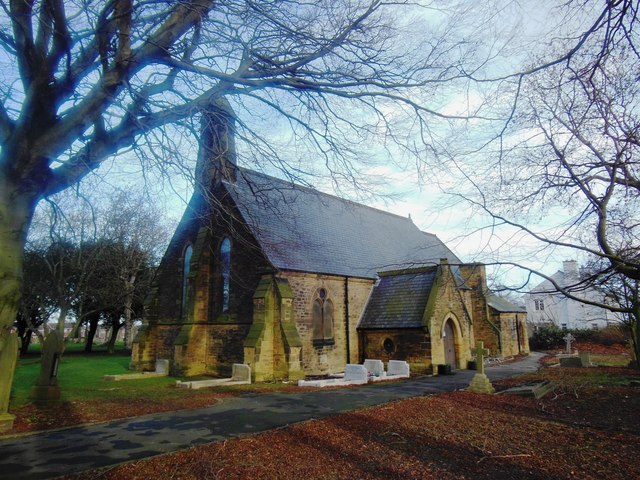
Christ Church
- Overview Map Street View Christ Church, on Carlisle Street in Felling, was built in 1866 by Austin and Johnson. The north aisle and vestry was added in 1903 by J. …
Co-Curate Page
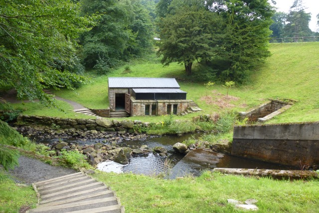
Pumphouse by Tumbleton Dam
- The hydraulic ram pumped water up to a reservoir above Cragside House, which provided its domestic water supply and powered the main lift and turbines operating kitchen and laundry equipment.[1]
Co-Curate Page
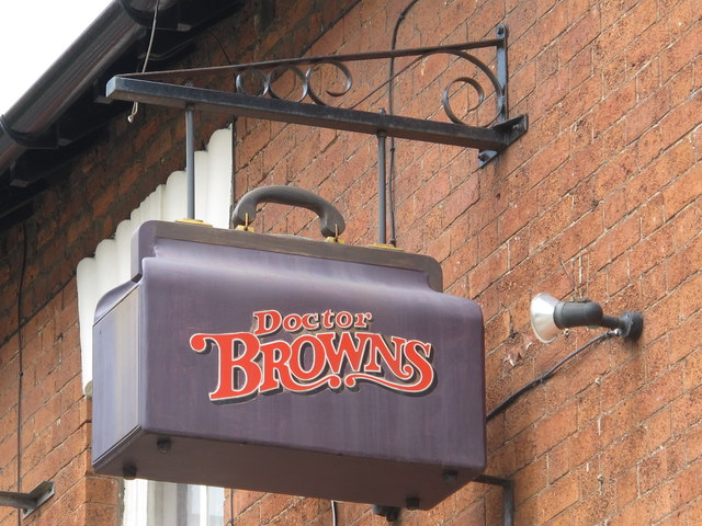
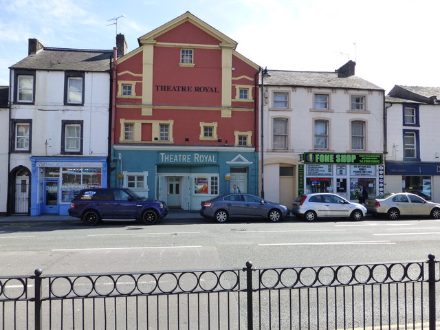
Dr Brown's, Corporation Road
- Overview Map Street View Doctor Brown's pub is located on the junction of Corporation Road and Marton Road in the centre of Middlesbrough. The triangular building was originally built as …
Co-Curate Page
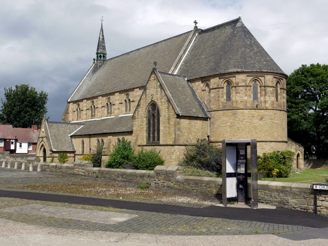
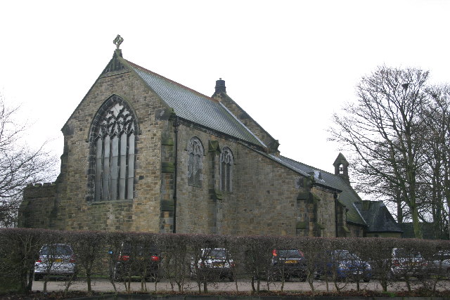
Church of St John, Whorlton, Westerhope
- Overview Map Street View The Church of St John in Whorlton, Westerhope was originally built in 1866 as a Chapel of Ease to Newburn. In c.1911 the east end of …
Co-Curate Page
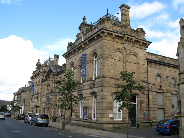
Queen's Hall, Hexham
- Overview Map Street View The Queens Hall and Town Hall Buildings on Beaumont Street in Hexham were built in 1866. Today the building hosts the Queen's Hall Arts Centre, Library …
Co-Curate Page
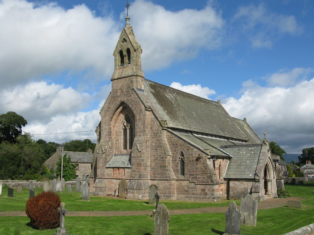
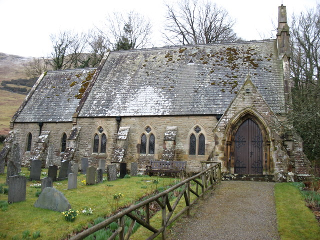
Church of St Margaret, Wythop
- Overview Map Street View Inside St Margaret's is the parish church of Wythop, located in a dramatic setting on the side of Sale Fell, about ½ mile west of Routenbeck. …
Co-Curate Page
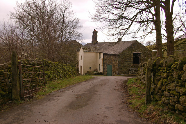
Barn adjoining Stoneraise Farmhouse
- Overview Map Street View This large barn, built of coursed Skiddaw slate, is located to the south-west of Stoneraise farmhouse, near Threlkeld. The barn is dated and inscribed "F.M.C.1866." over …
Co-Curate Page
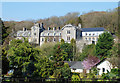
Grange Hotel, Grange-over-Sands
- Overview Map The Grange Hotel is located off Station Square in Grange-over-Sands. It was originally built as a railway hotel and stands to the north of the Railway Station. The …

from Newcastle libraries (flickr)
043532:High Level Bridge Newcastle upon Tyne Unknown artist 1866
Pinned by Simon Cotterill
from http://books.google.co.uk/boo…
The history of the borough, castle, and barony of Alnwick, Volume 1. George Tate, 1866
- Free eBook digitised by Google
Added by
Simon Cotterill
from http://books.google.co.uk/boo…
The Bewick collector: A descriptive catalogue of the works of Thomas and John Bewick; by Thomas Hugo, 1866
- including cuts, in various states, for books and pamphlets, private gentlemen, public companies, exhibitions, races, newspapers, shop cards, invoice heads, bar bills, coal certificates, broadsides, and other miscellaneous purposes, and …
Added by
Simon Cotterill
from https://commons.wikimedia.org…
Isometric View of Alnwick Castle, 1866
- From the book The history of the borough, castle, and barony of Alnwick (1866), by George Tate
Added by
Lucy (Year 4)
from http://www.searlecanada.org/s…
TENTERDEN Shipwreck
- The ship that crashed in 1866!
Added by
Lucy (Year 4)
Co-Curate Page
Christ Church
- Overview Map Street View Christ Church, on Carlisle Street in Felling, was built in 1866 by Austin and Johnson. The north aisle and vestry was added in 1903 by J. …
Co-Curate Page
Pumphouse by Tumbleton Dam
- The hydraulic ram pumped water up to a reservoir above Cragside House, which provided its domestic water supply and powered the main lift and turbines operating kitchen and laundry equipment.[1]
Co-Curate Page
Dr Brown's, Corporation Road
- Overview Map Street View Doctor Brown's pub is located on the junction of Corporation Road and Marton Road in the centre of Middlesbrough. The triangular building was originally built as …
Co-Curate Page
Church of St John, Whorlton, Westerhope
- Overview Map Street View The Church of St John in Whorlton, Westerhope was originally built in 1866 as a Chapel of Ease to Newburn. In c.1911 the east end of …
Co-Curate Page
Queen's Hall, Hexham
- Overview Map Street View The Queens Hall and Town Hall Buildings on Beaumont Street in Hexham were built in 1866. Today the building hosts the Queen's Hall Arts Centre, Library …
Co-Curate Page
Church of St Margaret, Wythop
- Overview Map Street View Inside St Margaret's is the parish church of Wythop, located in a dramatic setting on the side of Sale Fell, about ½ mile west of Routenbeck. …
Co-Curate Page
Barn adjoining Stoneraise Farmhouse
- Overview Map Street View This large barn, built of coursed Skiddaw slate, is located to the south-west of Stoneraise farmhouse, near Threlkeld. The barn is dated and inscribed "F.M.C.1866." over …

