Topics > Geography > Rivers > River Skerne > Woodham Burn
Woodham Burn
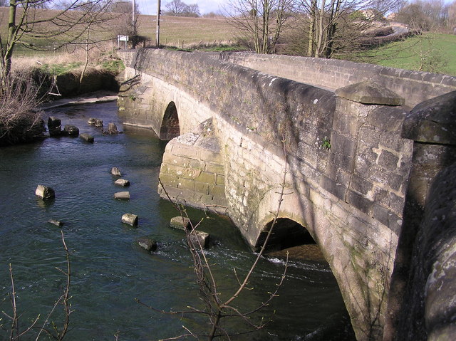
Woodham Burn is a tributary of the River Skerne. It flows in a north-easterly direction through Newton Aycliffe in including Woodham Village, after which it is joined by Rushyford Beck, and changes to a south-early direction before joining the Skerne. Woodham Burn has a catchment area of about 35.2 km2, and is 18km long[1] (including Red House Beck). The valley of Woodouse Burn, cutting through Newton Aycliffe, is an important wildlife habitat, including a range of grassland, woodland and scrub. Much of the burn is managed by Great Aycliffe Town Council, however, some streches around Stephenson Way are managed by Durham County Council.


from https://environment.data.gov.…
Woodham Burn from Source to Rushyford beck
Added by
Simon Cotterill
from /catchment-planning/WaterBody/GB103025072370
Woodham Burn from Rushyford Beck to the Skerne
Added by
Simon Cotterill

Co-Curate Page
Woodham
- Woodham is an area of Newton Aycliffe, once a separate settlement before the building and growth of the new town. Extract from: A Topographical Dictionary of England comprising the several …
Co-Curate Page
Newton Aycliffe
- Overview About Newton Aycliffe Map Street View Newton Aycliffe is a town located about 5 miles north of Darlington in County Durham. It was established as New Town Aycliffe on 19th …

from https://environment.data.gov.…
Woodham Burn from Source to Rushyford beck
Added by
Simon Cotterill
from /catchment-planning/WaterBody/GB103025072370
Woodham Burn from Rushyford Beck to the Skerne
Added by
Simon Cotterill
Co-Curate Page
Woodham
- Woodham is an area of Newton Aycliffe, once a separate settlement before the building and growth of the new town. Extract from: A Topographical Dictionary of England comprising the several …