Topics > Tyne and Wear > North Tyneside > North Shields > Whitehill Point
Whitehill Point
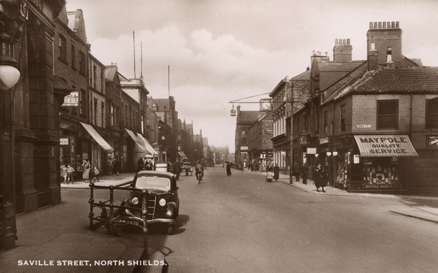
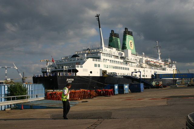
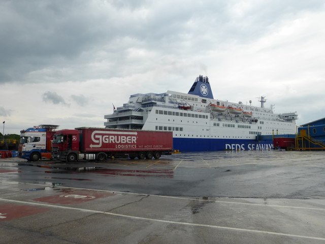
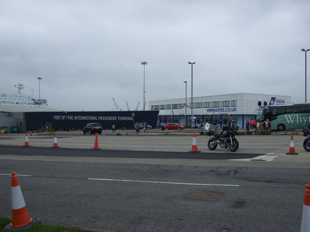
Whitehill Point, on the north banks of the River Tyne, was once a separate hamlet, which was later subsumed into the growing town of North Shields. There were staiths here for loading coal on to ships, brought here on the Backworth Waggonway. There were also salt making and an iron works here. The Whitehill Point Ferry was established in 1856, starting with a ferry called 'Favourite', with a landing across the river in West Holborn. Whitehill Point is now owned by the Port of Tyne, it is a 10 hectare site located less than 3km from open sea, and includes the 105m long Whitehill Point Quay, immediately west of Albert Edward Dock and Marina.
WHITEHILL-POINT, a hamlet, in the township of Chirton, parish, borough, and union of Tynemouth, E. division of Castle ward, S. division of Northumberland, 1 mile (S. by W.) from North Shields. It is on the north bank of the Tyne, projecting into the river, and has three staiths for shipping coal from the Backworth, Earsdon, and Holywell collieries.
Extract from: A Topographical Dictionary of England comprising the several counties, cities, boroughs, corporate and market towns, parishes, and townships..... 7th Edition, by Samuel Lewis, London, 1848:

from https://openlibrary.org/books…
A topographical dictionary of England, Samuel Lewis, 7th Ed., 1848
- A topographical dictionary of England
comprising the several counties, cities, boroughs, corporate and market towns, parishes, and townships, and the islands of Guernsey, Jersey, and Man, with historical and statistical …
Added by
Simon Cotterill

from http://twsitelines.info/SMR/2…
Tyne and Wear HER(2078): North Shields, Whitehill Point Whiting and Salt Manufactory
- "Whitehill Point Whiting and Salt Manufactory was connected to Backworth Wagonway (HER ref. 1113) by a wagonway (HER ref. 2082). By mid-nineteenth century the sea salt industry had almost disappeared, …
Added by
Simon Cotterill
from http://twsitelines.info/SMR/2…
Tyne and Wear HER(2079): North Shields, Whitehill Point Staiths
- "Historic Ordnance Survey Map evidence shows the location of Clark's Walls End Drop. A coal drop at the southern end of Backworth Wagonway..."
Added by
Simon Cotterill
from https://sitelines.newcastle.g…
Tyne and Wear HER(2080): North Shields, Whitehill Point Iron Works
- "Whitehill Point Iron Works. On the 1st edition Ordnance Survey plan the site includes a smithy...."
Added by
Simon Cotterill

from https://www.flickr.com/photos…
Whitehill Point, North Shields and its approaches.
- An album of old photos of Whitehill Point
Added by
Simon Cotterill
from https://investnortheastenglan…
WHITEHILL POINT AND QUAY
- "Whitehill Point, owned by Port of Tyne, is a 10 hectares site located on the north bank of the River Tyne. Located less than 3km from open sea, the site …
Added by
Simon Cotterill

from https://openlibrary.org/books…
A topographical dictionary of England, Samuel Lewis, 7th Ed., 1848
- A topographical dictionary of England
comprising the several counties, cities, boroughs, corporate and market towns, parishes, and townships, and the islands of Guernsey, Jersey, and Man, with historical and statistical …
Added by
Simon Cotterill
from http://twsitelines.info/SMR/2…
Tyne and Wear HER(2078): North Shields, Whitehill Point Whiting and Salt Manufactory
- "Whitehill Point Whiting and Salt Manufactory was connected to Backworth Wagonway (HER ref. 1113) by a wagonway (HER ref. 2082). By mid-nineteenth century the sea salt industry had almost disappeared, …
Added by
Simon Cotterill
from http://twsitelines.info/SMR/2…
Tyne and Wear HER(2079): North Shields, Whitehill Point Staiths
- "Historic Ordnance Survey Map evidence shows the location of Clark's Walls End Drop. A coal drop at the southern end of Backworth Wagonway..."
Added by
Simon Cotterill
from https://sitelines.newcastle.g…
Tyne and Wear HER(2080): North Shields, Whitehill Point Iron Works
- "Whitehill Point Iron Works. On the 1st edition Ordnance Survey plan the site includes a smithy...."
Added by
Simon Cotterill
from https://www.flickr.com/photos…
Whitehill Point, North Shields and its approaches.
- An album of old photos of Whitehill Point
Added by
Simon Cotterill
from https://investnortheastenglan…
WHITEHILL POINT AND QUAY
- "Whitehill Point, owned by Port of Tyne, is a 10 hectares site located on the north bank of the River Tyne. Located less than 3km from open sea, the site …
Added by
Simon Cotterill