Topics > Civil Parishes in Cumbria > Whicham Civil Parish
Whicham Civil Parish
Area: 38.1 km²
Population:
369 (2021 Census)
382 (2011 Census)
395 (2001 Census)
Co-Curate Page
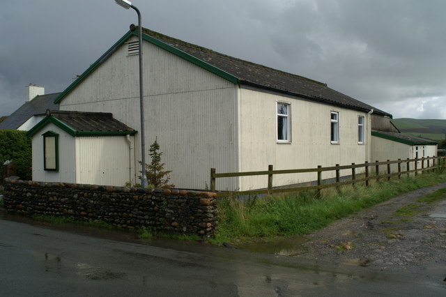
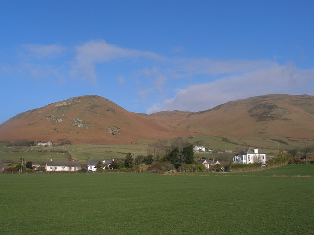
Whicham
- Overview About Whicham Map Street View Whicham is a hamlet and civil parish in Copeland, Cumbria, England. At the 2011 census the parish had a population of 382. The …
Co-Curate Page
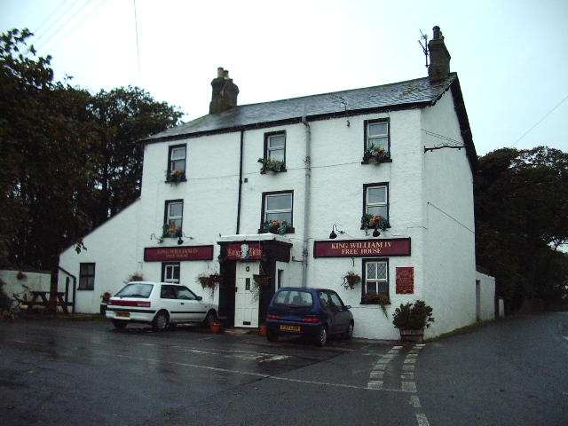
Kirksanton
- Overview About Kirksanton Map Street View Kirksanton is a village on the A5093 road, in the Copeland district, in the county of Cumbria, England. Nearby settlements include the town …
Co-Curate Page
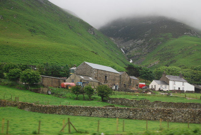
Whitbeck
- Overview About Whitbeck Map Street View Whitbeck is a hamlet in the Copeland district of Cumbria, located about 4 miles north-west of Millom and 6 miles south-west of Broughton-in-Furness. It …

Co-Curate Page
Whicham
- Overview About Whicham Map Street View Whicham is a hamlet and civil parish in Copeland, Cumbria, England. At the 2011 census the parish had a population of 382. The …
Co-Curate Page
Kirksanton
- Overview About Kirksanton Map Street View Kirksanton is a village on the A5093 road, in the Copeland district, in the county of Cumbria, England. Nearby settlements include the town …


