Topics > County Durham > Wheatley Hill
Wheatley Hill
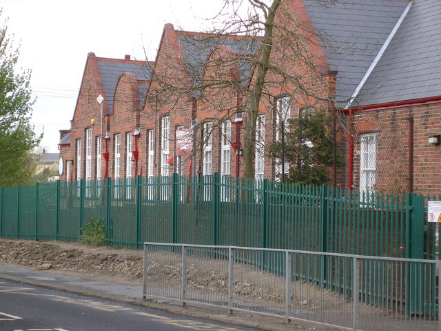
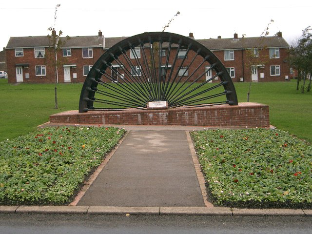
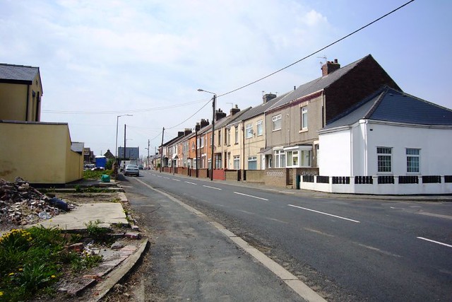
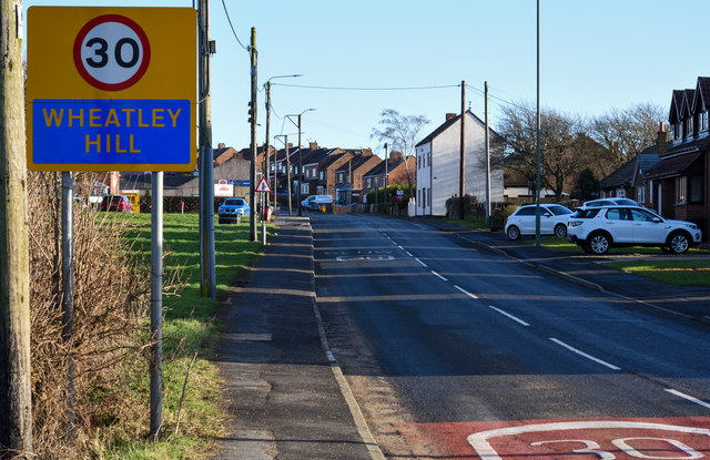
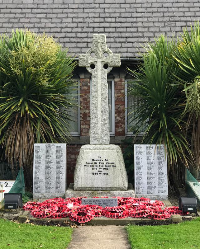
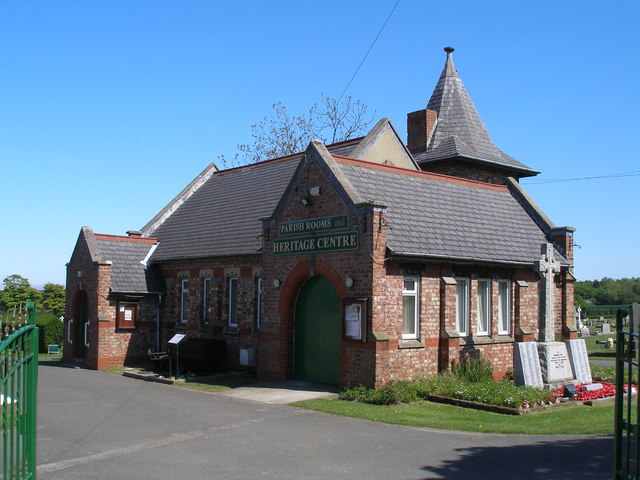
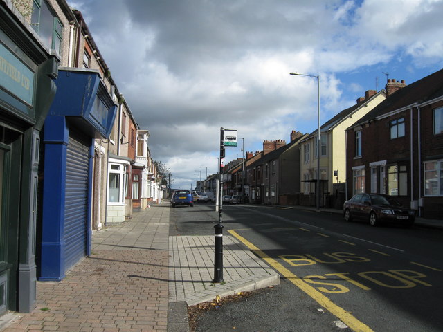 Wheatley Hill is a village in County Durham, located about 6 miles south-east of the City of Durham and 3 miles west of Peterlee. There was medieval setllement here, with Rock Farm believed to be the site of a former manor house. The placename means 'clearing in the woods where the wheat grows', in old English. However, the modern village developed in the 19th century, in association with coal mining, in particular, when Wheatley Hill Colliery was founded in 1869. By 1905, the colliery employed 1,485 men and boys. The Colliery closed in 1968, but is remembered by the old pit wheel on Memorial Park and in the Wheatley Hill Heritage Centre. Todays village includes two schools; Wheatley Hill Primary and St Godrics Catholic Primary School. The Greenhills Centre, run by Wheatley Hill Community Association, is located on Stephen's Terrace. The village War Memorial was moved to the cemetery in 2005, in which miners' leader, Peter Lee, is burried. The village and surrounding area form Wheatley Hill Civil Parish, and had a population of 3,150 at the time of the 2021 Census.
from IllustratedChronicles (flickr)
William Barratt, Wheatley Hill, lost at sea
Pinned by Pat Thomson
from Flickr (flickr)
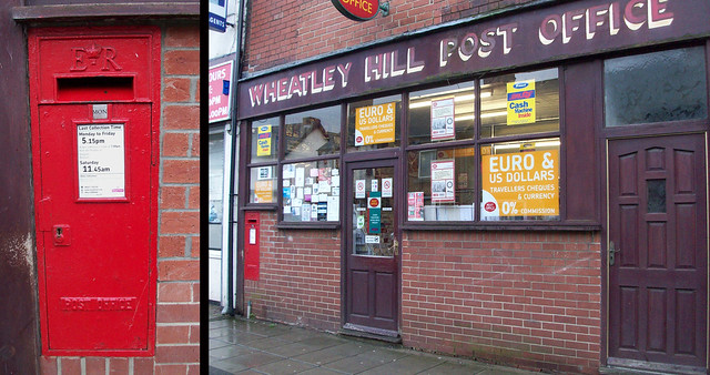
DH6 189: Elizabeth II wallbox, Wheatley Hill Post Office
Pinned by Simon Cotterill
from https://www.thenorthernecho.c…
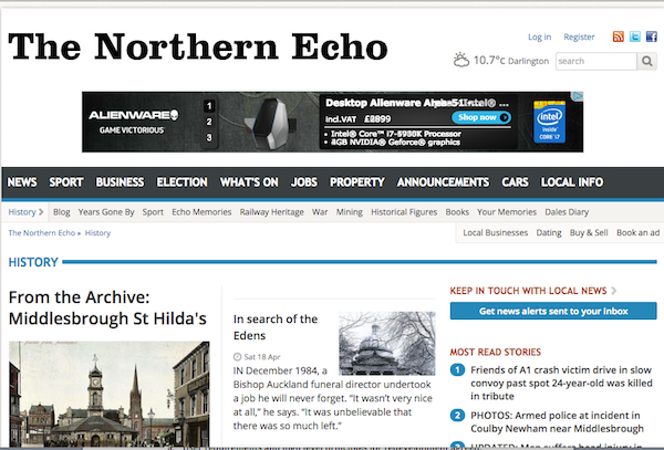
Unveiling of Ray Lonsdale statue The Last Shift
- Northern Echo, 4th May 2018. "....Dozens of people turned out at the Wheatley Hill Cemetery, in east Durham, to see the Last Shift, by artist Ray Lonsdale revealed for the …
Added by
Peter Smith


from IllustratedChronicles (flickr)
William Barratt, Wheatley Hill, lost at sea
Pinned by Pat Thomson

from Flickr (flickr)
DH6 189: Elizabeth II wallbox, Wheatley Hill Post Office
Pinned by Simon Cotterill

from https://www.thenorthernecho.c…
Unveiling of Ray Lonsdale statue The Last Shift
- Northern Echo, 4th May 2018. "....Dozens of people turned out at the Wheatley Hill Cemetery, in east Durham, to see the Last Shift, by artist Ray Lonsdale revealed for the …
Added by
Peter Smith


