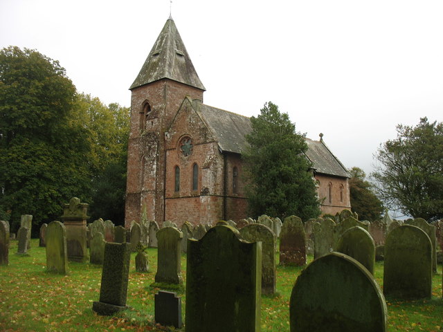
Topics > Civil Parishes in Cumbria > Walton Civil Parish
Walton Civil Parish
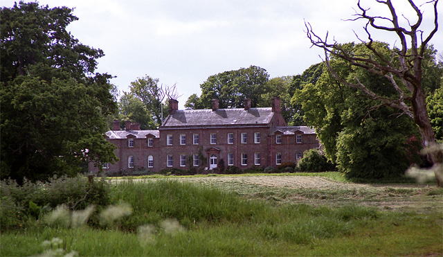
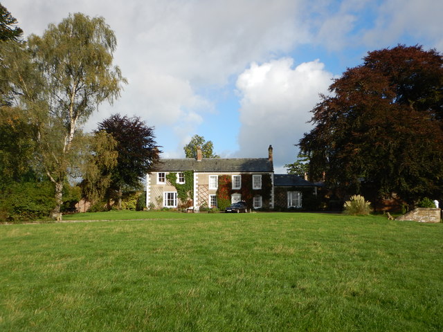
Settlements: Walton, Castlesteads (house)
Area: 15.4 km²
Population:
282 (2021 Census)
277 (2011 Census)
278 (2001 Census)
Medieval Period: The manor of Walton was granted to Lanercost Abbey, after the Dissolution it passed to Sir Thomas Dacre 1543. The estate descended in the Dacre family, until sold by William Dacre in 1789 to John Johnson, who built Castlesteads (origninally known as Walton Hall) 1789-1794.
Co-Curate Page
Walton
- Overview About Walton Map Street View Walton is a village in Cumbria, located about 9 miles north-east of Carlisle and 2 miles north of Brampton. The village is situated on …

from https://www.cumbriacountyhist…
Walton (High & Low)
- "Ancient parish in Eskdale ward, Cumberland, comprising townships of High Walton and Low Walton.
Acreage:
Walton 3,811 acres [1,542 ha], divided between townships thus: High Walton (including detached portion): 1,680 …
Added by
Simon Cotterill

Co-Curate Page
Walton
- Overview About Walton Map Street View Walton is a village in Cumbria, located about 9 miles north-east of Carlisle and 2 miles north of Brampton. The village is situated on …
from https://www.cumbriacountyhist…
Walton (High & Low)
- "Ancient parish in Eskdale ward, Cumberland, comprising townships of High Walton and Low Walton.
Acreage:
Walton 3,811 acres [1,542 ha], divided between townships thus: High Walton (including detached portion): 1,680 …
Added by
Simon Cotterill