Topics > Tyne and Wear > North Tyneside > Wallsend > The Green, Wallsend > Wallsend Green Conservation Area
Wallsend Green Conservation Area
%
Note: Map data from North Tyneside Council c/o Open Data UK, under the Open Government Licence, imported into Google MyMaps, February 2026. Check with NTC for amendments and updates.
from https://legacy.northtyneside.…
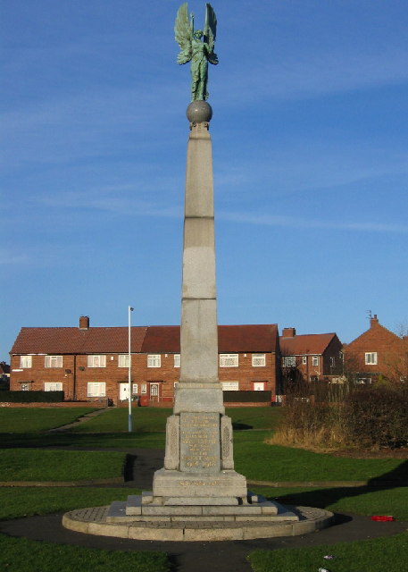
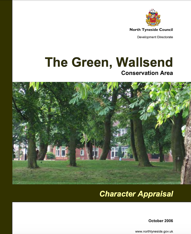
The Green, Wallsend Conservation Area
- Character Appraisal, 2006, North Tyneside Council. "...The Green Conservation Area was designated in 1974 and the boundary has not
changed since designation. The boundary is based on a medieval village …
Added by
Simon Cotterill

from https://legacy.northtyneside.…
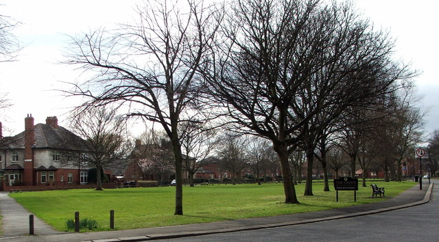
The Green, Wallsend Conservation Area
- Character Appraisal, 2006, North Tyneside Council. "...The Green Conservation Area was designated in 1974 and the boundary has not
changed since designation. The boundary is based on a medieval village …
Added by
Simon Cotterill