Topics > Heritage Sites > Hadrian's Wall > Wall Mile 73
Wall Mile 73
Hadrian's Wall - Wall Mile 73
Hadrian's Wall stretches from the east to west coast of England and was an important frontier of the Roman Empire. Building of the wall began in AD 122 and took six years to complete it’s 84 mile (80 Roman mile) length. Soldiers were garrisoned along the line of the wall in large forts, smaller milecastles, and intervening turrets. The Vallum, a large ditch with mounds on either side, ran along the south side of the wall, protecting the rear of the frontier. Hadrian's Wall was designated as a World Heritage Site in 1987.
Wall mile 73 was originally part of the turf wall, later replaced by stone. From Milecastle 49 to the western end of Hadrian's Wall on the Solway Firth, the wall was originally constructed from turf, possibly due to the absence of limestone. Subsequently, the turf wall was demolished and replaced with a stone wall.
Wall Mile 73:
- Milecastle 73 (Dykesfield)
- Turret 73a - exact location unknown
- Turret 73b - exact location unknown
Scheduled Monument (#1014698): Hadrian's Wall between Fulwood House at Burgh by Sands and Burgh Marsh in wall miles 72 and 73
Click the headings below to expand (selected extracts from the Historic England scheduling)
Map showing the buried remains of Hadrian's Wall in this section (Scheduled Monument area).
%
Hadrian's Wall survives as a buried feature throughout the whole length of this section with no features visible above ground. Excavations by Austen at West End in 1986 and subsequent geophysical survey in 1991, north of Rindle House demonstrated that the wall ditch ran approximately 11m north of the wall, a wider distance than is usual. The excavation across the ditch found the expected V-shaped profile, 10m wide at the top and 2.5m deep in the centre.
The Wall was initially built of turf in the whole of this sector. The 1986 excavations and further excavations in 1989 by Austen at the site of milecastle 72 found that in the eastern part of the monument, from a point 50m east of the lane crossing the Wall at West End, the turf wall was built on a raft of cobbles 6.1m wide, a previously unrecorded method of construction on Hadrian's Wall, whereas the rest of the Turf Wall in this section was found in the same excavations by Austen and at the site of turret 72b in 1948 by Simpson to have been constructed by the better known method of stacking turves directly on the soil.
When the Turf Wall was rebuilt in stone at the east end of this monument, the turf superstructure was entirely removed down to the cobble base, which was used as a foundation for the Stone Wall, whereas elsewhere a small amount of the base material of the Turf Wall remained sealed below the Stone Wall.
In the vicinity of turret 72a and at turret 72b, the Stone Wall was placed 1.2m from the front of the Turf Wall, presumably to align with the side doors of the turrets to give access onto the wall-top, whereas at milecastle 72 the north face of the Stone Wall coincided with the northern edge of the base of the Turf Wall.
The course of the Wall between Fulwood House and West End is now known as a result of these excavations to run a little to the north of the line depicted by the Ordnance Survey, with a slight change in direction southwards indicated 150m west of Fulwood House.
There is no evidence to suggest that Hadrian's Wall was carried across Burgh Marsh west of Dykefield
See our page: Wall Mile 74 which includes recent evidence suggesting that the Wall did cross Burgh Marsh.
Milecastle 73 was located and partly excavated by Simpson and others in 1948. It measured 18.7m wide and 19.2m long internally. However, the locational information from the excavation is not precise and the exact position of the milecastle has not been confirmed since. Its remains survive as buried features.
The course of the Roman road known as the Military Way, which ran along the corridor between the Wall and vallum linking turrets, milecastles and forts, has not yet been confirmed in this section.


from https://historicengland.org.u…
Hadrian's Wall between Fulwood House at Burgh by Sands and Burgh Marsh in wall miles 72 and 73 - List Entry
- ...Hadrian's Wall and its associated features between Fulwood House at Burgh by Sands and Burgh Marsh survive as a series of buried remains. Significant information on the function of the …
Added by
Simon Cotterill

from https://perlineamvalli.wordpr…
Wall Mile 73
- Wall Mile 73 (September 20, 2011) Mike Bishop's PLV blog about walking Hadrian’s Wall written from an archaeologist’s point of view. "....Although most of Wall Mile 73 crossed Burgh Marsh, …
Added by
Simon Cotterill

from Geograph (geograph)
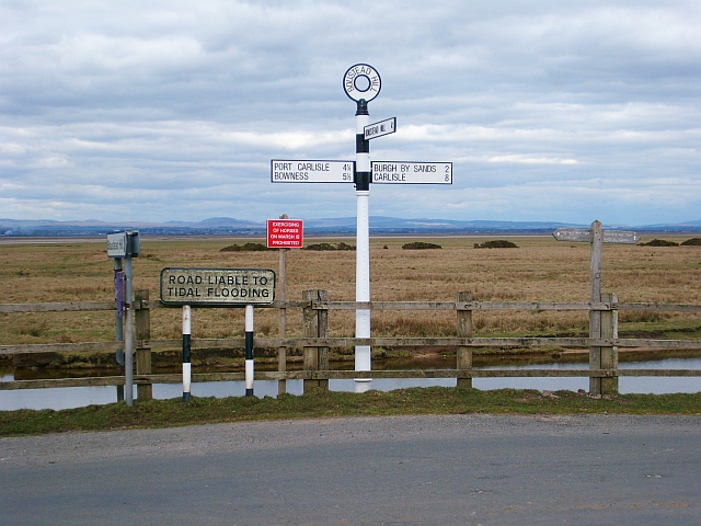
Hadrian's Wall Walk Day 1 - Bowness on Solway to Carlisle 4
Pinned by Simon Cotterill


from https://historicengland.org.u…
Hadrian's Wall between Fulwood House at Burgh by Sands and Burgh Marsh in wall miles 72 and 73 - List Entry
- ...Hadrian's Wall and its associated features between Fulwood House at Burgh by Sands and Burgh Marsh survive as a series of buried remains. Significant information on the function of the …
Added by
Simon Cotterill
from https://perlineamvalli.wordpr…
Wall Mile 73
- Wall Mile 73 (September 20, 2011) Mike Bishop's PLV blog about walking Hadrian’s Wall written from an archaeologist’s point of view. "....Although most of Wall Mile 73 crossed Burgh Marsh, …
Added by
Simon Cotterill
from Geograph (geograph)
Hadrian's Wall Walk Day 1 - Bowness on Solway to Carlisle 4
Pinned by Simon Cotterill


")