Topics > Heritage Sites > Hadrian's Wall > Wall Mile 23
Wall Mile 23
Hadrian's Wall - Wall Mile 23
Hadrian's Wall stretches from the east to west coast of England and was an important frontier of the Roman Empire. Building of the wall began in AD 122 and took six years to complete it’s 84 mile (80 Roman mile) length. Soldiers were garrisoned along the line of the wall in large forts, smaller milecastles, and intervening turrets. The Vallum, a large ditch with mounds on either side, ran along the south side of the wall, protecting the rear of the frontier. Hadrian's Wall was designated as a World Heritage Site in 1987.
Wall Mile 23:
- Milecastle 23 (Stanley) - faintly visible as a turf covered platform
- Turret 23a (Stanley Plantation) - exact location unconfirmed
- Turret 23b (Wall Fell) - exact location unconfirmed
Hadrian's Wall runs beneath the B6318 Military Road for most of of this Wall Mile. However, the wall ditch and it's associated upcast mound are visible. Traces of the Military Way and Vallum can also be seen.
Scheduled Monument (#1010626): Hadrian's Wall and vallum between the track to Portgate Cottage and the field boundary east of milecastle 24 in wall miles 22 and 23
Click the headings below to expand (selected extracts from the Historic England scheduling)
%
This section follows a straight alignment throughout its length and links the crests of the high ground along this length. Hadrian's Wall runs beneath the B6318 road for the entire length of this section.
The wall ditch and upcast mound to the north survive well as upstanding earthworks for most of the length of this section. The ditch averages 2m deep throughout, though it reaches a maximum of 2.8m in places. The upcast mound from the ditch, usually known as the 'glacis', survives up to a maximum of 1m in height to the north of the ditch.
Milecastle 23 is situated about 50m east of the Stanley Plantation on the south side of the B6318 road on an east facing slope. It survives as a turf covered platform about 1m high with traces of a ditch around it. It was partly excavated in 1930 and it was shown to have an internal width of 15m and walls 2.9m thick.
Turret 23a is expected to be located about 260m east of the west edge of the Stanley Plantation on the basis of the normal spacing.
Turret 23b is expected to be located about 100m east of the road to Oakwood on the basis of the normal spacing.
The Roman road known as the Military Way, which ran along the corridor between the Wall and the vallum linking turrets, milecastles and forts, occupies the north mound of the vallum throughout the whole length of this section. It survives well and is visible as an upstanding earthwork.
The vallum runs parallel to the Wall throughout this section. It survives very well for most of this section and is clearly visible as an upstanding earthwork. The north and south mounds reach a height of 1.8m, while the vallum ditch reaches a depth of 3m in places. There was limited excavation of the vallum during 1952 near milecastle 23 when it was shown that the north mound was broken by a gap giving access to the milecastle. A causeway across the vallum ditch would also have been required at this point. The ditch, however, appeared to have been recut, indicating that the access route to the milecastle changed through the main period of use of the Wall.


from https://historicengland.org.u…
Hadrian's Wall and vallum between the track to Portgate Cottage and the field boundary east of milecastle 24 in wall miles 22 and 23 - List Entry
- ....Hadrian's Wall and vallum and their associated features between the track to Portgate Cottage and the field boundary east of milecastle 24 survive well as a series of buried and …
Added by
Simon Cotterill
from Geograph (geograph)
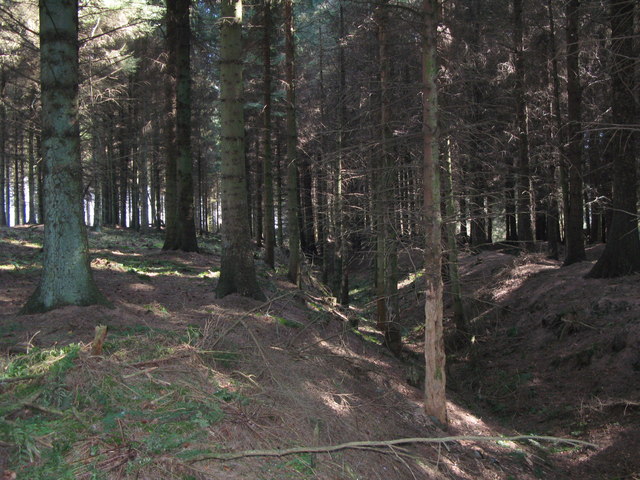
The Vallum in the Stanley Plantation west of Milecastle 23 (2)
Pinned by Simon Cotterill


from https://historicengland.org.u…
Hadrian's Wall and vallum between the track to Portgate Cottage and the field boundary east of milecastle 24 in wall miles 22 and 23 - List Entry
- ....Hadrian's Wall and vallum and their associated features between the track to Portgate Cottage and the field boundary east of milecastle 24 survive well as a series of buried and …
Added by
Simon Cotterill
from Geograph (geograph)
The Vallum in the Stanley Plantation west of Milecastle 23 (2)
Pinned by Simon Cotterill


