Topics > Heritage Sites > Hadrian's Wall > Wall Mile 2
Wall Mile 2
Hadrian's Wall - Wall Mile 2
Hadrian's Wall stretches from the east to west coast of England and was an important frontier of the Roman Empire. Building of the wall began in AD 122 and took six years to complete it's 84 mile (80 Roman mile) length. Soldiers were garrisoned along the line of the wall in large forts, smaller milecastles, and intervening turrets. The Vallum, a large ditch with mounds on either side, ran along the south side of the wall, protecting the rear of the frontier. Hadrian's Wall was designated as a World Heritage Site in 1987.
Wall Mile 2:
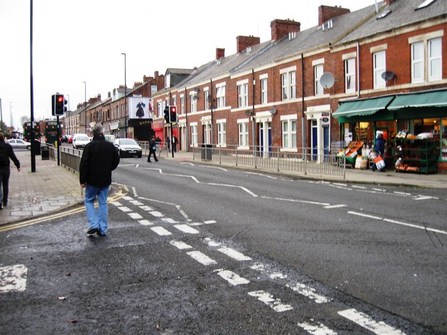
There are no surface remains of the wall or vallum in Wall Mile 2. However, a locally improvised replica of a short stretch of the wall is located at the junction of Fossway and Shields Road.
- Milecastle 2 (Walker) - no visible surface remains
- Turret 2a - site remains unidentified
- Turret 2b - site remains unidentified
In February 2001, substantial remains of the wall were located on the site of a new public square outside the swimming baths on the south side of Shields Road. A 29 metres stretch of Wall foundations were revealed, 2.5 metres wide constructed of a rubble core between large edging blocks. It had been built on the site of a native settlement, evidenced by a series of drainage ditches and stakeholes.[1]
Scheduled Monument (#1003509): Hadrian's Wall in wall mile 2, Walker section of Hadrian's Wall under the forecourt of the Fosse public house
Click the heading below to expand (map of the Scheduled Monument area)
Map showing the buried remains of Hadrian's Wall in this section (Scheduled Monument area).
%
Scheduled Monument (#1003510): Hadrian's Wall in wall mile 2, Walker section of Hadrian's Wall 171m long across Millers Dene playing field
Click the heading below to expand (map of the Scheduled Monument area)
Map showing the buried remains of Hadrian's Wall in this section (Scheduled Monument area).
%
Scheduled Monument (#1003511): Hadrian's Wall in wall mile 2, Walker section of Hadrian's Wall near the junction of Fossway and Shields Road
Click the heading below to expand (map of the Scheduled Monument area)
Map showing the buried remains of Hadrian's Wall in this section (Scheduled Monument area).
%
Scheduled Monument (#1003508): Hadrian's Wall in wall mile 2, Byker section of Hadrian's Wall and presumed site of milecastle 3 at Shields Road West
Click the heading below to expand (map of the Scheduled Monument area)
Map showing the buried remains of Hadrian's Wall in this section (Scheduled Monument area).
%


from https://historicengland.org.u…
Hadrian's Wall in wall mile 2, Walker section of Hadrian's Wall 171m long across Millers Dene playing field - List Entry
Added by
Simon Cotterill
from https://historicengland.org.u…
Hadrian's Wall in wall mile 2, Walker section of Hadrian's Wall under the forecourt of the Fosse public house - List Entry
Added by
Simon Cotterill
from https://historicengland.org.u…
Hadrian's Wall in wall mile 2, Walker section of Hadrian's Wall near the junction of Fossway and Shields Road - List Entry
Added by
Simon Cotterill
from https://historicengland.org.u…
Hadrian's Wall in wall mile 2, Byker section of Hadrian's Wall and presumed site of milecastle 3 at Shields Road West - List Entry
Added by
Simon Cotterill

from https://www.twsitelines.info/…
Hadrian's Wall, Tunstall Avenue-Stephen Street (Wall mile 2)
- Though it is still generally accepted that the Wall ran along the south side of the Fossway and Shields Road, with the ditch and berm under the roads, a number …
Added by
Simon Cotterill

from https://perlineamvalli.wordpr…
Wall Mile 2
- Wall Mile 2 (May 20, 2012). Mike Bishop's PLV blog about walking Hadrian’s Wall written from an archaeologist’s point of view. '...Return to the line of Shields Road and head …
Added by
Simon Cotterill

from https://historicengland.org.u…
Hadrian's Wall in wall mile 2, Walker section of Hadrian's Wall 171m long across Millers Dene playing field - List Entry
Added by
Simon Cotterill
from https://historicengland.org.u…
Hadrian's Wall in wall mile 2, Walker section of Hadrian's Wall under the forecourt of the Fosse public house - List Entry
Added by
Simon Cotterill
from https://historicengland.org.u…
Hadrian's Wall in wall mile 2, Walker section of Hadrian's Wall near the junction of Fossway and Shields Road - List Entry
Added by
Simon Cotterill
from https://historicengland.org.u…
Hadrian's Wall in wall mile 2, Byker section of Hadrian's Wall and presumed site of milecastle 3 at Shields Road West - List Entry
Added by
Simon Cotterill
from https://www.twsitelines.info/…
Hadrian's Wall, Tunstall Avenue-Stephen Street (Wall mile 2)
- Though it is still generally accepted that the Wall ran along the south side of the Fossway and Shields Road, with the ditch and berm under the roads, a number …
Added by
Simon Cotterill
from https://perlineamvalli.wordpr…
Wall Mile 2
- Wall Mile 2 (May 20, 2012). Mike Bishop's PLV blog about walking Hadrian’s Wall written from an archaeologist’s point of view. '...Return to the line of Shields Road and head …
Added by
Simon Cotterill