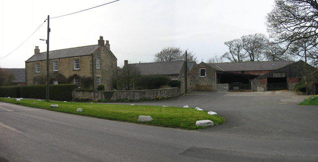
Topics > County Durham > Urpeth > Urpeth Township, 1848
Urpeth Township, 1848
Extract from: A Topographical Dictionary of England comprising the several counties, cities, boroughs, corporate and market towns, parishes, and townships..... 7th Edition, by Samuel Lewis, London, 1848.
URPETH, a township, in the parish and union of Chester-le-Street, Middle division of Chester ward, N. division of the county of Durham, 3 miles (N. by W.) from Chester-le-Street; containing 907 inhabitants. It comprises 1,614 acres, of which one-third is arable, one-third pasture and meadow, and one-third woodland; the soil is favourable to the growth of wheat, barley, and turnips, and in some parts is remarkably rich. The surface is elevated, but inclosed all round by greater heights; the scenery is highly picturesque, with beautiful views. A colliery, which comprehends nearly the whole township, is let on lease by the Bewicke family; the works were commenced in 1833, and the seam at present wrought is found at a depth of 70 fathoms. In the township are also some good freestone-quarries, from one of which the principal part of Lambton Castle was erected. Three forges for malleable iron are at work, employing about 50 hands; and a linseed-oil mill employs about 40: there are likewise a paper-mill and a corn-mill. A private tramway runs to the Tyne; and the Pontop and South Shields railway passes within a quarter of a mile, on the south of the township. The village lies south of the small river Team.


