Topics > Northumberland > Berwick upon Tweed > Town Walls
Town Walls
The Town Walls at Berwick-upon-Tweed were first built in the early 14th century under King Edward I, after his capture of the town from the Scots. These Medieval walls stretched for over 2 miles around the town. Most of the walls were replaced in the 16th century, with the new walls covering a smaller area.
Berwick's town walls are a sequence of defensive structures built around the town of Berwick-upon-Tweed in England.
History
Medieval fortification
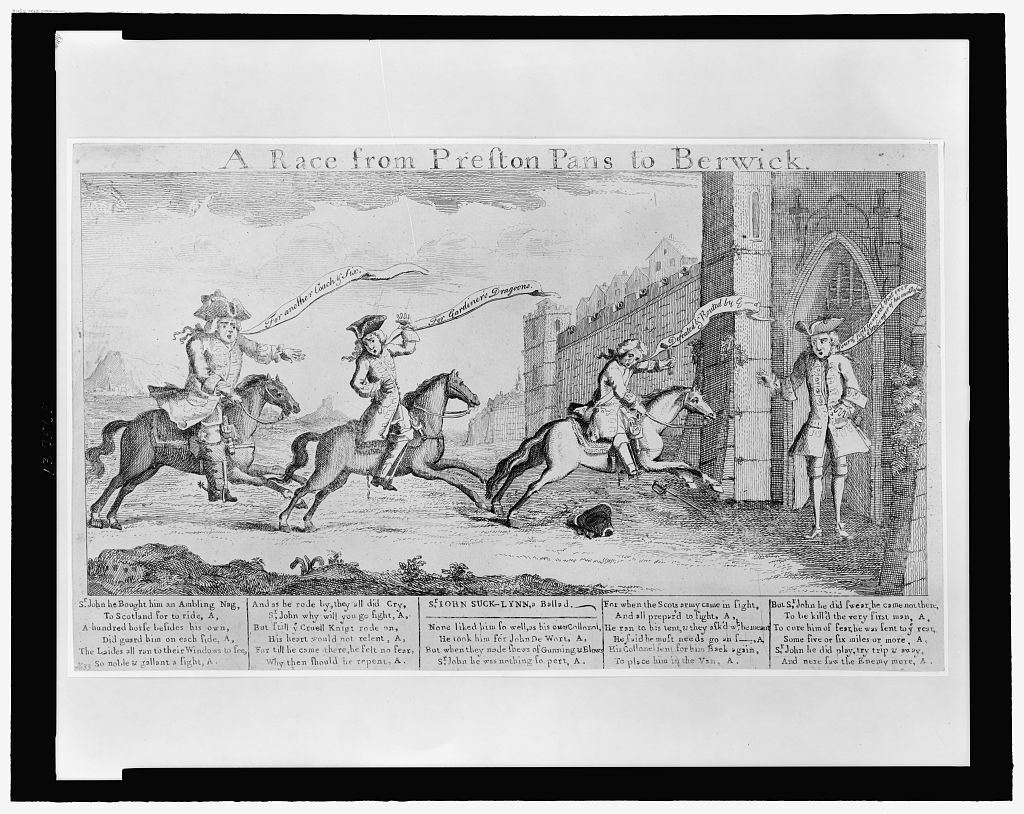
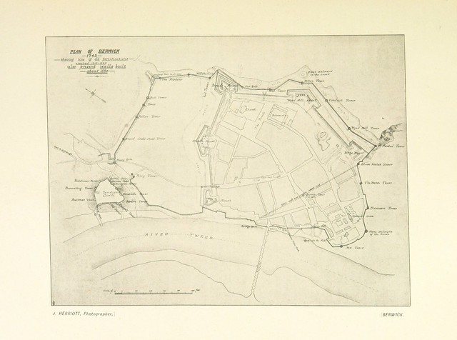
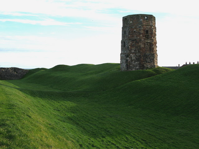
Berwick's town walls were built in the early 14th century under Edward I, following his capture of the city from the Scots. When complete they stretched in length and were 3 feet 4 inches thick and up to 22 feet (6.7 m) high, protected by a number of smaller towers, up to 60 feet (18 m) tall. They were funded by a murage grant in 1313, a tax on particular goods imported into the town. By 1405, however, the walls had fallen into considerable disrepair and were incapable of preventing Henry IV from taking the town with relative ease.
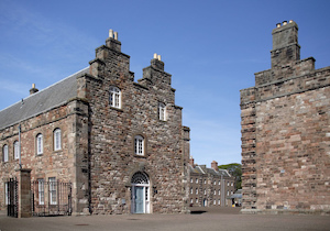
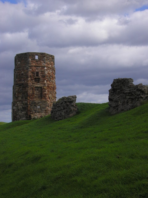
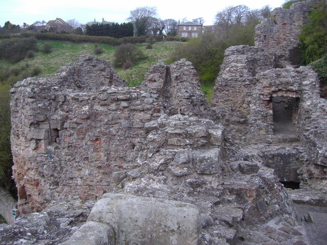
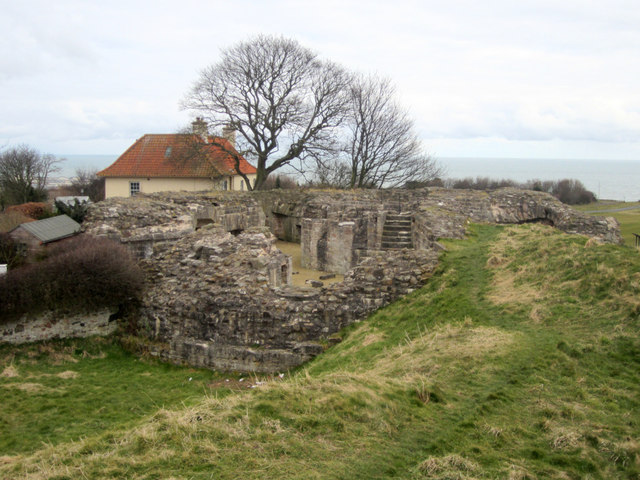
Berwick Castle (an earlier structure) lay just outside the medieval wall to the north-west, and was connected to the town by a bridge leading to a gate in the wall.
Elizabethan rebuilding
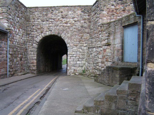
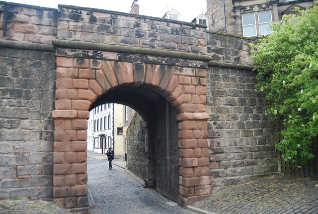
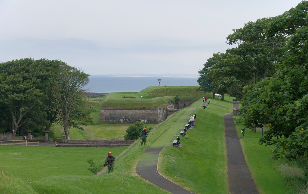
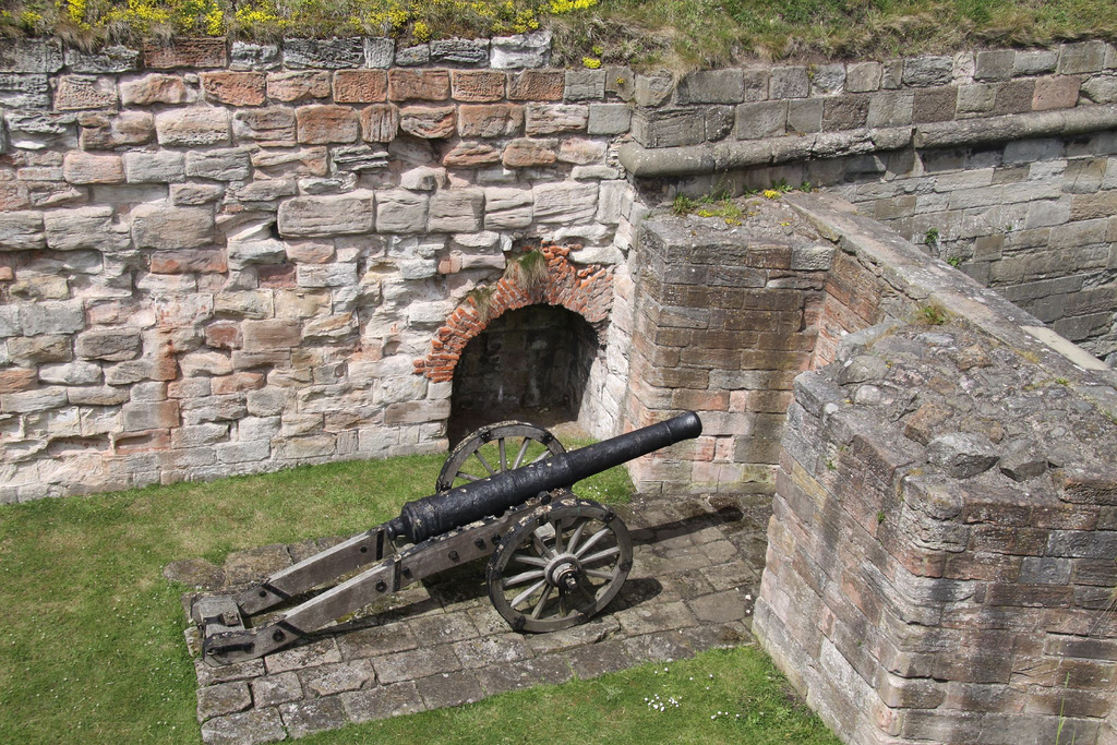
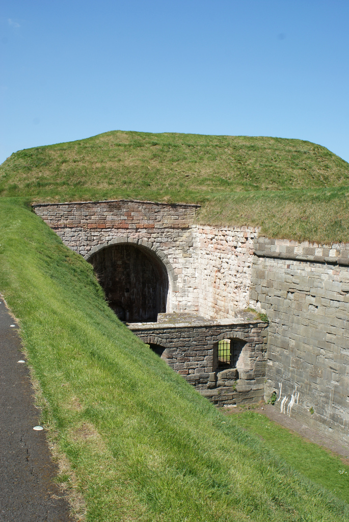
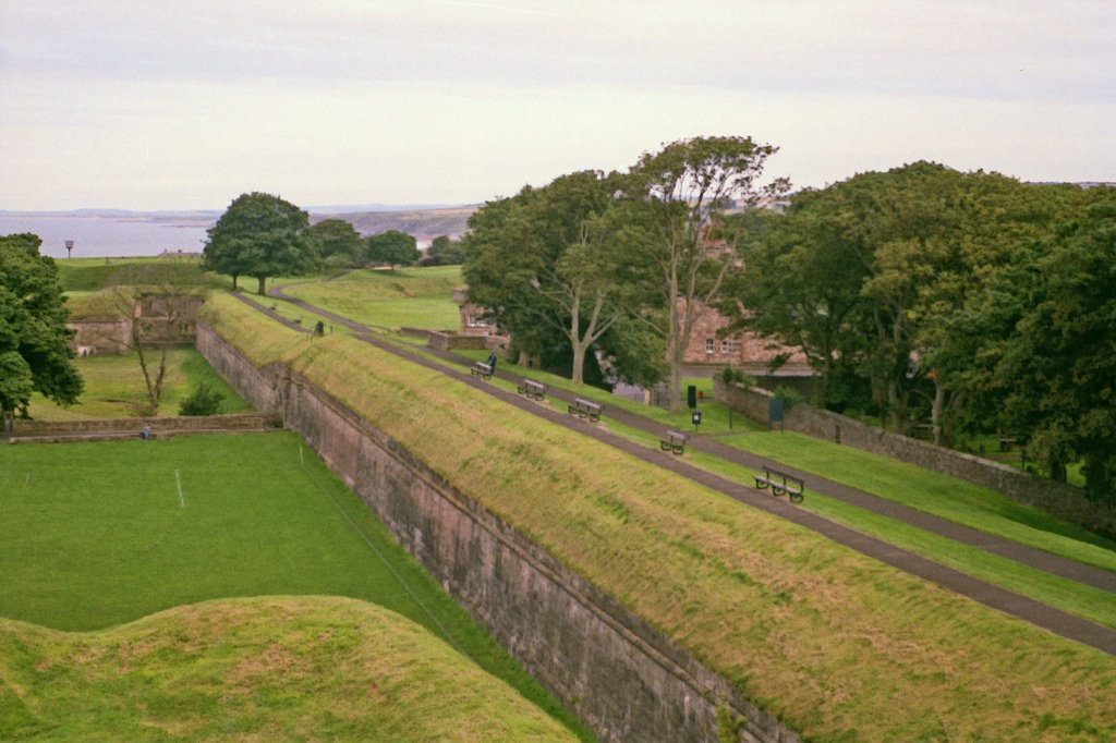
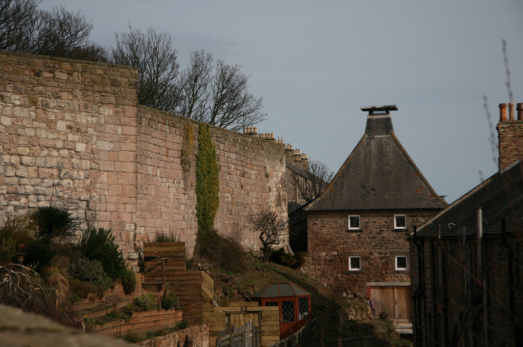
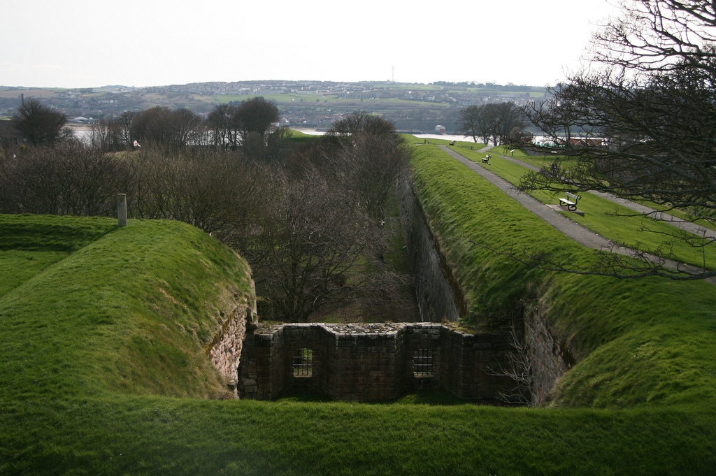
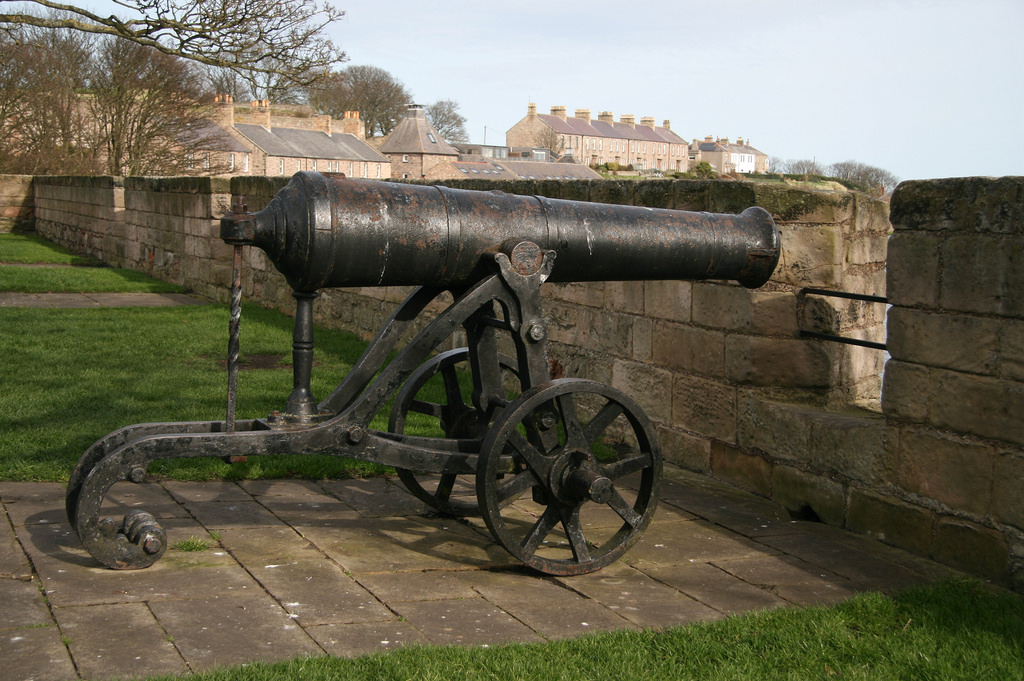
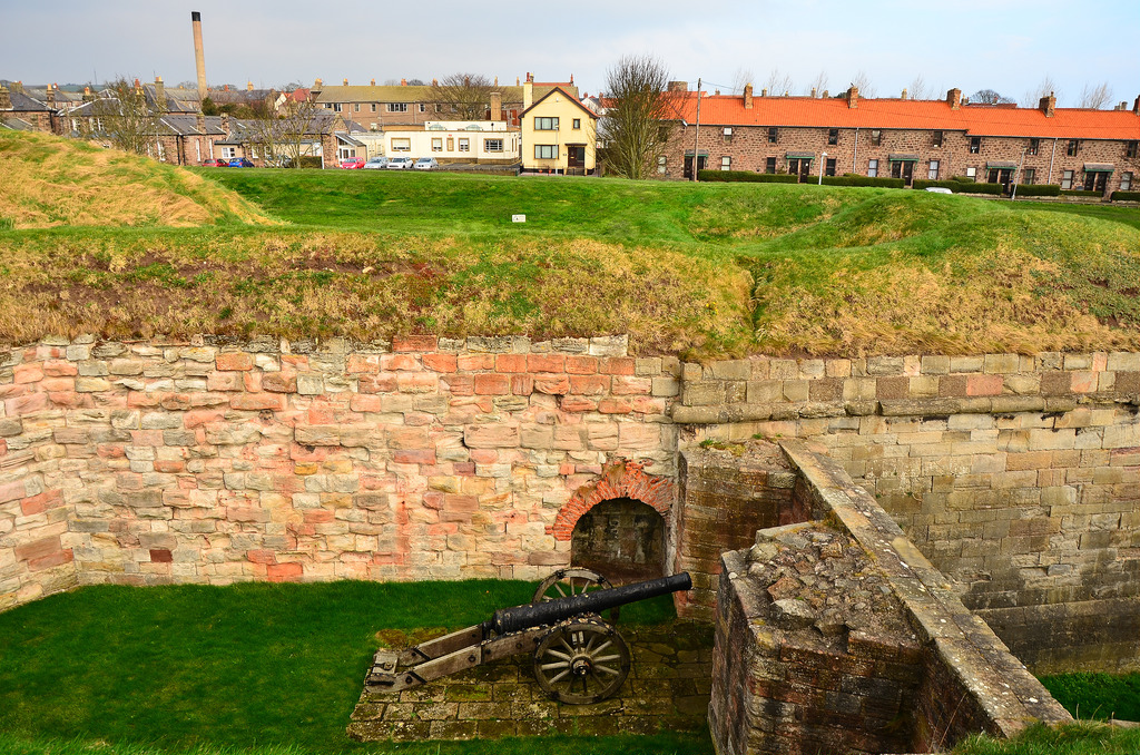
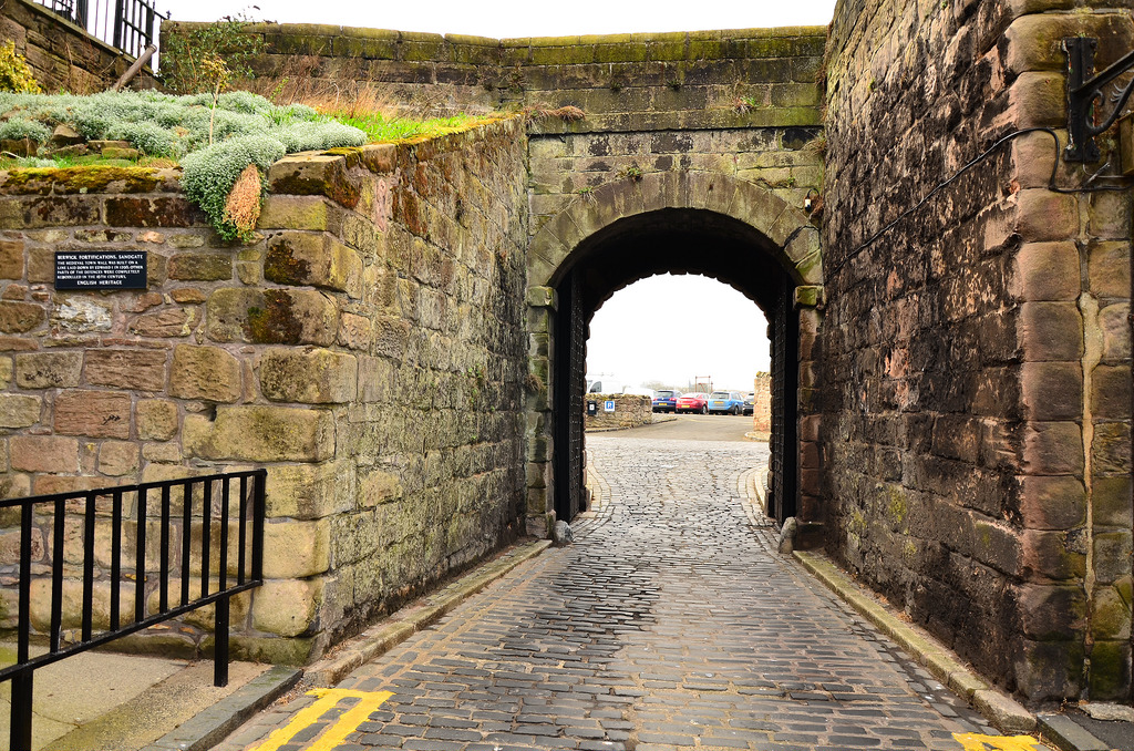
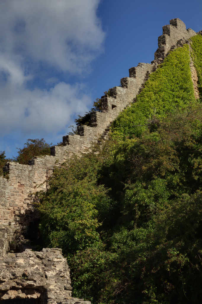
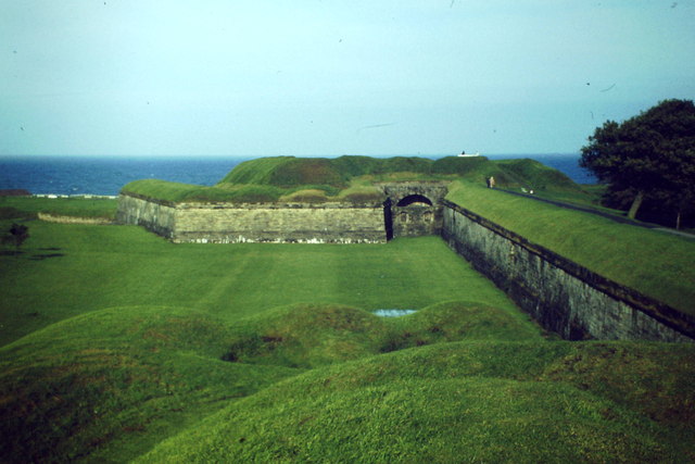
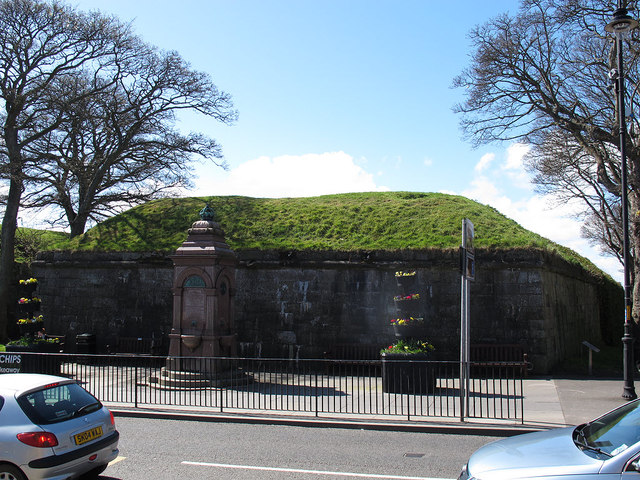
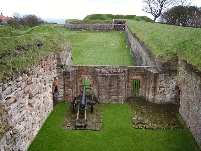
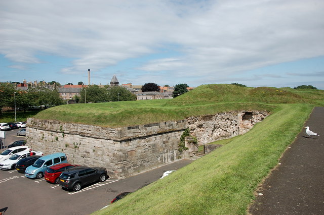
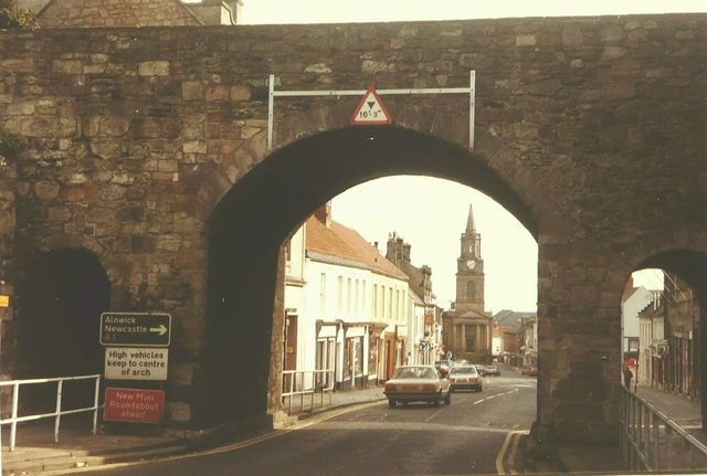
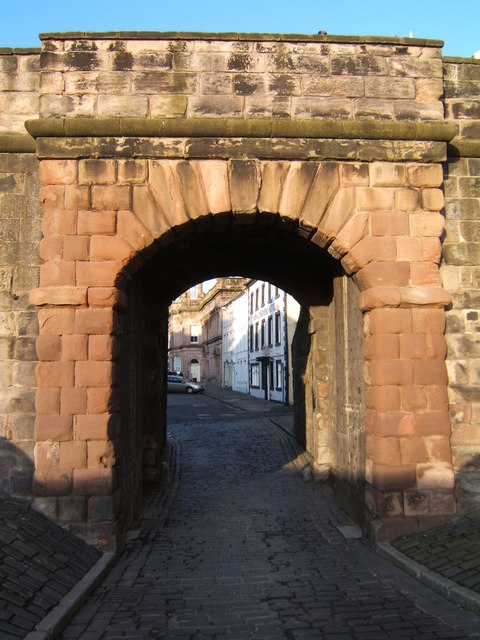
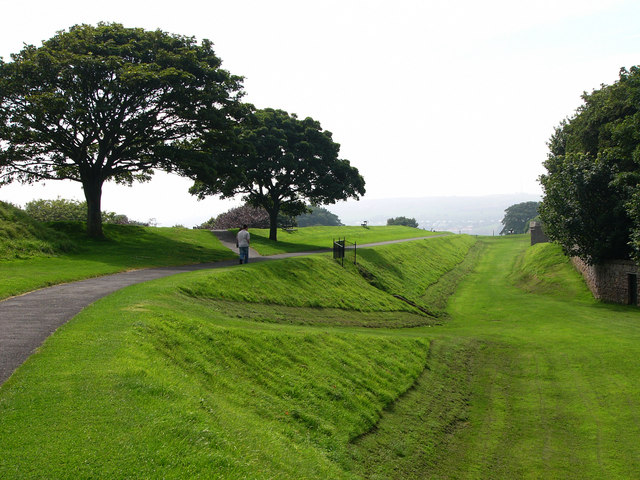
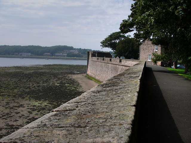
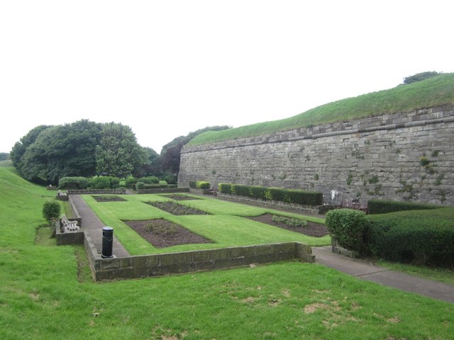
An additional, short-lived, fort was built in 1552 to supplement the walls. By 1560, however, it was concluded that it was impractical to upgrade the existing walls and a new set of town fortifications in an Italian style were constructed instead, destroying much of the earlier medieval stonework. Sir Richard Lee served as Chief Surveyor for these works; he came up with an innovative design, combining ditches and walls backed by substantial earthworks (designed to absorb the force of an artillery attack). The new walls were much smaller in length, enclosing only two thirds of the medieval area, allowing them to include more artillery emplacements and five large stone bastions. The 16th century walls included four gates. In the 18th century most of the remaining parts of the medieval walls were steadily lost.
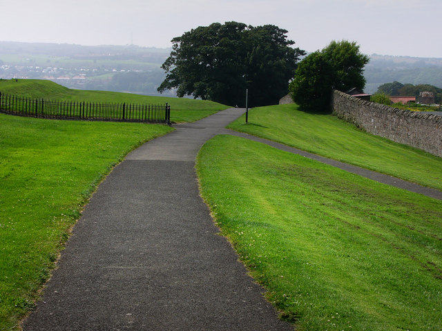
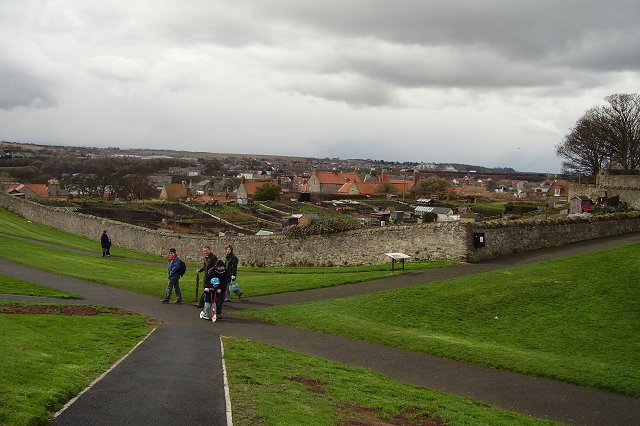
The walls today
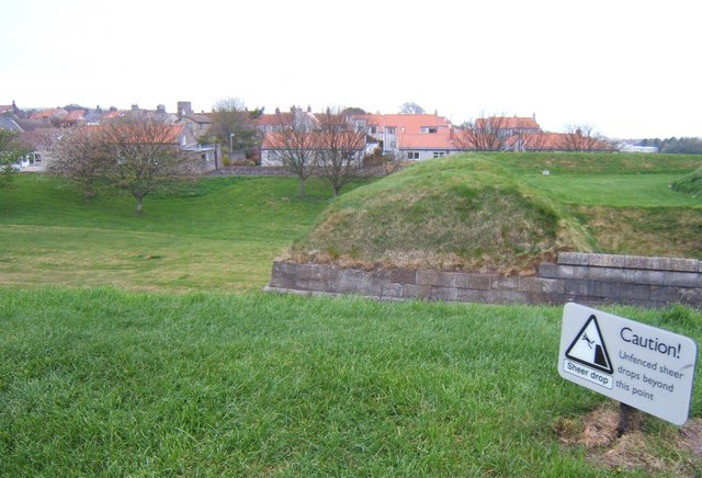
Today the walls are, in the view of archaeologists Oliver Creighton and Robert Higham, "by some measure the best-preserved example of town defences in Britain designed for post-medieval warfare". They are protected as a scheduled monument and a grade I listed building.
Visit the page: Berwick town walls for references and further details. You can contribute to this article on Wikipedia.
Co-Curate Page
Berwick Castle (ruins)
- Overview About Berwick Castle Map Street View Berwick Castle is a ruined castle in Berwick-upon-Tweed, Northumberland, England. History The castle was founded in the 12th century by the Scottish …

from Flickr (flickr)
Image taken from page 173 of 'Berwick-upon-Tweed. The history of the town and guild. Illustrated by photo-engravings, etc'
Pinned by Simon Cotterill

Co-Curate Page
Berwick Castle (ruins)
- Overview About Berwick Castle Map Street View Berwick Castle is a ruined castle in Berwick-upon-Tweed, Northumberland, England. History The castle was founded in the 12th century by the Scottish …
from Flickr (flickr)
Image taken from page 173 of 'Berwick-upon-Tweed. The history of the town and guild. Illustrated by photo-engravings, etc'
Pinned by Simon Cotterill