Topics > Northumberland > Thropton
Thropton
Thropton, Northumberland.
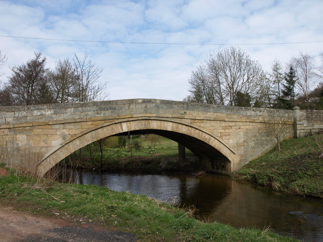
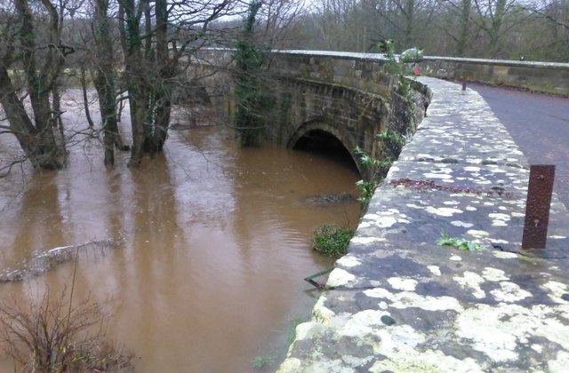
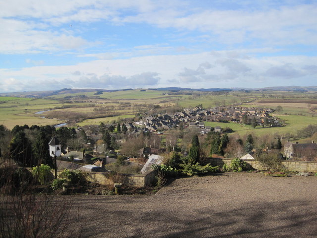
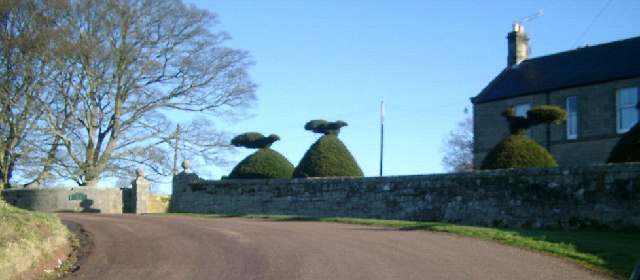
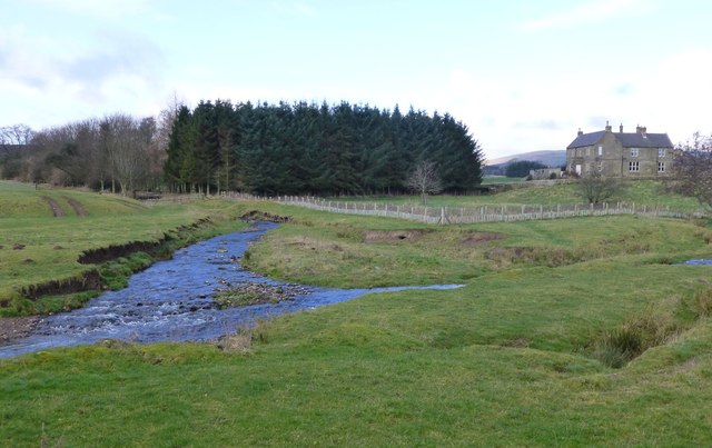
Thropton is a small village in Northumberland, England, situated about 2 miles west of Rothbury near the junction of the Wreigh Burn and the River Coquet. In the village is a fine bridge over the Wreigh Burn which was built in 1811. There is a haugh to the south of the village, and imposing views of Simonside, a long low crag south of the Coquet that runs between Rothbury and Thropton.
Amenities
There is a sub post office with a small village shop selling general provisions including fresh fruit and vegetables. A wider range of shops and facilities is available at Rothbury or further afield.
Thropton has two pubs: the Cross Keys and the Three Wheat Heads. The Three Wheat Heads is a 300-year-old coaching inn.
Landmarks
A little over a mile to the south of the village are the ruins of Great Tosson Tower, a pele tower probably built in the late fifteenth century and later used as part of a system of watch towers designed to curb the activities of the Border Reivers.
Transport links
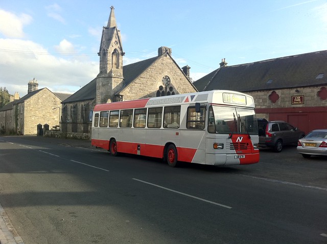
Thropton is the terminus for the 14 Thropton - Rothbury - Morpeth bus which is a lifeline to the rural community. It is currently operated by Arriva Northumbria and was formerly operated by Go North East.
from Flickr (flickr)
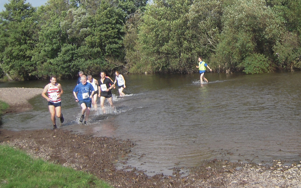
Thropton Show - Simonside Fell Race - 2009-09-19--13.32.36 (25).jpg
Pinned by Pat Thomson
Co-Curate Page
Cartington
- Overview About Cartington Map Street View Cartington is a village and former civil parish in Northumberland, located about 2 miles north of Rothbury. Nearby villages are Thropton and Snitter to …
Co-Curate Page
Wreigh Burn
- Wreigh Burn is a small river in Northumberland, which is a tributary of the River Coquet. Wreigh Burn forms with the confluence of Netherton Burn and Scrainwood Burn, near Netherton. It …

from Flickr (flickr)
Thropton Show - Simonside Fell Race - 2009-09-19--13.32.36 (25).jpg
Pinned by Pat Thomson
Co-Curate Page
Cartington
- Overview About Cartington Map Street View Cartington is a village and former civil parish in Northumberland, located about 2 miles north of Rothbury. Nearby villages are Thropton and Snitter to …