Topics > Geography > Rivers > River Tyne > Stanley Burn

Stanley Burn


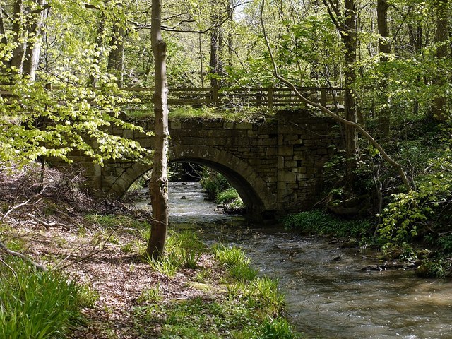
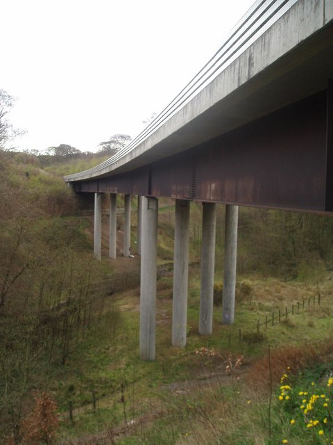
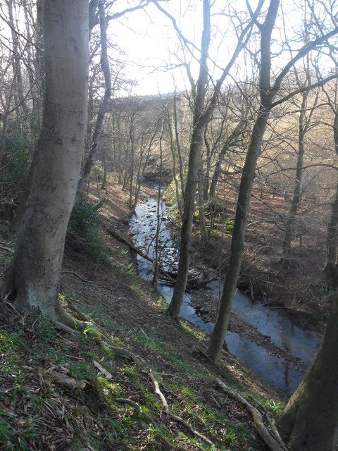
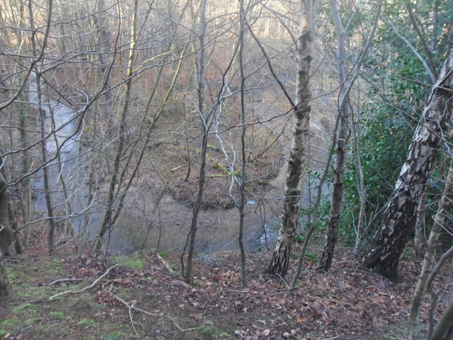
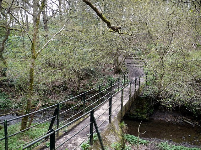
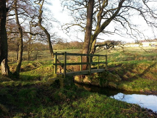
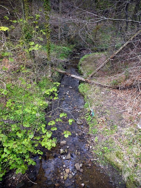
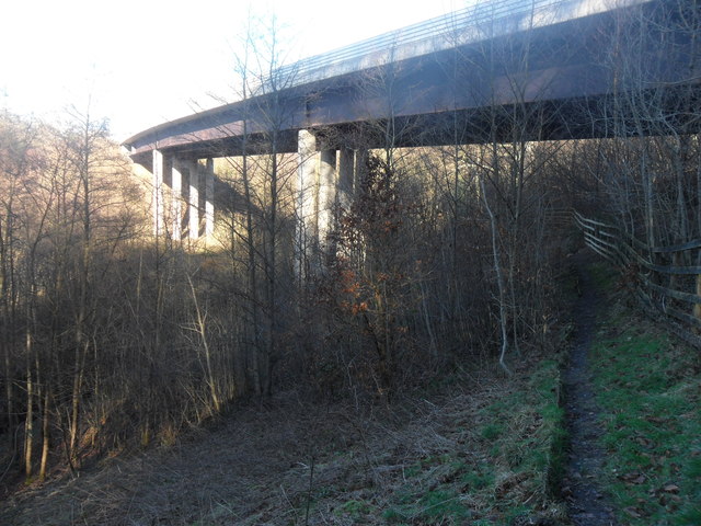
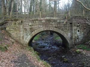
Stanley Burn is a tributary of the River Tyne. It joins the Tyne near Wylam. Stanley Burn is about 4.8km long, with a catchment area of 18 km2[1]. Stanley Burn Wood is an ancient semi-natural woodland, managed by the Woodland Trust.

River Tyne Stanleyburn Bridge
from Geograph (geograph)
The old Stanleyburn Bridge

Pinned by Simon Cotterill
from Geograph (geograph)
Bridge over Stanley Burn.

Pinned by Simon Cotterill
from Geograph (geograph)
Stanley Burn

Pinned by Simon Cotterill
from Geograph (geograph)
Meander in Stanley Burn

Pinned by Simon Cotterill
from Geograph (geograph)
Footbridge over Stanley Burn

Pinned by Simon Cotterill
from Geograph (geograph)
Footbridge over Stanley Burn near Durham Riding

Pinned by Simon Cotterill
from Geograph (geograph)
Stanley Burn north of Moor Road

Pinned by Simon Cotterill
from Geograph (geograph)
Viaduct over Stanley Burn

Pinned by Simon Cotterill
from https://environment.data.gov.…
Stanley Burn Catchment (trib of Tyne)

Added by
Simon Cotterill
Stanleyburn Bridge
  Co-Curate Page
Stanleyburn Bridge

Comments

Add a comment or share a memory.

Login to add a comment. Sign-up if you don't already have an account.


ABOUT US

Co-Curate is a project which brings together online collections, museums, universities, schools and community groups to make and re-make stories and images from North East England and Cumbria. Co-Curate is a trans-disciplinary project that will open up 'official' museum and 'un-officia'l co-created community-based collections and archives through innovative collaborative approaches using social media and open archives/data.

LATEST SHARED RESOURCES