Topics > Northumberland > Stamfordham > Stamfordham Conservation Area
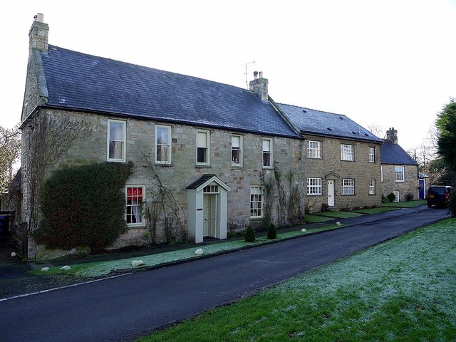
Stamfordham Conservation Area
%
Note: Map data from Northumberland County Council c/o Open Data UK, under the Open Government Licence, imported into Google MyMaps, February 2026. Check with NCC for amendments and updates.

Co-Curate Page
Stamfordham Civil Parish
- Parish boundaries may have changed - for the latest map see the Parish Council or Northumberland County Council. About the Parish Settlements: The parish includes the village of Stamfordham and the …