Topics > Civil Parishes in Cumbria > St Bees Civil Parish
St Bees Civil Parish
St Bees Civil Parish includes the village of St Bees village, the hamlet of Rottington, and a section of the Cumbrian coast.
Area: 14.9 km²
Population:
1,638 (2021 Census)
1,801 (2011 Census)
1,508 (2001 Census)
Co-Curate Page
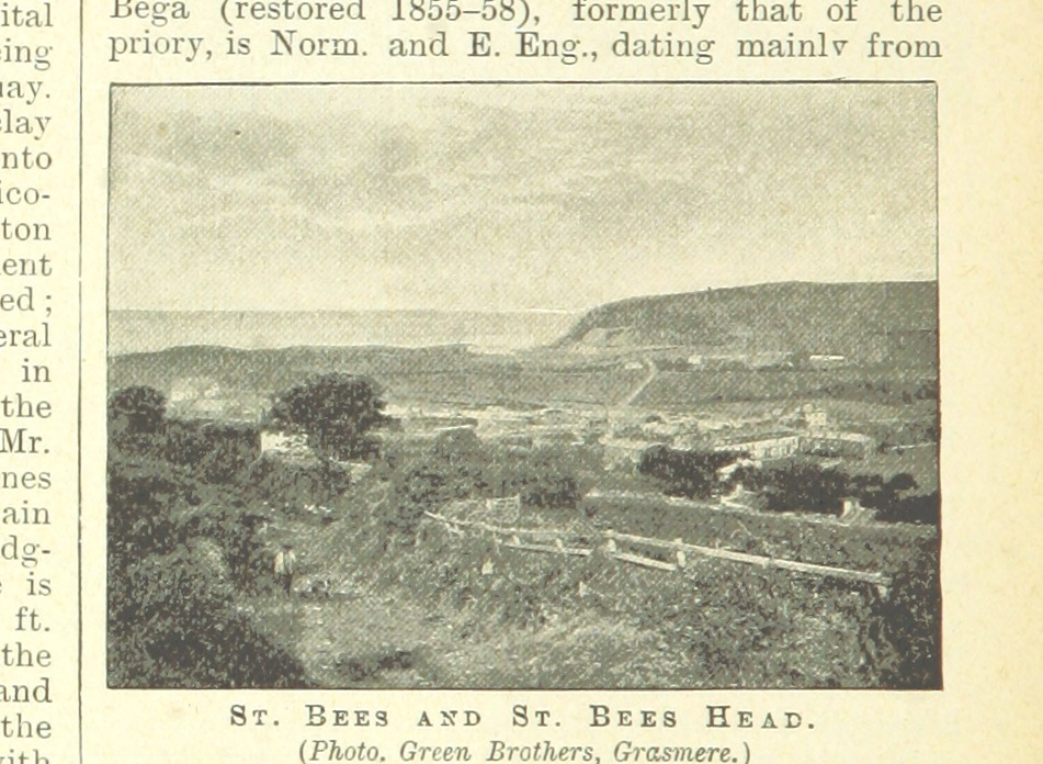
St Bees
- Overview About St Bees Map Street View St Bees is a coastal village, civil parish and electoral ward in the Copeland district of Cumbria, England, on the Irish Sea. …
Co-Curate Page
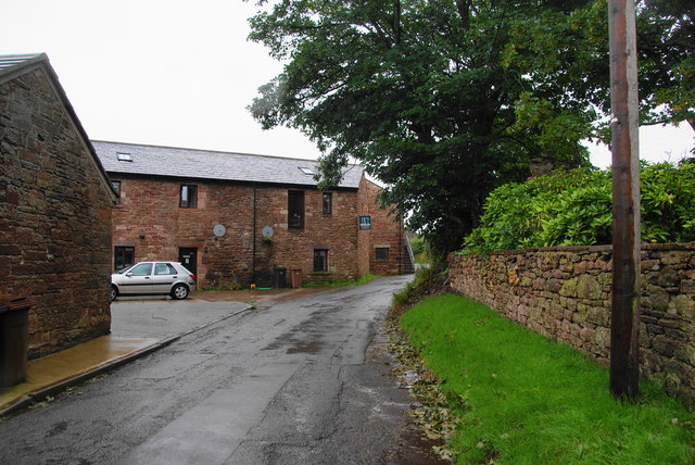
Rottington
- Overview About Rottington Map Street View Rottington is a hamlet in the Copeland district of Cumbria, located near the coast and about 1 mile north-west of the village of St …
Co-Curate Page
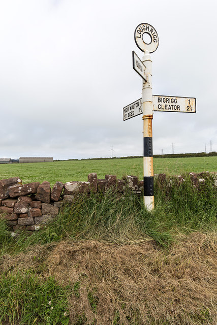
Loughrigg, St Bees
- Overview Map Street View Loughrigg is a hamlet in the Copeland district of Cumbria, located about 1 mile north-east of St Bees. Loughrigg Farm, Loughrigg Cottages and Highfield Farm are …

Co-Curate Page
St Bees
- Overview About St Bees Map Street View St Bees is a coastal village, civil parish and electoral ward in the Copeland district of Cumbria, England, on the Irish Sea. …
Co-Curate Page
Rottington
- Overview About Rottington Map Street View Rottington is a hamlet in the Copeland district of Cumbria, located near the coast and about 1 mile north-west of the village of St …


