Topics > Geography > Rivers > Streams, Becks and Burns > South Low (river)
South Low (river)
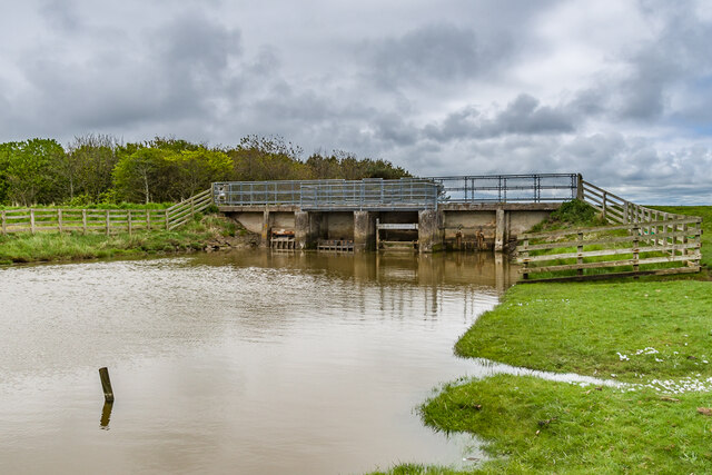
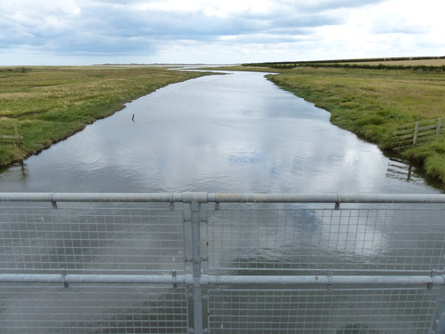
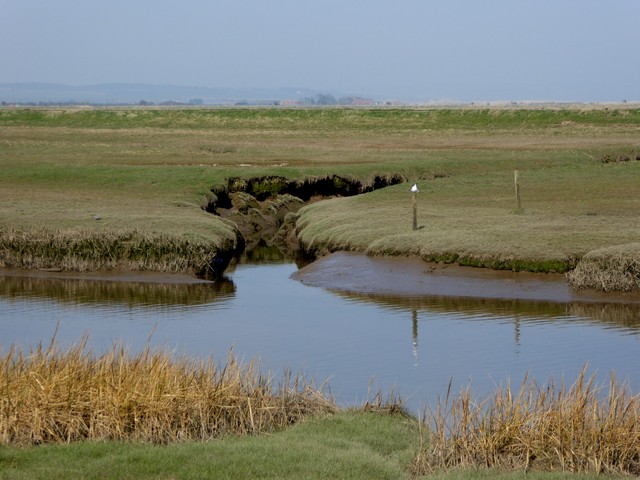
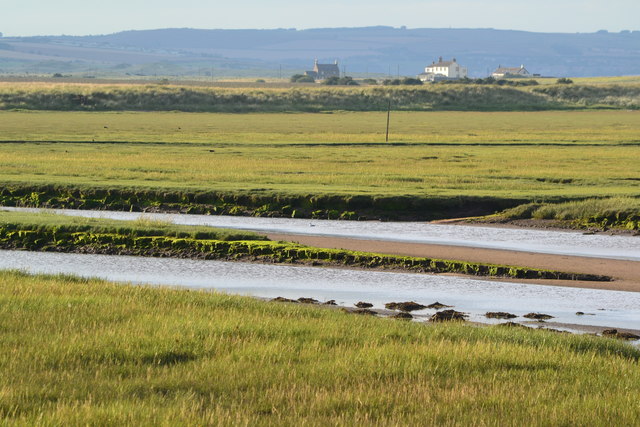
South Low is a river in Northumberland which discharges into the North Sea by Beal Point, north of the causeway to Holy Island. South Low is aproximately 24 km long and flows near Haggerston and Lowlynn.


from https://environment.data.gov.…
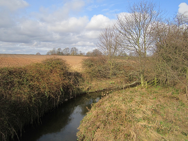
South Low from Source to Haggerston Bridge Water Body
Added by
Simon Cotterill
from https://environment.data.gov.…
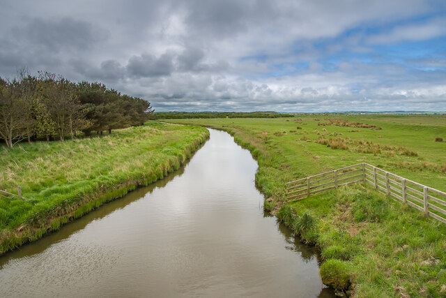
South Low from Haggerston Bridge to N Sea Water Body
Added by
Simon Cotterill
Co-Curate Page
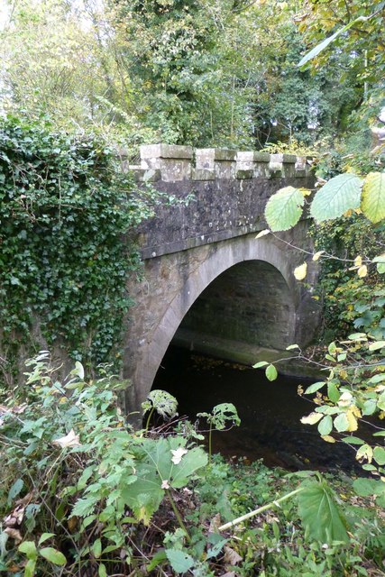
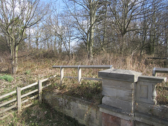
Lowlynn Bridge
- Overview Map Street View Lowlynn Bridge, located east of Lowlynn Mill, is a road bridge over South Low (river). It is a single segmental arch bridge, built in the early …

from https://environment.data.gov.…
South Low from Source to Haggerston Bridge Water Body
Added by
Simon Cotterill
from https://environment.data.gov.…
South Low from Haggerston Bridge to N Sea Water Body
Added by
Simon Cotterill
Co-Curate Page
Lowlynn Bridge
- Overview Map Street View Lowlynn Bridge, located east of Lowlynn Mill, is a road bridge over South Low (river). It is a single segmental arch bridge, built in the early …