Topics > Geography > Rivers > River Allen > River East Allen > Sinderhope Burn
Sinderhope Burn
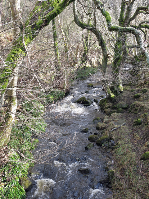
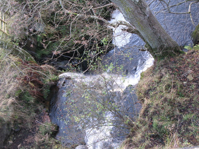
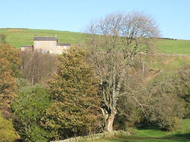
Sinderhope Burn is a tributary of the River East Allen in Northumberland.
from Geograph (geograph)
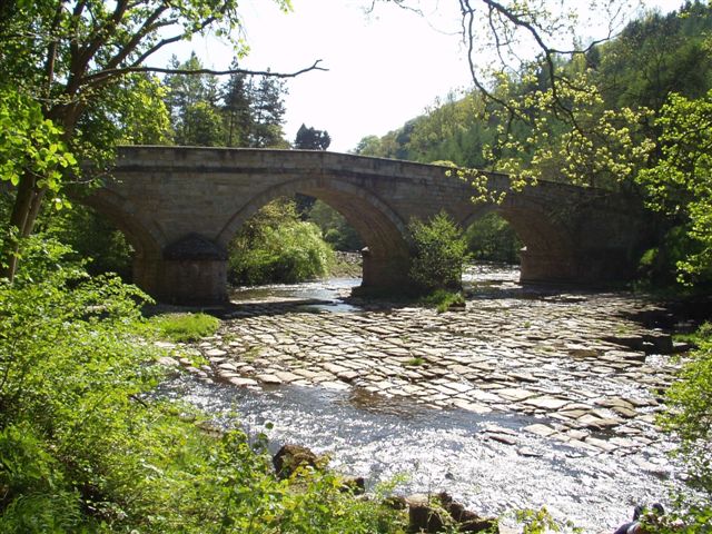
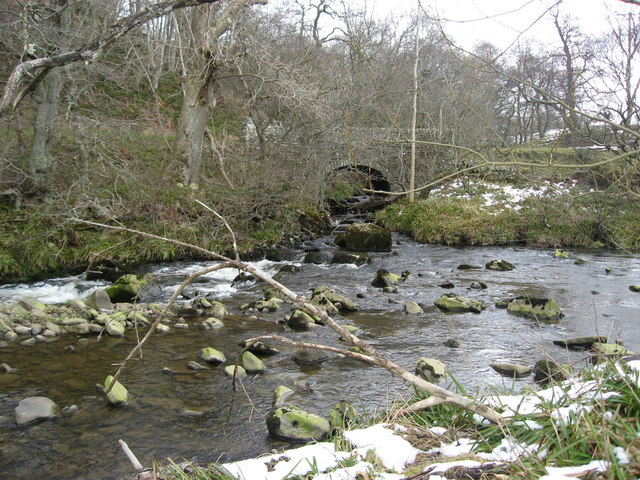
The confluence of the River East Allen and Sinderhope Burn
Pinned by Simon Cotterill
Co-Curate Page
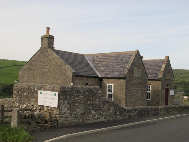
Sinderhope
- Overview About Sinderhope Map Street View Sinderhope is a village by the River East Allen, located 2 miles south of Allendale Town in Northumberland. The population is spread over a …
Co-Curate Page
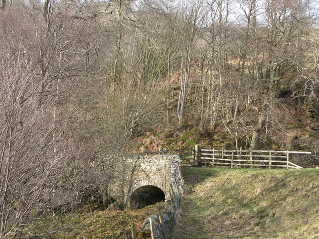
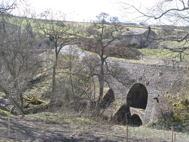
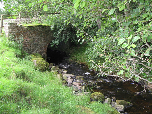
Sinderhope Bridge, over Sinderhope Burn
- Overview Map Street View Sinderhope Bridge at Sinderhope in Northumberland, carries the B6295 road over Sinderhope Burn, a short distance downstream of its confluence with Hollocks Burn. Built in the …

from Geograph (geograph)
The confluence of the River East Allen and Sinderhope Burn
Pinned by Simon Cotterill
Co-Curate Page
Sinderhope
- Overview About Sinderhope Map Street View Sinderhope is a village by the River East Allen, located 2 miles south of Allendale Town in Northumberland. The population is spread over a …
Co-Curate Page
Sinderhope Bridge, over Sinderhope Burn
- Overview Map Street View Sinderhope Bridge at Sinderhope in Northumberland, carries the B6295 road over Sinderhope Burn, a short distance downstream of its confluence with Hollocks Burn. Built in the …