Topics > Northumberland > Scremerston
Scremerston
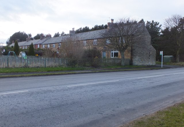
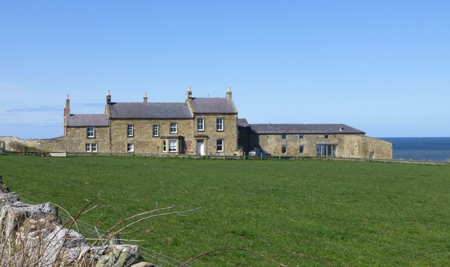
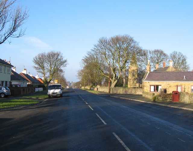
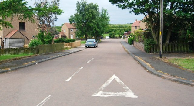
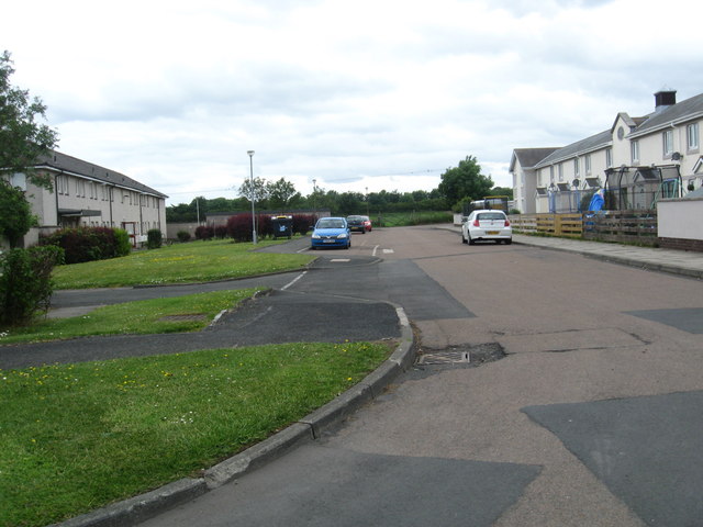
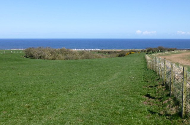
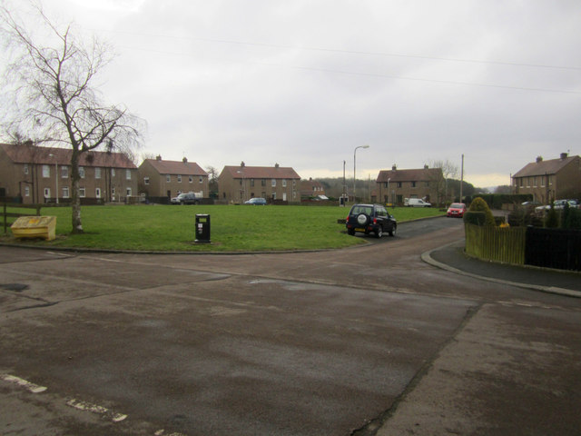
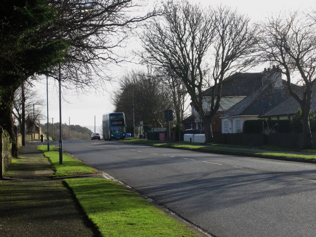
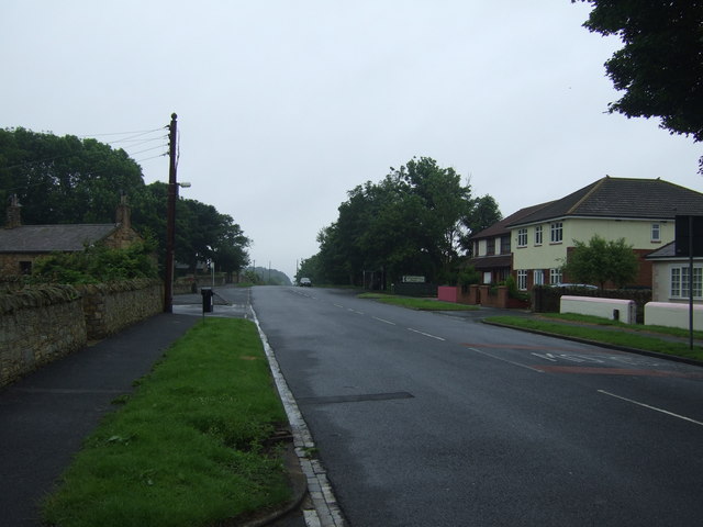
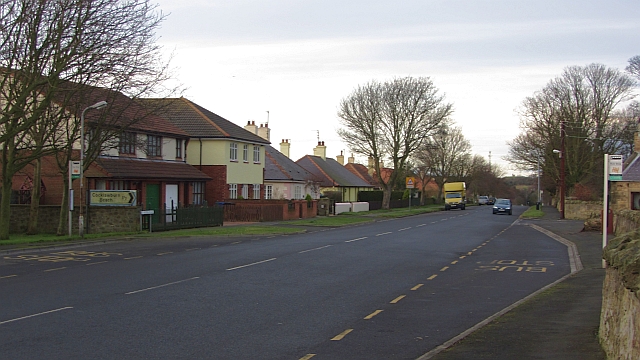
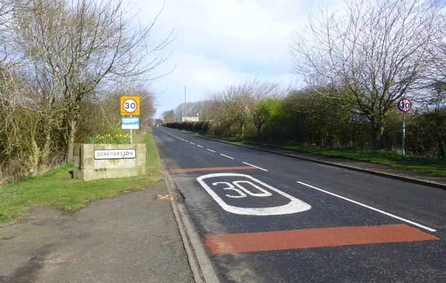
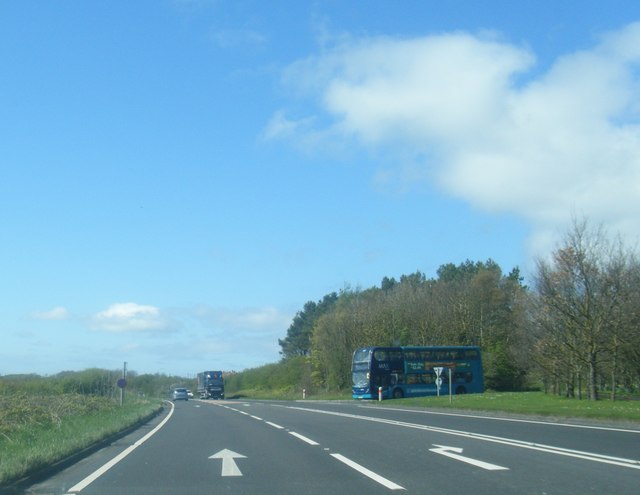
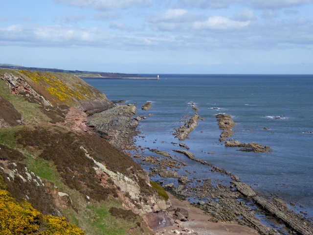
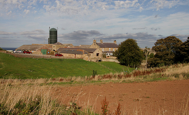
Scremerston is a village in Northumberland, England. The village lies on the North Sea coast about 3 miles (5 km) south of Berwick-upon-Tweed. Scremerston lies adjacent to the A1, the main national north/south trunk road, providing access to Newcastle upon Tyne to the south, and to the Scottish capital Edinburgh to the north.
History
The lands historically were held by the Radcliffe family, Earls of Derwentwater, but when James the last earl was tainted in 1716 the lands were granted to the Commissioners of Greenwich Hospital. At the end of the nineteenth century the sole landowners are given as the Lords of the Admiralty.
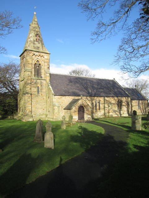
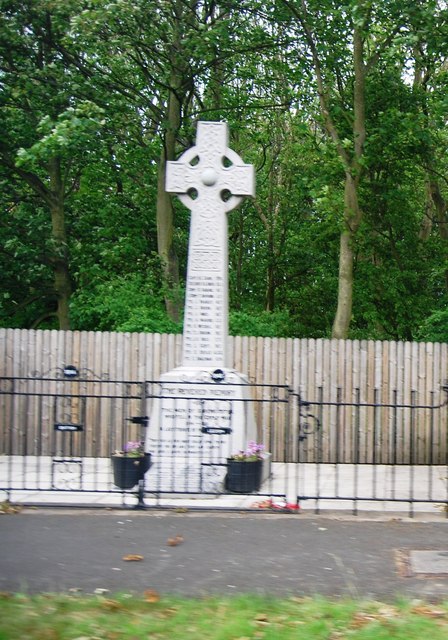
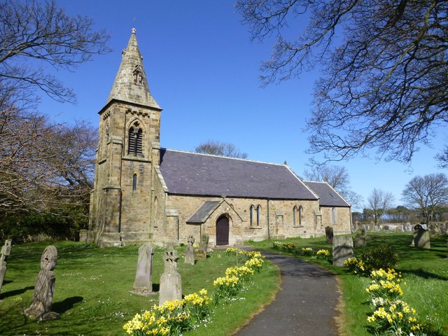
Geological variations in this area allowed many seams to develop, some two feet thick, and were among the earliest coal formations in Britain. There were extensive collieries and manufactories of lime, bricks and tiles around Scremerston, and this, as well as agriculture, were the mainstays for employment for people in the area. The soil is of a clay nature, perfect for the making of bricks and tiles. Crops such as wheat, beans, barley, oats and turnip were grown. The parish is largely agricultural, but the influence of mining is responsible for the growth of the township, though today all of those mines have been closed. The Anglican church of St. Peter's stands here, consecrated in 1842 and built in the early English style. There was also a Primitive Methodist chapel built in 1886 at a cost of nearly £400. The population for 1851 is given as 1,152 people though by 1891 it had fallen to 890.
Governance
Scremerston is in the parliamentary constituency of Berwick-upon-Tweed.
Landmarks
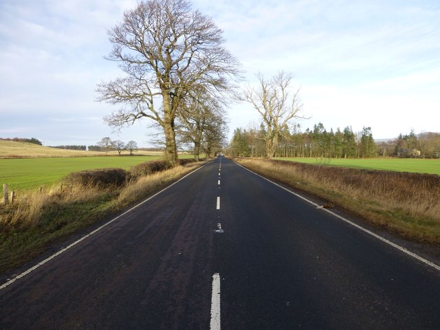
The Devil's Causeway passes the village less than to the west. The causeway is a Roman road which starts at Port Gate on Hadrian's Wall, north of Corbridge, and extends northwards across Northumberland to the mouth of the River Tweed at Berwick-upon-Tweed.
Sports
Berwick RFC, which plays in the Scottish leagues, is based here.
Visit the page: Scremerston for references and further details. You can contribute to this article on Wikipedia.
Co-Curate Page
Devil's Causeway (Roman Road)
- Overview About the Devil's Causeway The Devil's Causeway was a Roman road, which branches off Dere Street north of Corbridge, running about 55 miles to near Berwick-upon-Tweed. Today some of …
Co-Curate Page
Ancroft
- Overview About Ancroft Map Street View Ancroft is a village and civil parish (which includes the village of Scremerston) in Northumberland, England. Prior to 1844, Ancroft lay within the …

Co-Curate Page
Ancroft Chapelry, 1855
- Extract from: History, Topography, and Directory of Northumberland...Whellan, William, & Co, 1855. ANCROFT PAROCHIAL CHAPELRY ANCROFT is a parochial chapelry, comprising the townships of Ancroft, Cheswick, Haggerston, and Scremerston, …

Co-Curate Page
Devil's Causeway (Roman Road)
- Overview About the Devil's Causeway The Devil's Causeway was a Roman road, which branches off Dere Street north of Corbridge, running about 55 miles to near Berwick-upon-Tweed. Today some of …
Co-Curate Page
Ancroft
- Overview About Ancroft Map Street View Ancroft is a village and civil parish (which includes the village of Scremerston) in Northumberland, England. Prior to 1844, Ancroft lay within the …