Topics > Geography > Rivers > River Skerne > Woodham Burn > Rushyford Beck
Rushyford Beck
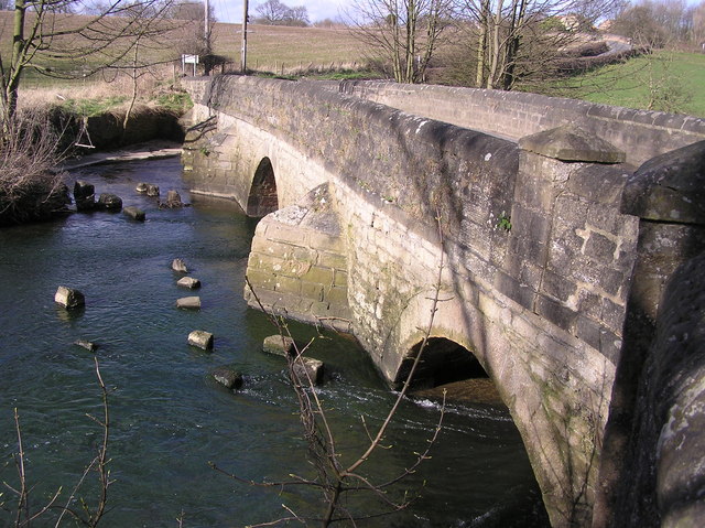
Rushyford Beck is a stream which is a tributary of Woodham Burn, which feeds into the River Skerne. Rushyford Beck flows in a roughly south easterly direction, through Leasingthorne and Rushyford, before joining Woodham Burn to the north-east of Newton Aycliffe. Rushyford Beck is about 7.7 km long, with a catchment area of 17.4 km2.[1] Historically, there were a couple of water-powered corn mills on Rushyford Beck; a mill at what is now Millwood Farm[2], by Mill Wood, to the noth-west of Rushyford; and what is now Merrington Mill Farm[3].

from https://environment.data.gov.…
Rushyford Beck from Source to Woodham Burn
Added by
Simon Cotterill
Co-Curate Page
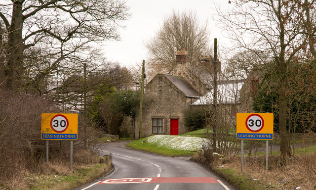
Leasingthorne
- Overview Map Street View Leasingthorne is a small village in County Durham located about 3 miles north-east of Bishop Auckland. Leasingthorne is under a mile east of Leeholm and Coundron …
Co-Curate Page
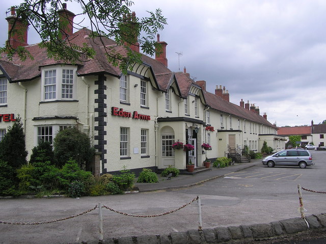
Rushyford
- Overview Map Street View Rushyford is a village in County Durham located immediately south of Chilton and about 2 miles north of Newton Aycliffe. The village is situated by Rushyford …

from https://keystothepast.info/se…
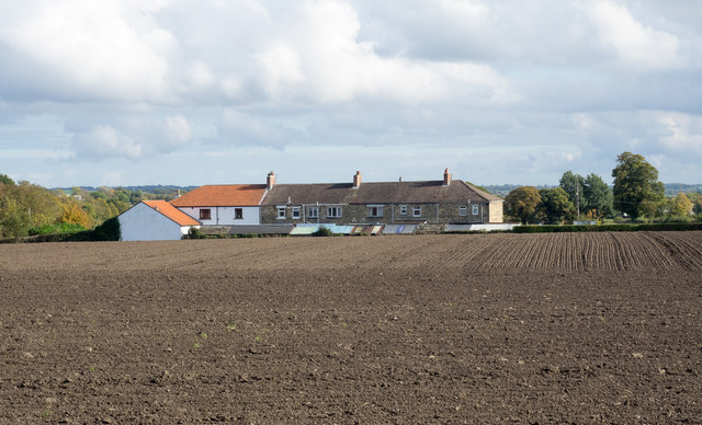
Windlestone Mill (Corn)
- Mill shown on historic map with mill race and mill pond. A row of mill cottages is shown to the south. Now appears to be the site of a farm...
Added by
Simon Cotterill

from https://keystothepast.info/se…
Merrington Mill (Corn)
- Mill shown on historic map with mill race and mill pond. Later renamed to Windlestone Mill before eventually becoming the site of a farm.....
Added by
Simon Cotterill

from https://environment.data.gov.…
Rushyford Beck from Source to Woodham Burn
Added by
Simon Cotterill
Co-Curate Page
Leasingthorne
- Overview Map Street View Leasingthorne is a small village in County Durham located about 3 miles north-east of Bishop Auckland. Leasingthorne is under a mile east of Leeholm and Coundron …
Co-Curate Page
Rushyford
- Overview Map Street View Rushyford is a village in County Durham located immediately south of Chilton and about 2 miles north of Newton Aycliffe. The village is situated by Rushyford …
from https://keystothepast.info/se…
Windlestone Mill (Corn)
- Mill shown on historic map with mill race and mill pond. A row of mill cottages is shown to the south. Now appears to be the site of a farm...
Added by
Simon Cotterill
from https://keystothepast.info/se…
Merrington Mill (Corn)
- Mill shown on historic map with mill race and mill pond. Later renamed to Windlestone Mill before eventually becoming the site of a farm.....
Added by
Simon Cotterill