Topics > Northumberland > Ross
Ross
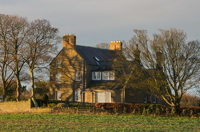
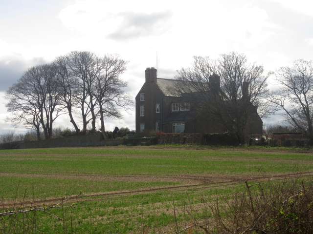
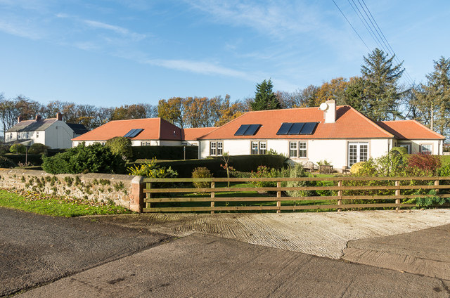
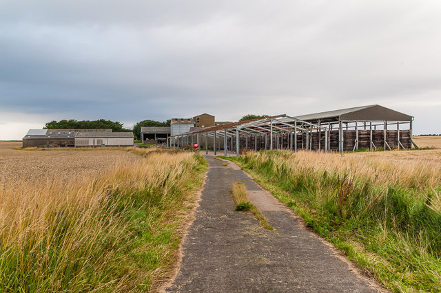
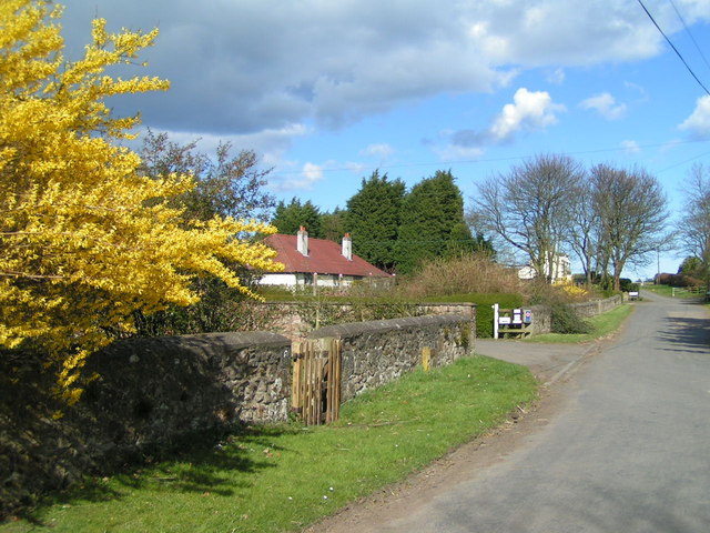
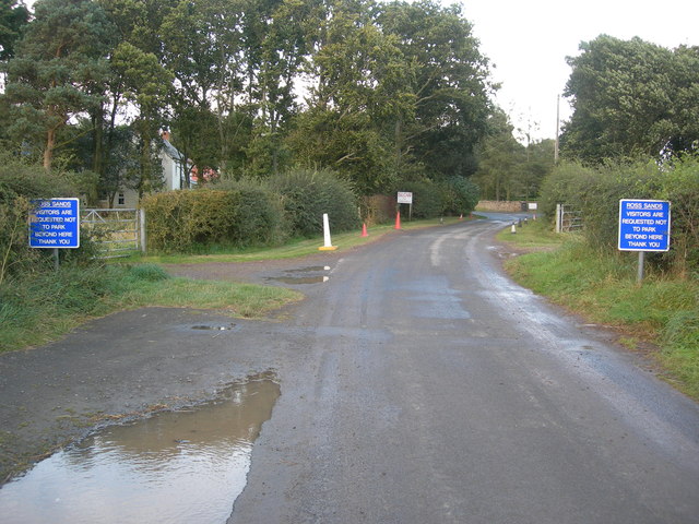
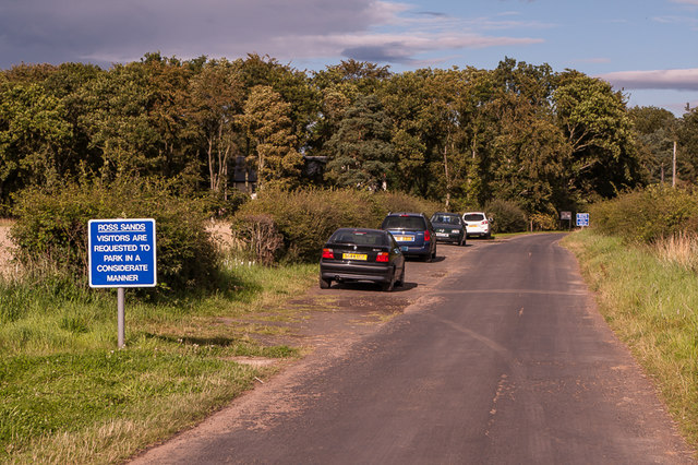
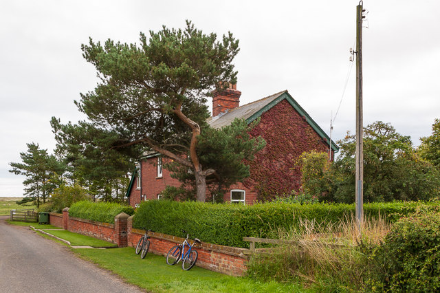
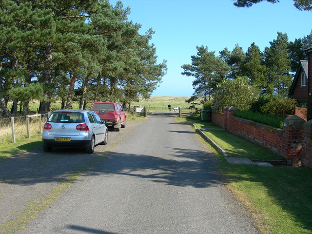
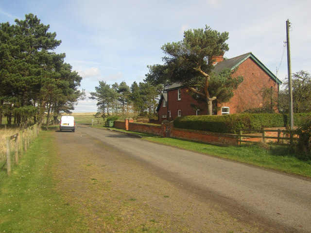
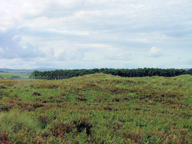
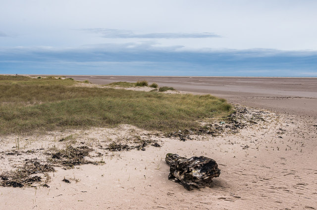
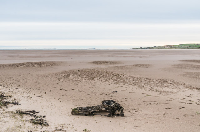
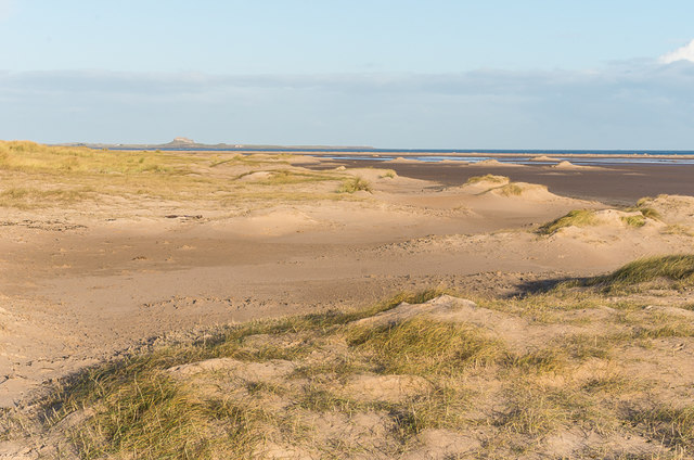
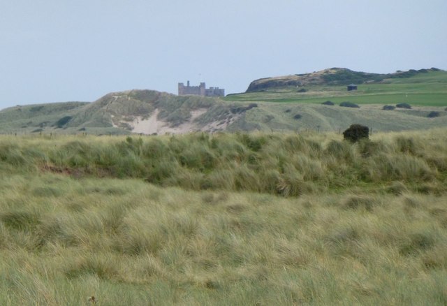
Ross is a hamlet in Northumberland, located on the north side of Budle Bay on the coast, about 2 miles north-west of Belford. Ross is the site of a medieval deserted village.[1] Today, there is a large farm at Ross and a few farm and old coastguard cottages, including Ross Farm Cottages (holiday rentals). Ross Low is a stream which flows by the settlement into Budle Bay. Ross Back Sands and Ross Links are located to the east of Ross. During World War 2, Ross Links was used for anti-tank training, and there was a small light railway, probably used for moving target practice.[2] A pillbox just to the west of Ross Farm is one of a number of World War 2 defences in the area. Historically, Ross was a township in the ancient parish of Belford. Today, the settlement is part of Middleton Civil Parish.
ROSS, a township, in the parish and union of Belford, in Islandshire, N. division of Northumberland, 3 miles (N. E.) from Belford; containing 56 inhabitants. It is situated in the southern part of Islandshire, and comprises an extensive rabbit-warren, stretching along the coast, in a kind of promontory, to Holy-Island harbour.
Extract from: A Topographical Dictionary of England comprising the several counties, cities, boroughs, corporate and market towns, parishes, and townships..... 7th Edition, by Samuel Lewis, London, 1848.


from https://www.airfieldresearchg…
Holy Island area ranges - Ross Links
- ".... Ross Links has been associated with anti-tank training and was certainly in operation in 1948 as a Territorial Army practice was being held there. By 1958 the site was …
Added by
Simon Cotterill
Co-Curate Page
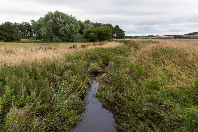
Ross Low
- Ross Low is a burn (stream) which flows near the settlement of Ross and discharges into the North Sea at Budle Bay in Northumberland. It's major tributaries are Elwick Burn …

from https://keystothepast.info/se…
Ross deserted medieval village (Belford with Middleton)
- "The village of Ross is mentioned in a document written in 1254. Today, Ross consists of a farmstead and several cottages. Archaeologists describe medieval settlements that have become depopulated as …
Added by
Simon Cotterill
from Geograph (geograph)
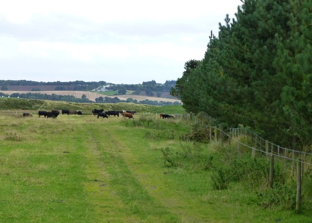
Cattle grazing on the grass behind Ross Back Sands
Pinned by Simon Cotterill

Co-Curate Page
Belford Parish, 1855
- Extract from: History, Topography, and Directory of Northumberland...Whellan, William, & Co, 1855. BELFORD PARISH. BELFORD is a parish chiefly in the northern division or Bambrough Ward, and partly in …

from https://www.airfieldresearchg…
Holy Island area ranges - Ross Links
- ".... Ross Links has been associated with anti-tank training and was certainly in operation in 1948 as a Territorial Army practice was being held there. By 1958 the site was …
Added by
Simon Cotterill
Co-Curate Page
Ross Low
- Ross Low is a burn (stream) which flows near the settlement of Ross and discharges into the North Sea at Budle Bay in Northumberland. It's major tributaries are Elwick Burn …
from https://keystothepast.info/se…
Ross deserted medieval village (Belford with Middleton)
- "The village of Ross is mentioned in a document written in 1254. Today, Ross consists of a farmstead and several cottages. Archaeologists describe medieval settlements that have become depopulated as …
Added by
Simon Cotterill
from Geograph (geograph)
Cattle grazing on the grass behind Ross Back Sands
Pinned by Simon Cotterill


