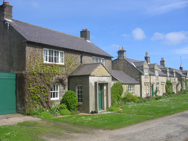
Topics > Northumberland > Rock > Rock Conservation Area, Northumberland
Rock Conservation Area, Northumberland
%
Note: Map data from Northumberland County Council c/o Open Data UK, under the Open Government Licence, imported into Google MyMaps, February 2026. Check with NCC for amendments and updates.
Co-Curate Page
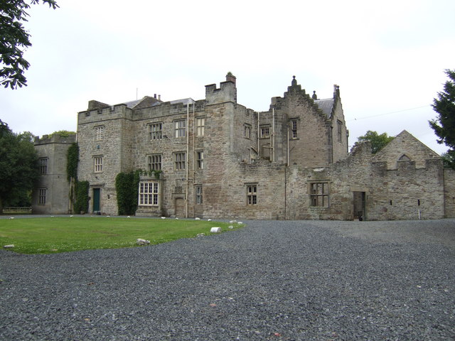
Rock Hall
- Overview About Rock Hall Map The Hall at Rock in Northumberland was originally built in the 13th or early 14th century. It's south wing was converted into a tower in …