Topics > Cumbria > Rivers in Cumbria > River Waver
River Waver
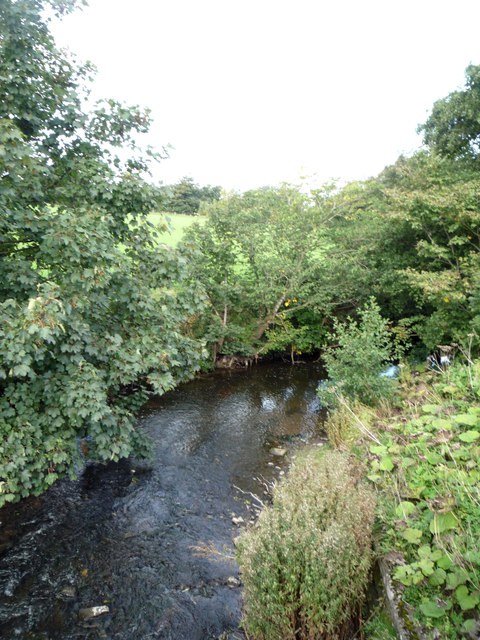
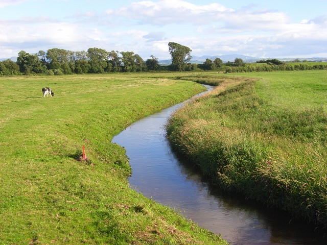
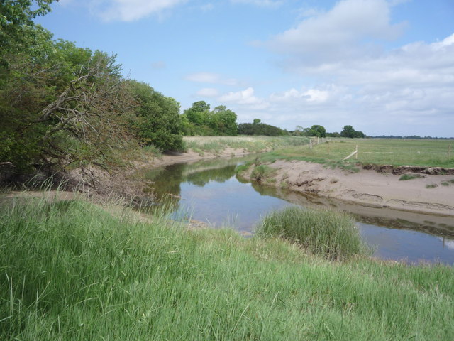
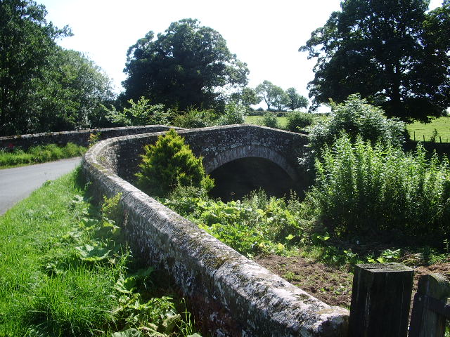
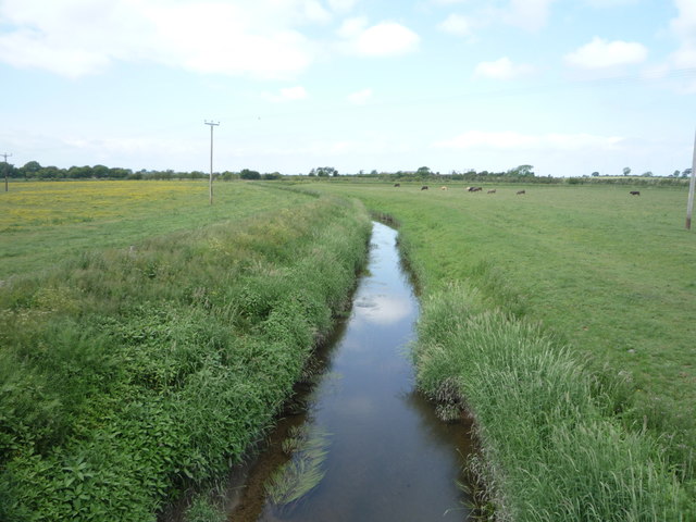
The River Waver is a river in Cumbria which discharges into the Solway Firth. The river, arising at Wavergillhead as Townthwaite Beck, is 44.6 km long and has a actchment area of 68.1 km2.[1]

Co-Curate Page
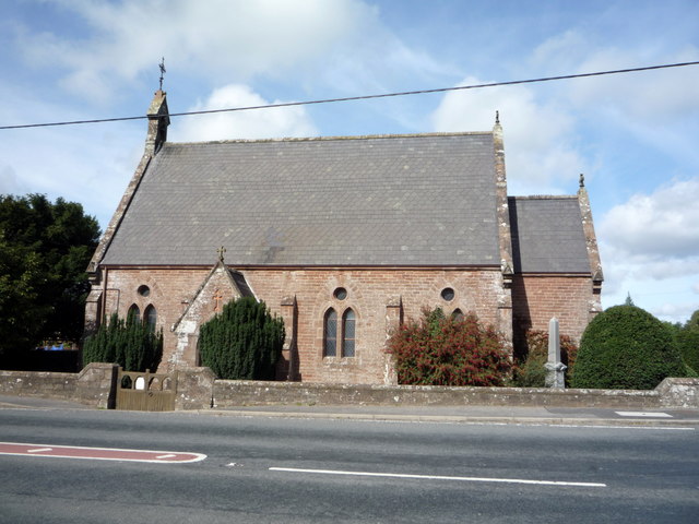
Abbeytown
- Overview About Abbeytown Map Street View Abbeytown is a village in the Allerdale district of Cumbria. It is located on the B5302 road, about 6 miles north-west of Wigton. The …
Co-Curate Page
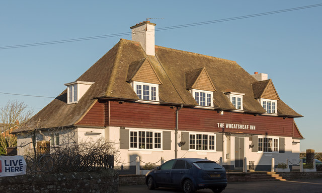
Waverton
- Overview About Waverton Map Street View Waverton is a village in the Allerdale district of Cumbria, located about 2 miles south-west of Wigton and 6 miles north-east of Aspatria. It …

Co-Curate Page
Abbeytown
- Overview About Abbeytown Map Street View Abbeytown is a village in the Allerdale district of Cumbria. It is located on the B5302 road, about 6 miles north-west of Wigton. The …
Co-Curate Page
Waverton
- Overview About Waverton Map Street View Waverton is a village in the Allerdale district of Cumbria, located about 2 miles south-west of Wigton and 6 miles north-east of Aspatria. It …


