Topics > Cumbria > Rivers in Cumbria > River Lowther (Cumbria)
River Lowther (Cumbria)
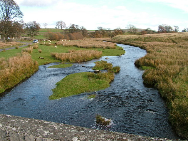
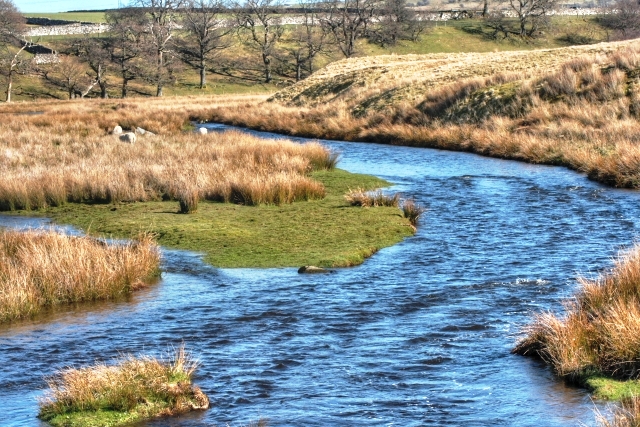
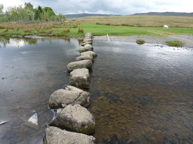
The River Lowther is a small river which flows through limestone rock in Cumbria, England. It is a tributary of the River Eamont which in turn is a tributary of the River Eden which flows into the Solway Firth near Carlisle. The Lowther begins with the confluence of the Keld Gill and the Keld Dub near the village of Keld. It flows north-west until it passes between Bampton and Bampton Grange, before turning north until it flows into the River Eamont close to Penrith.
It is the main spawning area for Eden spring salmon, but is primarily a trout fishery. The river is held back by the Wet Sleddale dam, and so flows at a fairly consistent level (between 0.33m and 1.8m for 90% of monitoring time), with the highest level ever recorded at the River Lowther (2.93m) occurring at Eamont Bridge, Beehive, on Sunday 6 December 2015.
Its name is recorded about 1175 as Lauder. It may come from Old Norse lauðr + á, meaning "foamy river". Or else, it may come from Brittonic lǭwadr, "a washing or bathing place", which would give it the same etymology as Lauder, Scotland.
Settlements
- Keld
- Rosgill
- Bampton Grange
- Bampton
- Askham
- Lowther
- Eamont Bridge
- Brougham
Sights and Attractions
- Keld Chapel (National Trust), Keld
- Shap Abbey, (English Heritage), near Shap
- Askham Hall, Askham
- Lowther Castle
- Castlesteads Ruins, Yarnwath Woods
- King Arthur's Round Table Henge, Eamont Bridge
- Mayburgh Henge, Eamont Bridge
- Brougham Hall
- Brocavum Roman Camp
- Brougham Castle (English Heritage)
Tributaries
- Swindale Beck
- Haweswater Beck
- Gill Beck
- Heltondale Beck
Visit the page: River Lowther for references and further details. You can contribute to this article on Wikipedia.
Co-Curate Page
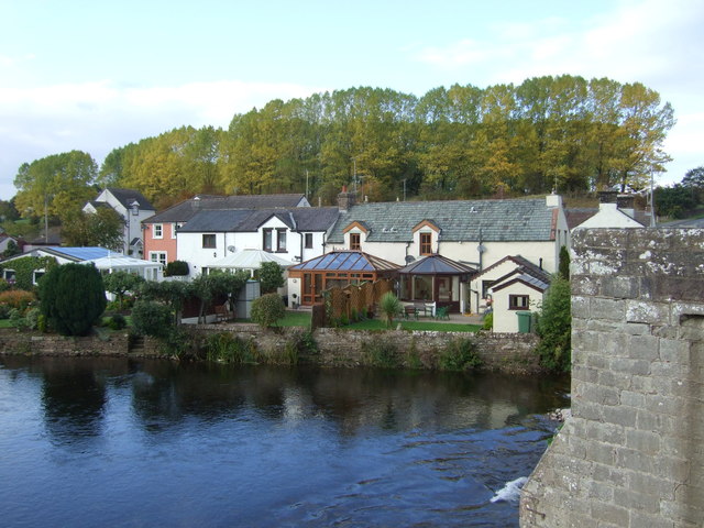
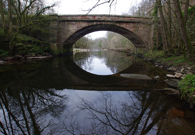
Askham Bridge
- Askham Bridge over the River Lowther was built in 1897. The bridge is Garde II listed.
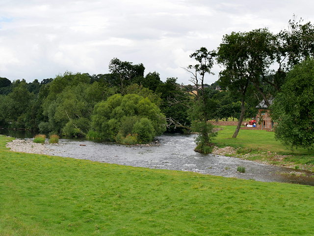
from Geograph (geograph)
Confluence of Rivers Eamont and Lowther near Brougham Castle
Pinned by Edmund Anon
Co-Curate Page
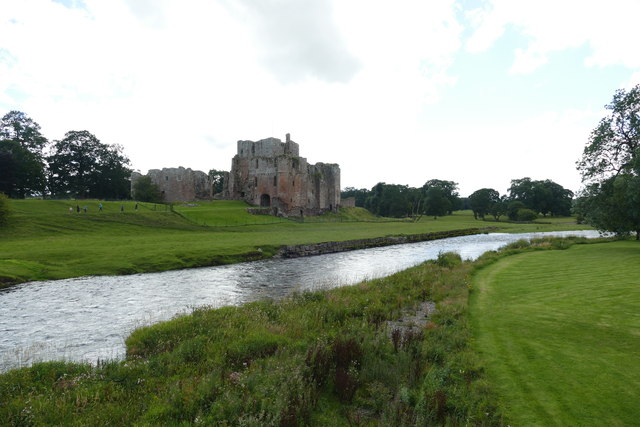
River Eamont
- Overview About the River Eamont The River Eamont is a river which forms from the outflow from Ullswater (lake) in Cumbria. It is one of the major tributaries of the …
Co-Curate Page
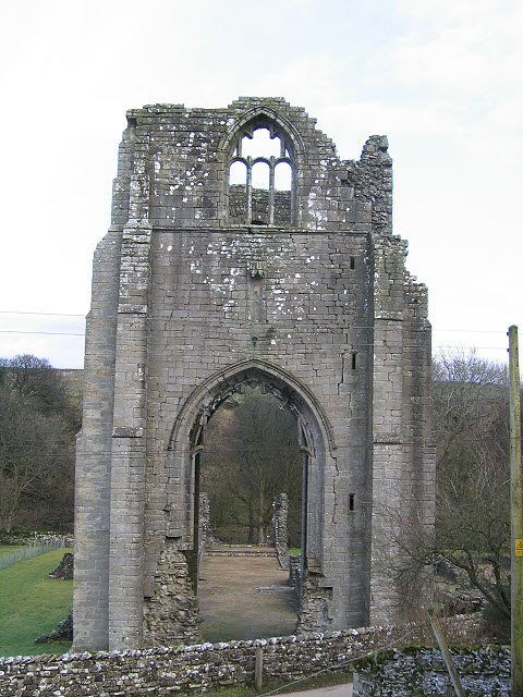
Shap Abbey (ruins)
- Overview About Shap Abbey Map Street View Shap Abbey is located about 1½ miles west of the village of Shap in Cumbria. The Abbey was founded in c.1200 by local …
Co-Curate Page
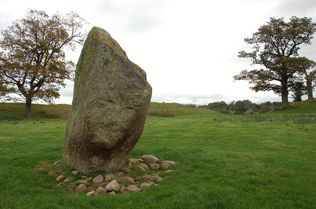
Mayburgh Henge
- Overview About Mayburgh Henge Map Street View Henges are ritual or ceremonial sites which date to the Late Neolithic period (2800-2000 BC). Mayburgh Henge is located close to the confluence …

Co-Curate Page
Rosgill Bridge
- Overview Map Street View Rosgill Bridge is a roadbridge over the River Lowther, located to the south-east of Rosgill in Cumbria. It was built in the late 17th century, replacing …
Co-Curate Page
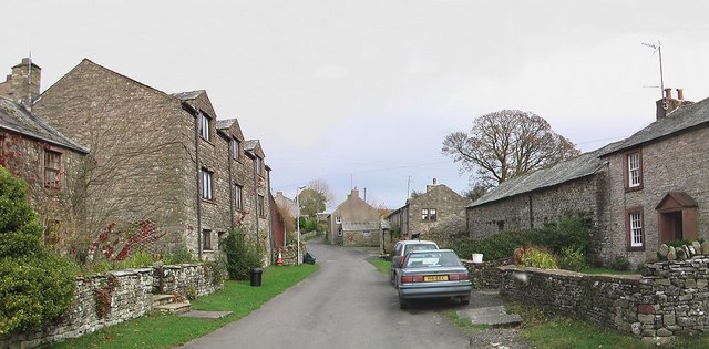
Keld, Cumbria
- Overview Map Street View Keld is a hamlet in Cumbria, situated near the River Lowther, located about 9½ miles south of Penrith and ¾ mile south-west of the village of …


Co-Curate Page
Askham Bridge
- Askham Bridge over the River Lowther was built in 1897. The bridge is Garde II listed.

from Geograph (geograph)
Confluence of Rivers Eamont and Lowther near Brougham Castle
Pinned by Edmund Anon

Co-Curate Page
River Eamont
- Overview About the River Eamont The River Eamont is a river which forms from the outflow from Ullswater (lake) in Cumbria. It is one of the major tributaries of the …

Co-Curate Page
Shap Abbey (ruins)
- Overview About Shap Abbey Map Street View Shap Abbey is located about 1½ miles west of the village of Shap in Cumbria. The Abbey was founded in c.1200 by local …

Co-Curate Page
Mayburgh Henge
- Overview About Mayburgh Henge Map Street View Henges are ritual or ceremonial sites which date to the Late Neolithic period (2800-2000 BC). Mayburgh Henge is located close to the confluence …

Co-Curate Page
Rosgill Bridge
- Overview Map Street View Rosgill Bridge is a roadbridge over the River Lowther, located to the south-east of Rosgill in Cumbria. It was built in the late 17th century, replacing …

