Topics > Cumbria > Rivers in Cumbria > River Irt
River Irt
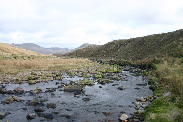
The River Irt is a river in the county of Cumbria in northern England. It flows for from the south-western end of Wast Water, the deepest lake in England, leaving the lake at the foot of Whin Rigg, the southern peak of the famous Wastwater Screes. The name of the river is believed to derive either from the Old English gyr which means "mud", or from the Brittonic words *ar, "flowing", or *īr, "fresh, clean, pure", suffixed with -ed, a nominal suffix meaning "having the quality of...".
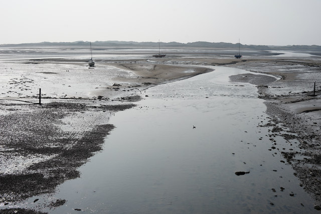
The river forms at the confluence of Lingmell Beck and Mosedale Beck on Wasdale Head, which is on the north-western side of Scafell Pike. On its short journey to the coast, the Irt is crossed by the Cumbria Coastal Way long-distance footpath, at Drigg Holme packhorse bridge. The Irt flows through the Drigg Dunes and Irt Estuary Nature Reserve before joining the River Esk and River Mite at Ravenglass. The river is tidal up until the railway bridge that carries the Cumbrian Coast Line just south of railway station.
In the 19th century the River Irt was famous for the extremely rare black pearls that grew in its freshwater mussels. Poaching of the pearls was thought to have led to the mussels becoming extinct in the River Irt, however, a very small number have survived. The West Cumbria Rivers Trust carried out conservation work on the river between February 2015 and February 2018 to try and protect the habitat and prevent the complete eradication of the freshwater mussel from the river.
Settlements
- Nether Wasdale
- Santon Bridge
- Holmrook
- Drigg
- Ravenglass
Tributaries
- Greathall Beck
- Cinderdale Beck
- Black Beck
- Kid Beck
- River Bleng

from https://environment.data.gov.…
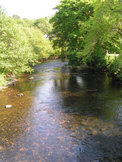
River Irt (downsteam of Bleng confluence)
Added by
Simon Cotterill
Co-Curate Page
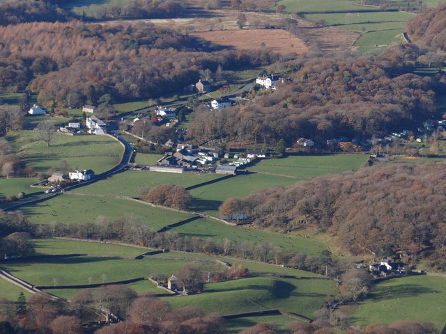
Nether Wasdale
- Overview About Nether Wasdale Map Nether Wasdale is a village in Cumbria, England, located in the Wasdale valley, near the River Irt and just over a mile to the …
Co-Curate Page
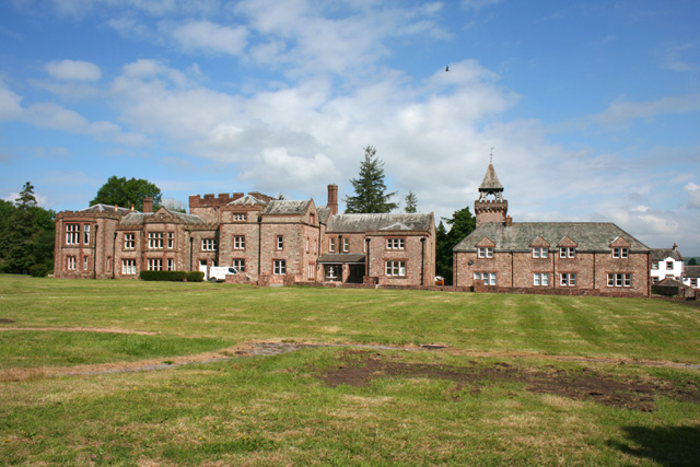
Irton
- Overview Map Street View Irton is a hamlet in the Copeland district of Cumbria, which includes Irton Hall and a few cottages. The settlement, situated by the River Irt, is …
Co-Curate Page
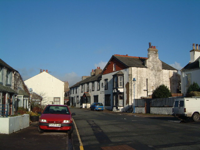
Ravenglass
- Overview About Ravenglass Map Street View Ravenglass is a coastal village in Cumbria, located about 18 miles north-west of Barrow-in-Furness and 15 miles south-east of Whitehaven. There was a Roman …
Co-Curate Page
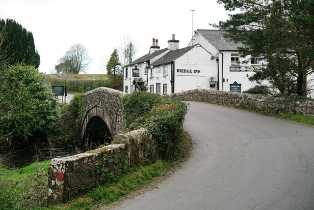
Santon Bridge
- Overview Map Street View Santon Bridge is a village in Cumbria, situated by the River Irt, and located about 3½ miles north-east of Ravenglass and 12 miles south-east of Whitehaven. …
Co-Curate Page
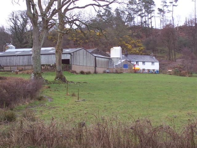
Hollins, Wasdale
- Overview Map Hollins is a farm, located about 1 mile south-west of Nether Wasdale and 2 miles east of Gosforth, in Cumbria. The farm is situated to the east of …
Co-Curate Page
Hollins Bridge
- Overview Map Hollins Bridge is a single track road bridge over the River Irt, located about ¼mile south-west of Hollins Farm, in Wasdale, Cumbria. Just 14 metres downstream is the …

Co-Curate Page
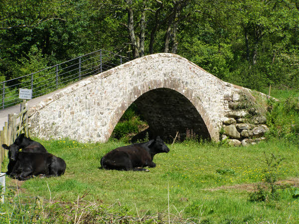
Old Hollins Bridge
- Overview Map Old Hollins Bridge is a dramatic humpback bridge over the River Irt. It is located about ¼mile south-west of Hollins Farm, in Wasdale, Cumbria. Just 14 metres upstream …

Co-Curate Page
Craghouse Bridge over the River Irt
- Overview Map Craghouse Bridge is a stone road bridge that carries Crag Lane over the River Irt in Cumbria. The single segmental arched bridge dates from the 18th century. The …


from https://environment.data.gov.…
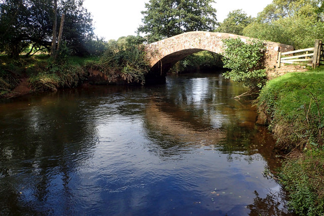
River Irt (downsteam of Bleng confluence)
Added by
Simon Cotterill
Co-Curate Page
Nether Wasdale
- Overview About Nether Wasdale Map Nether Wasdale is a village in Cumbria, England, located in the Wasdale valley, near the River Irt and just over a mile to the …
Co-Curate Page
Irton
- Overview Map Street View Irton is a hamlet in the Copeland district of Cumbria, which includes Irton Hall and a few cottages. The settlement, situated by the River Irt, is …
Co-Curate Page
Ravenglass
- Overview About Ravenglass Map Street View Ravenglass is a coastal village in Cumbria, located about 18 miles north-west of Barrow-in-Furness and 15 miles south-east of Whitehaven. There was a Roman …
Co-Curate Page
Santon Bridge
- Overview Map Street View Santon Bridge is a village in Cumbria, situated by the River Irt, and located about 3½ miles north-east of Ravenglass and 12 miles south-east of Whitehaven. …
Co-Curate Page
Hollins, Wasdale
- Overview Map Hollins is a farm, located about 1 mile south-west of Nether Wasdale and 2 miles east of Gosforth, in Cumbria. The farm is situated to the east of …
Co-Curate Page
Hollins Bridge
- Overview Map Hollins Bridge is a single track road bridge over the River Irt, located about ¼mile south-west of Hollins Farm, in Wasdale, Cumbria. Just 14 metres downstream is the …
Co-Curate Page
Old Hollins Bridge
- Overview Map Old Hollins Bridge is a dramatic humpback bridge over the River Irt. It is located about ¼mile south-west of Hollins Farm, in Wasdale, Cumbria. Just 14 metres upstream …
Co-Curate Page
Craghouse Bridge over the River Irt
- Overview Map Craghouse Bridge is a stone road bridge that carries Crag Lane over the River Irt in Cumbria. The single segmental arched bridge dates from the 18th century. The …